Fairfax Station in Fairfax County, Virginia — The American South (Mid-Atlantic)
Payne’s Church
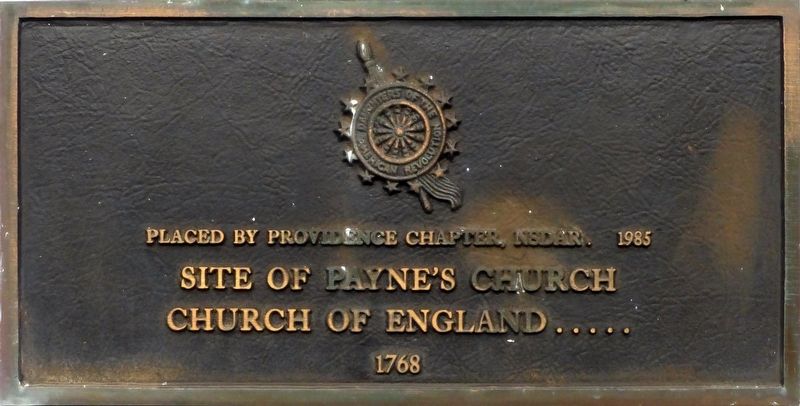
Site of Payne’s Church
Church of England…..
1768
Erected 1985 by Providence Chapter, National Society of the Daughers of the American Revolution.
Topics and series. This historical marker is listed in these topic lists: Churches & Religion • Colonial Era. In addition, it is included in the Daughters of the American Revolution series list. A significant historical year for this entry is 1768.
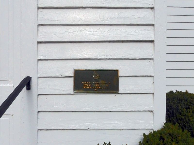
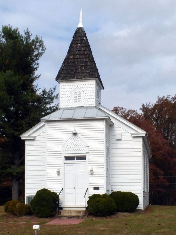
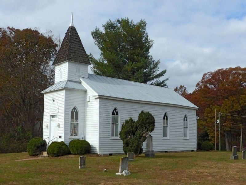
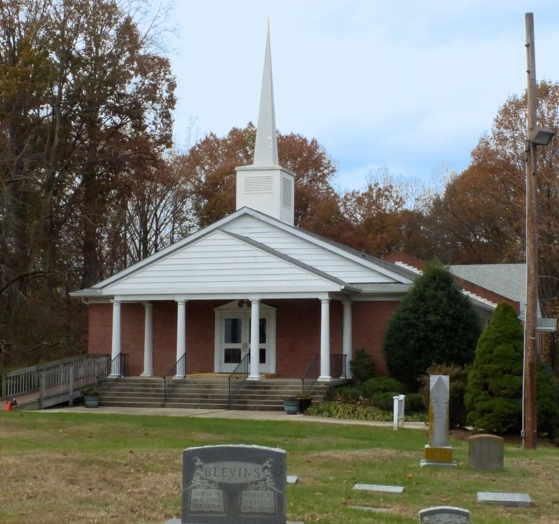
Location. 38° 48.586′ N, 77° 19.592′ W. Marker is in Fairfax Station, Virginia, in Fairfax County. Marker can be reached from Ox Road (Virginia Route 123) 0.1 miles south of Paynes Church Drive, on the right when traveling south. This marker is on the right of the door at the old chapel, Jerusalem Baptist Church. Touch for map. Marker is at or near this postal address: 5424 Ox Road, Fairfax Station VA 22039, United States of America. Touch for directions.
Other nearby markers. At least 8 other markers are within walking distance of this marker. Clara H. Barton (approx. 0.4 miles away); World Peace Sand Mandala (approx. half a mile away); The Legend Story of the First Prayer Wheel / Prayer for World Peace and Welfare (approx. half a mile away); In this Church of St. Mary’s (approx. half a mile away); Skirmish at St. Mary’s (approx. half a mile away); St. Mary’s Catholic Church (approx. half a mile away); Welcome to Fairfax Station (approx. 0.7 miles away); Hogshead (approx. 0.7 miles away). Touch for a list and map of all markers in Fairfax Station.
Regarding Payne’s Church. The brick colonial church building on this site was abandoned after the Revolution when the Church of England ceased to be the established church. It became a Baptist church in 1840. The brick church was torn down by Union troops during the Civil War and the bricks used to build winter quarters. In 1866 the brick church was replaced by the frame structure that stands today.
Also see . . . Jersusalem Baptist Church History. (Submitted on November 14, 2017, by Allen C. Browne of Silver Spring, Maryland.)
Credits. This page was last revised on November 15, 2017. It was originally submitted on November 14, 2017, by Allen C. Browne of Silver Spring, Maryland. This page has been viewed 743 times since then and 103 times this year. Photos: 1, 2, 3, 4, 5, 6. submitted on November 14, 2017, by Allen C. Browne of Silver Spring, Maryland. • Bernard Fisher was the editor who published this page.
