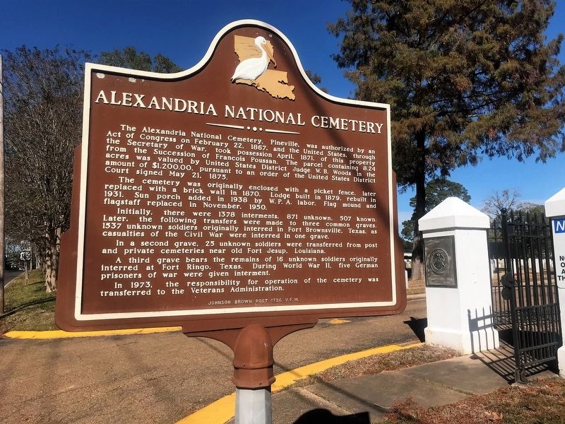
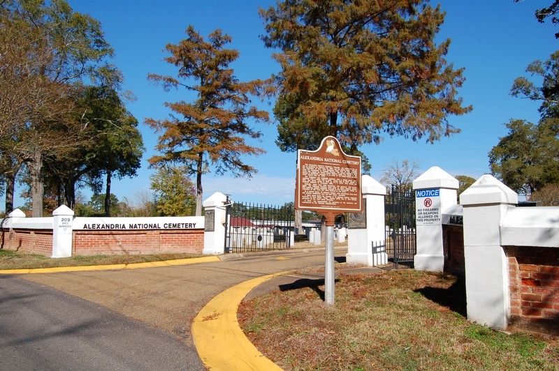
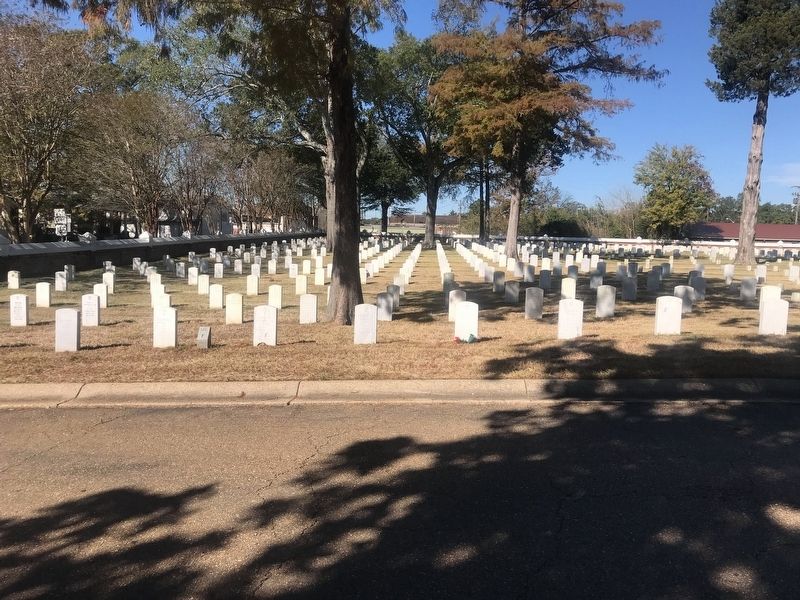
Alexandria National Cemetery
The cemetery was originally enclosed with a picket fence, later replaced with a brick wall in 1870. Lodge built in 1879, rebuilt in 1931. Sun porch added in 1938 by W.P.A. labor. Flag mound and flagstaff replaced in November, 1950.
Initially, there were 1378 interments, 871 unknown, 507 known. Later, the following transfers were made to three common graves. 1537 unknown soldiers originally interred in Fort Brownsville, Texas, as casualties of the Civil War were interred in one grave.
In a second grave, 25 unknown soldiers were transferred from post and private cemeteries near old Fort Jesup, Louisiana.
A third grave bears the remains of 16 unknown soldiers originally interred at Fort Ringo, Texas. During World War II, five German prisoners of war were given interment.
In 1973, the responsibility for operation of the cemetery was transferred to the Veterans Administration.
Erected by
Topics and series. This historical marker is listed in these topic lists: Cemeteries & Burial Sites • Military. In addition, it is included in the National Cemeteries series list.
Location. 31° 19.29′ N, 92° 25.981′ W. Marker is in Pineville, Louisiana, in Rapides Parish. Marker is on East Shamrock Street (State Road 1250) west of Sanders Street, on the right when traveling west. Touch for map. Marker is at or near this postal address: 209 East Shamrock Street, Pineville LA 71360, United States of America. Touch for directions.
Other nearby markers. At least 8 other markers are within walking distance of this marker. A different marker also named Alexandria National Cemetery (about 400 feet away, measured in a direct line); Address by President Lincoln (about 400 feet away); Intersection of Shamrock and Main Streets (about 500 feet away); City of Pineville (about 500 feet away); Main Street (about 600 feet away); 700 Block Main Street (about 600 feet away); 835 Main Street (about 700 feet away); 800 Block Main Street (about 700 feet away). Touch for a list and map of all markers in Pineville.
Credits. This page was last revised on November 25, 2023. It was originally submitted on November 25, 2017, by Cajun Scrambler of Assumption, Louisiana. This page has been viewed 290 times since then and 15 times this year. Photos: 1, 2, 3. submitted on November 25, 2017.


