Snyder in Scurry County, Texas — The American South (West South Central)
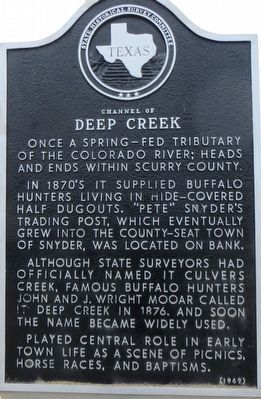
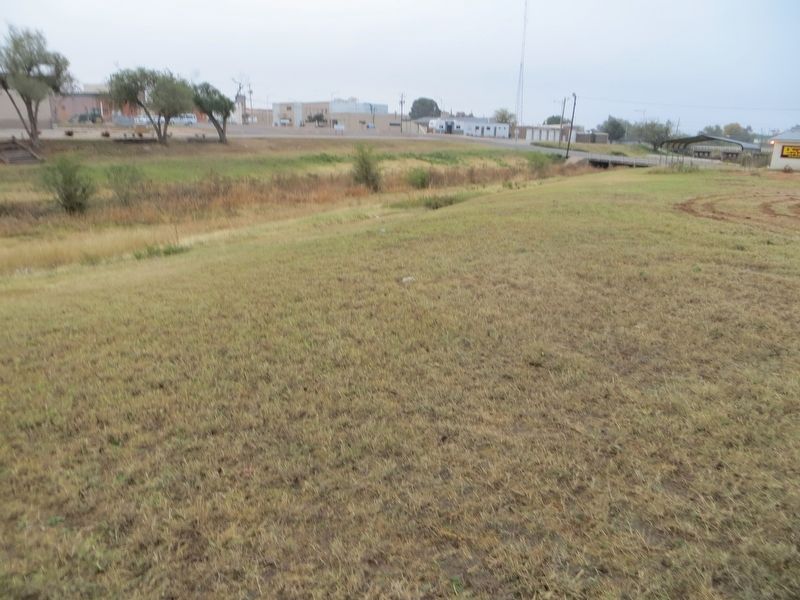
Channel of Deep Creek
In 1870s it supplied buffalo hunters living in hide-covered half dugouts. "Pete" Snyder's trading post, which eventually grew into the county-seat town of Snyder, was located on bank.
Although state surveyors had officially named it Culvers Creek, famous buffalo hunters John and J. Wright Mooar called it Deep Creek in 1876, and soon the name became widely used.
Played central role in early town life as a scene of picnics, horse races, and baptisms.
Erected 1969 by State Historical Survey Committee. (Marker Number 802.)
Topics. This historical marker is listed in this topic list: Waterways & Vessels. A significant historical year for this entry is 1876.
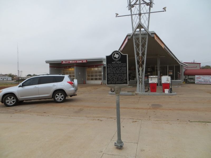
Location. 32° 43.026′ N, 100° 55.258′ W. Marker is in Snyder, Texas, in Scurry County. Marker is on 25th Street, on the right when traveling east. Touch for map. Marker is at or near this postal address: 2012 25th Street, Snyder TX 79549, United States of America. Touch for directions.
Other nearby markers. At least 8 other markers are within walking distance of this marker. City of Snyder (about 700 feet away, measured in a direct line); First State Bank Building (about 700 feet away); Home County of Famous Frontiersman J. Wright Mooar (approx. 0.2 miles away); Witness Tree (approx. 0.2 miles away); The Press in Snyder (approx. 0.2 miles away); County's First Law Men (approx. 0.2 miles away); Scurry County's Canyon Reef Oil Field (approx. 0.2 miles away); Santa Fe Railway in Scurry County (approx. 0.2 miles away). Touch for a list and map of all markers in Snyder.
Credits. This page was last revised on December 3, 2017. It was originally submitted on December 3, 2017, by Bill Kirchner of Tucson, Arizona. This page has been viewed 425 times since then and 50 times this year. Photos: 1, 2, 3. submitted on December 3, 2017, by Bill Kirchner of Tucson, Arizona.


