Center Point in Kerr County, Texas — The American South (West South Central)
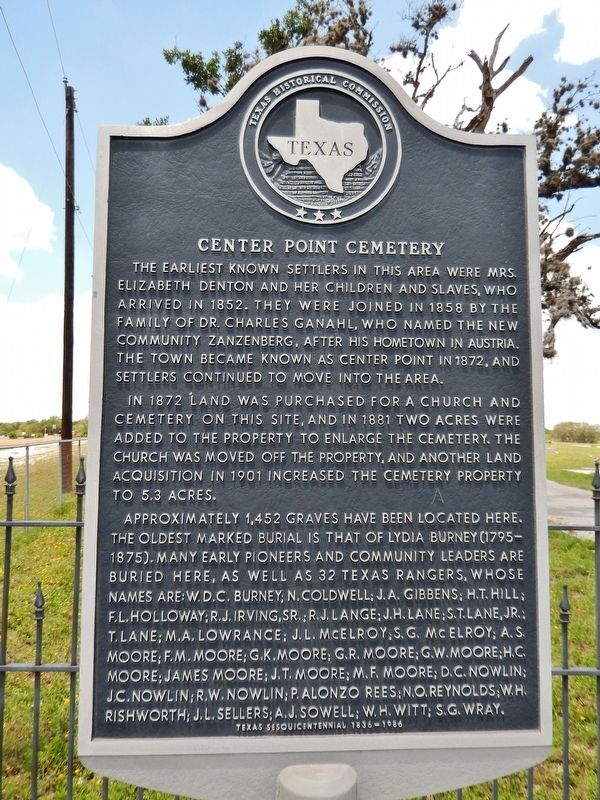
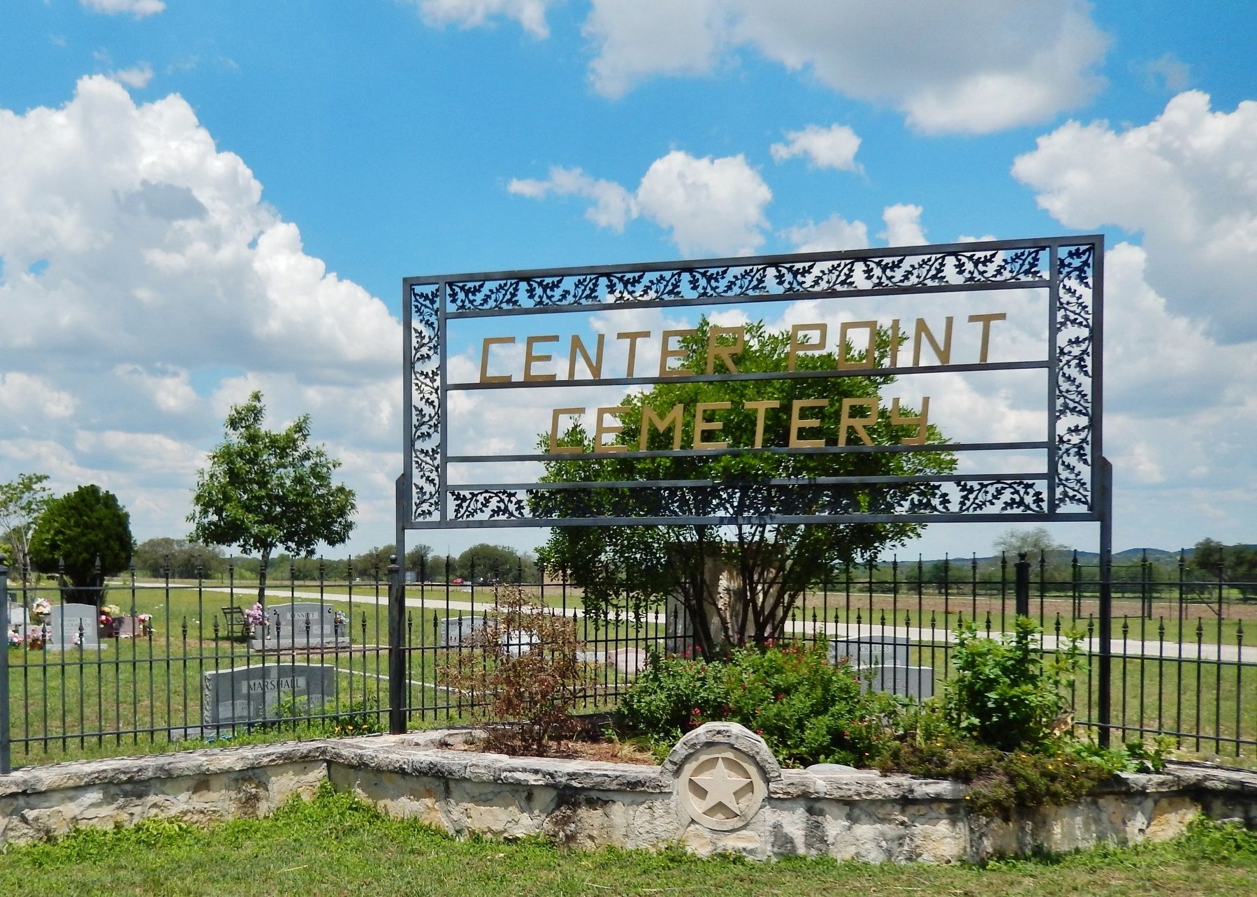
Center Point Cemetery
The earliest known settlers in this area were Mrs. Elizabeth Denton and her children and slaves, who arrived in 1852. They were joined in 1858 by the family of Dr. Charles Ganahl, who named the new community Zanzenberg, after his hometown in Austria. The town became known as Center Point in 1872, and settlers continued to move into the area.
In 1872 land was purchased for a church and cemetery on this site, and in 1881 two acres were added to the property to enlarge the cemetery. The church was moved off the property, and another land acquisition in 1901 increased the cemetery property to 5.3 acres.
Approximately 1,452 graves have been located here. The oldest marked burial is that of Lydia Burney (1795-1875). Many early pioneers and community leaders are buried here, as well as 32 Texas Rangers, whose names are: W.D.C.Burney; N. Coldwell; J.A. Gibbens; H.T. Hill; F.L. Holloway; R.J. Irving, Sr.; R.J. Lange; J.H. Lane; S.T. Lane, Jr.; T. Lane; M.A. Lowrance; J.L. McElroy; S.G. McElroy; A.S. Moore; F.M. Moore; G.K. Moore; G.R. Moore; G.W. Moore; H.C. Moore; James Moore; J.T. Moore; M.F. Moore; D.C. Nowlin; J.C. Nowlin; R.W. Nowlin; P. Alonzo Rees; N.O. Reynolds; W.H. Rishworth; J.L. Sellars; A.J. Sowell; W.H. Witt; S.G. Wray.
Erected 1986 by Texas Historical Commission. (Marker Number 786.)
Topics. This historical marker is listed in these topic lists: Cemeteries & Burial Sites • Settlements & Settlers. A significant historical year for this entry is 1872.
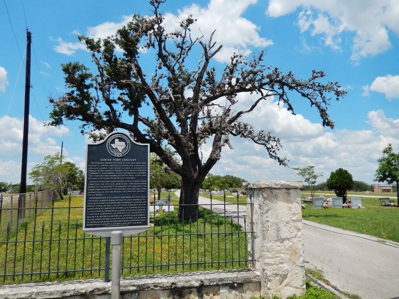
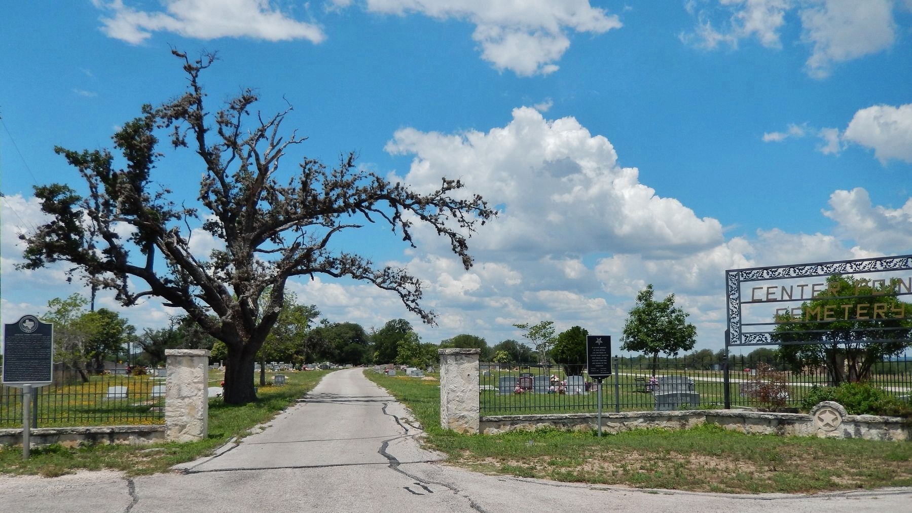
Location. 29° 56.101′ N, 99° 2.269′ W. Marker is in Center Point, Texas, in Kerr County. Marker is at the intersection of San Antonio Street (Farm to Market Road 480) and Elm Pass Road, on the right when traveling south on San Antonio Street. Located at the entrance to Center Point Cemetery. Touch for map. Marker is in this post office area: Center Point TX 78010, United States of America. Touch for directions.
Other nearby markers. At least 8 other markers are within walking distance of this marker. N.O. Reynolds (within shouting distance of this marker); Center Point Christian Church (approx. half a mile away); Center Point School (approx. half a mile away); Center Point United Methodist Church (approx. 0.6 miles away); Camp Verde, Texas (approx. 0.6 miles away); Center Point Train Depot (approx. 0.6 miles away); Center Point, Texas (approx. 0.6 miles away); Woolls Building (approx. 0.7 miles away). Touch for a list and map of all markers in Center Point.
Related markers. Click here for a list of markers that are related to this marker.
Also see . . . Center Point, Kerr County, Texas.
Founded largely by settlers from western Tennessee, the community continued to grow as relatives and neighbors from Tennessee converged to call Zanzenburg/Center Point their new home. On September 1, 1857, the first native of Center Point came into this world when Daniel C. Nowlin, son of Dr. James Crispin Nowlin and Ann Gathings Nowlin, was born. The first attempt at incorporating Center Point came on August 9, 1889 for "school purposes" as cited in minutes of Kerr County Commissioners Court. At the turn of the 20th century Center Point was a thriving trade center and remained so until like so many communities in America it became the victim of progress as the emergence of new highways passed it by. (Submitted on December 10, 2017, by Cosmos Mariner of Cape Canaveral, Florida.)
Credits. This page was last revised on December 11, 2017. It was originally submitted on December 10, 2017, by Cosmos Mariner of Cape Canaveral, Florida. This page has been viewed 555 times since then and 46 times this year. Photos: 1, 2, 3, 4. submitted on December 10, 2017, by Cosmos Mariner of Cape Canaveral, Florida. • Bernard Fisher was the editor who published this page.


