Near La Grande in Union County, Oregon — The American West (Northwest)
Highway US30 and Perry, Oregon

Photographed By Barry Swackhamer, June 30, 2017
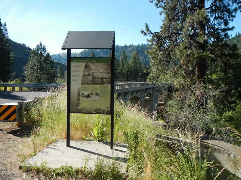
1. Highway US30 and Perry, Oregon Marker
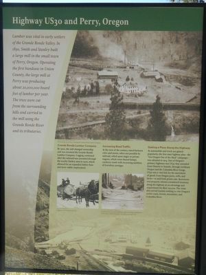
Captions: (upper right) The booming city of Perry, showing the Grande Ronde Lumber Company.; (middle left) Logging in the Grande Ronde hills.; (middle right) Corduroy roads are made by placing sand covered logs perpendicular to the road to create a road bed over a low or swampy area.
By 1900, the mill changed ownership and was renamed the Grande Ronde Lumber Company. Logging continued after the railroad was extended through the nearby Starkey area in 1906, which allowed for an expanded timber base and more stable employment.
At the turn of the century, travel between cities and towns, when not possible by railroad , relied upon stages of private wagons, which soon shared bumpy, corduroy roads with increasing numbers of horseless carriages.
As automobile and truck use gained popularity, the first state highway plan - "Get Oregon Out of the Mud" campaign - was adopted in 1914. One of Oregon's primary highways was US 30 that extended from Ontario to Seaside, through northeast Oregon and the Columbia River Gorge. US 30 was a vital link of the movement of goods from Oregon ports, mills, and farms - to and from points east. Businesses and property owners considered locations along the highway as an advantage and requirement for their success. The route also served tourists wishing to visit Oregon's scenic coast, forests, mountains and Columbia River.
Topics. This historical marker is listed in these topic lists: Industry & Commerce • Roads & Vehicles • Settlements & Settlers. A significant historical year for this entry is 1890.
Location. 45° 21.184′ N, 118° 10.251′ W. Marker is near La Grande, Oregon, in Union County. Marker can be reached from Hamilton Creek Frontage Road near Interstate 84, on the right when traveling north. Touch for map. Marker is in this post office area: La Grande OR 97850, United States of America. Touch for directions.
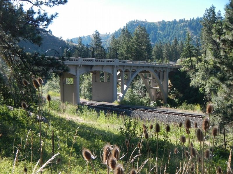
Other nearby markers. At least 8 other markers are within 8 miles of this marker, measured as the crow flies. Conde B. McCullough and Upper Perry Arch Bridge (about 400 feet away, measured in a direct line); Hilgard Junction Oregon Trail Kiosk (approx. 3.2 miles away); "Wagons East " 1975-1976 (approx. 3.2 miles away); Historic La Grande (approx. 3.3 miles away); The First L.D.S. Church (approx. 4.1 miles away); A Beautiful Rough Road (approx. 7.6 miles away); Parade of Survivors (approx. 7.7 miles away); On This Ridge... (approx. 7.7 miles away). Touch for a list and map of all markers in La Grande.
Credits. This page was last revised on July 21, 2023. It was originally submitted on December 13, 2017, by Barry Swackhamer of Brentwood, California. This page has been viewed 299 times since then and 27 times this year. Photos: 1, 2, 3. submitted on December 13, 2017, by Barry Swackhamer of Brentwood, California.

