McLean Gardens in Northwest Washington in Washington, District of Columbia — The American Northeast (Mid-Atlantic)
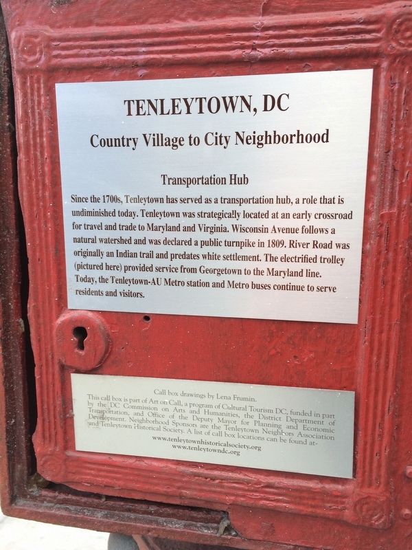
Transportation Hub
Tenleytown, DC
— Country Village to City Neighborhood —
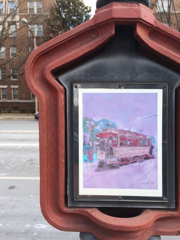
Since the 1700s, Tenleytown has served as a transportation hub, a role that is undiminished today. Tenleytown was strategically located at an early crossroad for travel and trade to Maryland and Virginia. Wisconsin Avenue follows a natural watershed and was declared a public turnpike in 1809. River Road was originally an Indian trail and predates white settlement. The electrified trolley (pictured here) provided service from Georgetown to the Maryland line. Today, the Tenleytown-AU Metro station and Metro buses continue to serve residents and visitors.
Erected by Cultural Tourism DC.
Topics and series. This historical marker is listed in these topic lists: Native Americans • Railroads & Streetcars. In addition, it is included in the DC, Art on Call series list. A significant historical year for this entry is 1809.
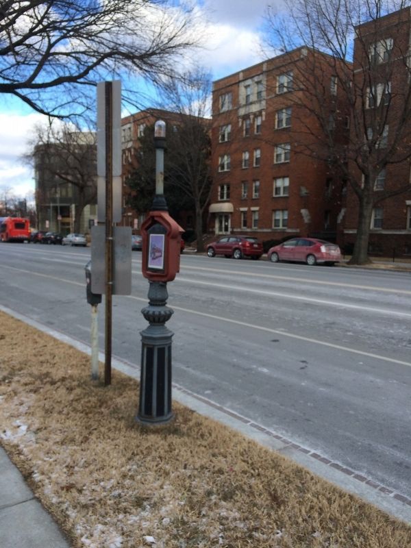
Location. 38° 56.539′ N, 77° 4.603′ W. Marker is in Northwest Washington in Washington, District of Columbia. It is in McLean Gardens. Marker is at the intersection of Wisconsin Avenue Northwest and Upton Street Northwest, on the left when traveling north on Wisconsin Avenue Northwest. Touch for map. Marker is at or near this postal address: 4111 Wisconsin Avenue Northwest, Washington DC 20016, United States of America. Touch for directions.
Other nearby markers. At least 8 other markers are within walking distance of this marker. Community Building Blocks (approx. 0.2 miles away); Early Homes (approx. 0.2 miles away); Veterans and 9/11 Memorial (approx. 0.2 miles away); World War I Memorial (approx. ¼ mile away); World War II Memorial (approx. ¼ mile away); a different marker also named World War I Memorial (approx. ¼ mile away); The National Presbyterian Church (approx. ¼ mile away); The Highlands (approx. ¼ mile away). Touch for a list and map of all markers in Northwest Washington.
Credits. This page was last revised on January 30, 2023. It was originally submitted on January 1, 2018, by Devry Becker Jones of Washington, District of Columbia. This page has been viewed 186 times since then and 7 times this year. Photos: 1, 2, 3. submitted on January 1, 2018, by Devry Becker Jones of Washington, District of Columbia. • Bill Pfingsten was the editor who published this page.
Editor’s want-list for this marker. A better photo of the artwork on the marker. • Can you help?


