Downtown Austin in Travis County, Texas — The American South (West South Central)
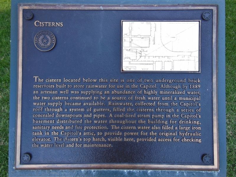
Cisterns
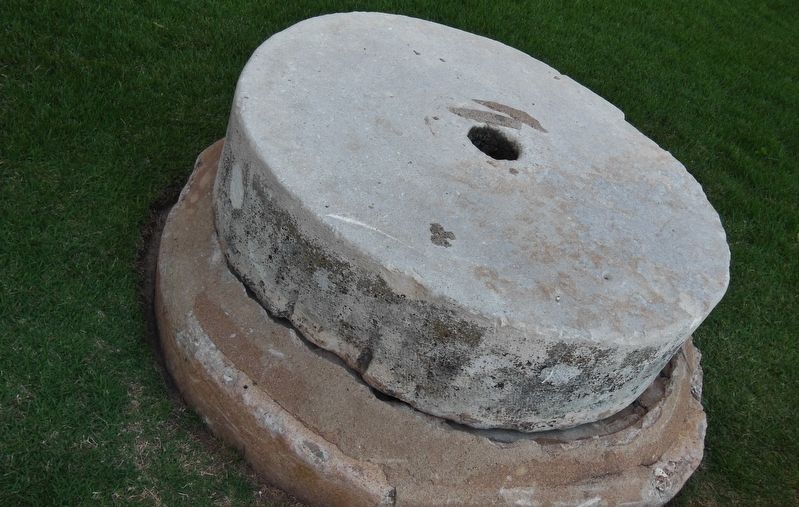
The cistern located below this site is one of two underground brick reservoirs built to store rainwater for use in the Capitol. Although by 1889 an artesian well was supplying an abundance of highly mineralized water, the two cisterns continued to be a source of fresh water until a municipal water supply became available. Rainwater, collected from the Capitol's roof through a system of gutters, filled the cisterns through a series of concealed downspouts and pipes. A coal-fired steam pump in the Capitol's basement distributed the water throughout the building for drinking, sanitary needs and fire protection. The cistern water also filled a large iron tank in the Capitol's attic, to provide power for the original hydraulic elevator. The cistern's top hatch, visible here, provided access for checking the water level and maintenance.
Erected by State of Texas.
Topics. This historical marker is listed in this topic list: Man-Made Features.
Location. 30° 16.466′ N, 97° 44.41′ W. Marker is in Austin, Texas, in Travis County. It is in Downtown Austin. Marker can be reached from 12th Street West west of East 12th Street, on the right when traveling west. The marker is located near the main (South) entrance to the Texas State Capitol. Touch for map. Marker is at or near this postal address: 1100 Congress Avenue, Austin TX 78701, United States of America. Touch for directions.
Other nearby markers. At least 8 other markers are within walking distance of this marker. Artesian Well and East Drinking Fountain (within shouting distance of this marker); Monuments of the Great Walk (within shouting distance of this marker); The Great Walk (within shouting distance of this marker); Heroes of the Alamo (within shouting distance of this marker); West Drinking Fountain (about 300 feet away, measured in a direct line); Hood’s Texas Brigade Monument (about 300 feet away); Terry’s Texas Rangers Monument (about 300 feet away); Terry Rangers Monument (about 300 feet away). Touch for a list and map of all markers in Austin.
Also see . . . The Texas Capitol Grounds: A Self-Guided Tour.
(includes description of various monuments, memorials and landmarks around the Texas State Capitol grounds) (Submitted on January 2, 2018, by Cosmos Mariner of Cape Canaveral, Florida.)
Credits. This page was last revised on February 1, 2023. It was originally submitted on January 2, 2018, by Cosmos Mariner of Cape Canaveral, Florida. This page has been viewed 433 times since then and 31 times this year. Photos: 1, 2. submitted on January 2, 2018, by Cosmos Mariner of Cape Canaveral, Florida. • Bernard Fisher was the editor who published this page.

