Near Locust Grove in Spotsylvania County, Virginia — The American South (Mid-Atlantic)
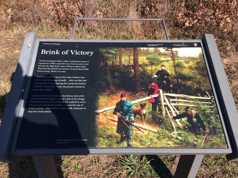
Brink of Victory
The Battle of the Wilderness
"I am ashamed to say it, but I don't think I ever saw troops behaving so badly...they ran like deer through the woods, leaving the enemy far behind. And the further they went. the grater seemed to grow their fright."
Union troops soon broke into the field as well, while more pushed through the woods south of the Orange Plank Road (Route 621). Though few realized it, only a thin line of Confederate artillery stood in the way of Union victory. That artillery roared to life, desperate to stop the Union attack.
(caption)
Union skirmishers of the Sixth Corps by Julian Scott
Erected by Fredericksburg & Spotsylvania National Military Park.
Topics. This historical marker is listed in this topic list: War, US Civil. A significant historical date for this entry is May 6, 1864.
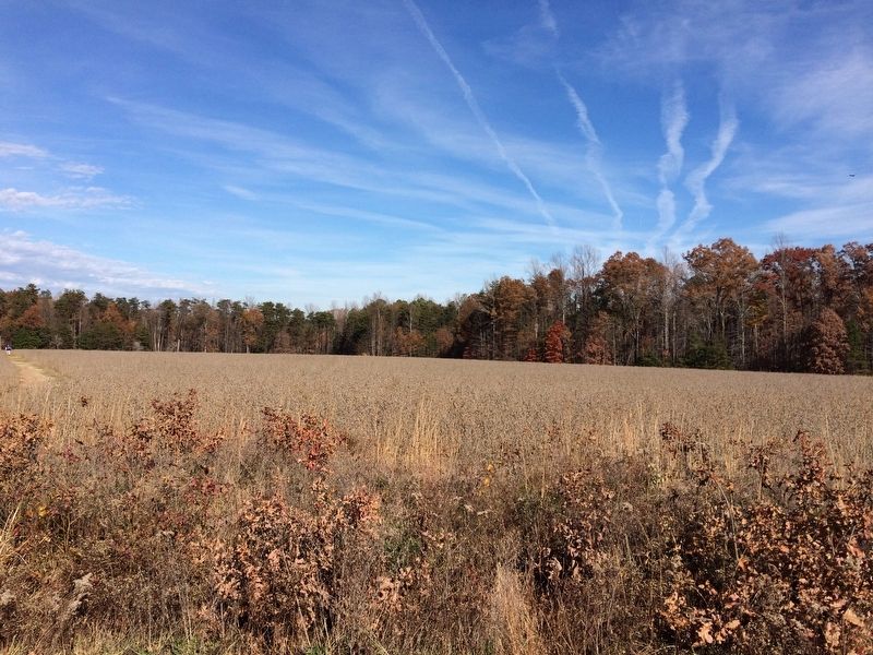
Location. 38° 17.525′ N, 77° 43.478′ W. Marker is near Locust Grove, Virginia, in Spotsylvania County. Marker can be reached from Orange Plank Road (County Route 621) half a mile west of Hill-Ewell Drive, on the right when traveling west. Marker is located along the ˝-mile Tapp Field Walking Trail - located at Stop 6 of the Wilderness Battlefield Auto Tour Route. Touch for map. Marker is in this post office area: Locust Grove VA 22508, United States of America. Touch for directions.
Other nearby markers. At least 8 other markers are within walking distance of this marker. Lee to the Rear! (about 400 feet away, measured in a direct line); The Home of Widow Tapp (about 500 feet away); The Widow Tapp House (about 500 feet away); Texas (about 500 feet away); Lee to the rear! (about 600 feet away); In The Nick of Time (approx. 0.2 miles away); Lee-to-the-Rear (approx. 0.2 miles away); In the Nick of Time (approx. 0.2 miles away). Touch for a list and map of all markers in Locust Grove.
More about this marker. This marker replaced an older marker at this location titled, "Confederate Earthworks"
Also see . . . Fredericksburg & Spotsylvania National Military Park. National Park Service (Submitted on January 8, 2018.)
Credits. This page was last revised on July 9, 2021. It was originally submitted on January 5, 2018, by Shane Oliver of Richmond, Virginia. This page has been viewed 278 times since then and 16 times this year. Last updated on January 8, 2018, by Shane Oliver of Richmond, Virginia. Photos: 1, 2. submitted on January 5, 2018, by Shane Oliver of Richmond, Virginia. • Bill Pfingsten was the editor who published this page.

