Tygh Valley in Wasco County, Oregon — The American West (Northwest)
Tygh Valley
The Oregon Trail
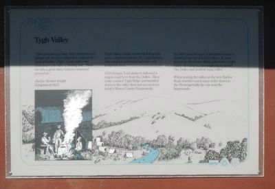
Tygh Valley's name is inherited from this area's original residents, the Tygh Indians, who camped and traded with the early emigrants here.
1845 Oregon Trail pioneers followed a wagon road here from the Dalles. Their route crossed Tygh Ridge and tumbled down to the valley floor just across from today's Wasco County Fairgrounds.
By 1850, some Oregon Trail travelers used a shortcut from the John Day River. It came across the Deschutes River and west to Tygh Valley. In doing so, the emigrants bypassed The Dalles and avoided many miles.
When leaving the valley on the new Barlow Road, travelers used many of the draws to the West especially the one near the fairground.
Topics. This historical marker is listed in these topic lists: Roads & Vehicles • Settlements & Settlers.
Location. 45° 14.43′ N, 121° 11.214′ W. Marker is in Tygh Valley, Oregon, in Wasco County. Marker is on Wamic Market Road near St. Charles Avenue, on the right when traveling west. Touch for map. Marker is in this post office area: Tygh Valley OR 97063, United States of America. Touch for directions.
Other nearby markers. At least 1 other marker is within 8 miles of this marker, measured as the crow flies. Sherar's Bridge Area (approx. 7.4 miles away).
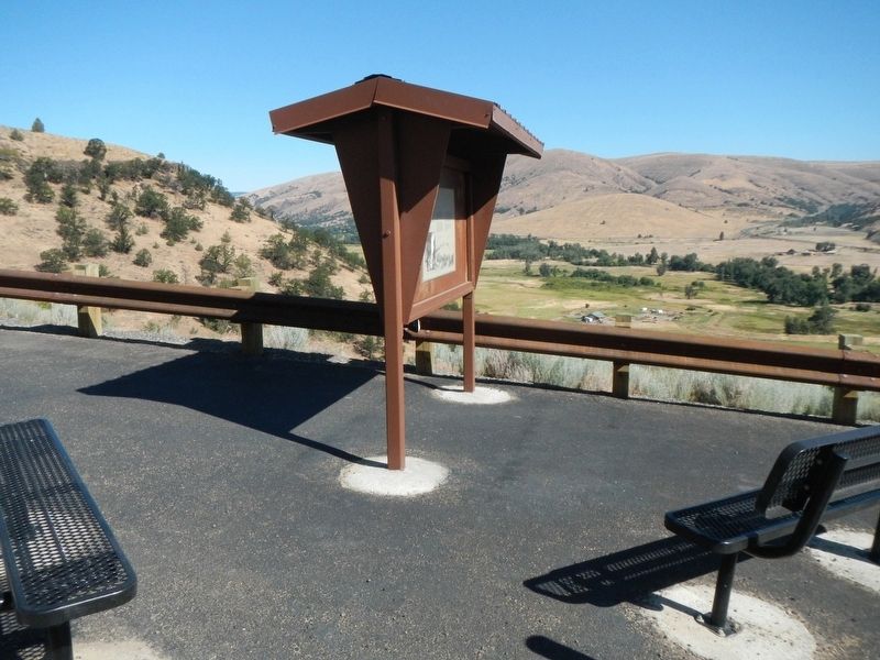
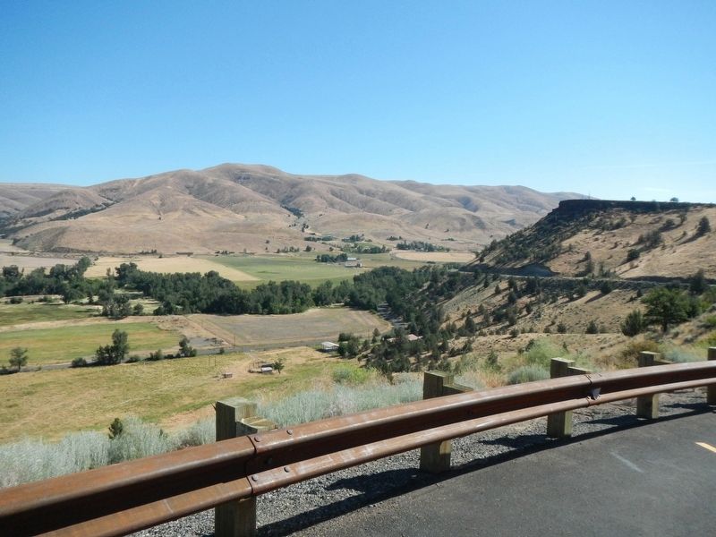
More about this marker. The marker is at a turnout overlooking Tygh Valley about 1/2 mile west of town.
Credits. This page was last revised on January 11, 2018. It was originally submitted on January 11, 2018, by Barry Swackhamer of Brentwood, California. This page has been viewed 731 times since then and 44 times this year. Photos: 1, 2, 3. submitted on January 11, 2018, by Barry Swackhamer of Brentwood, California.


