Mineral de Pozos in San Luis de la Paz, Guanajuato, Mexico — The Central Highlands (North America)
Mine and Former Hacienda of Los Cinco Señores
Mineral de Pozos
Inscription.
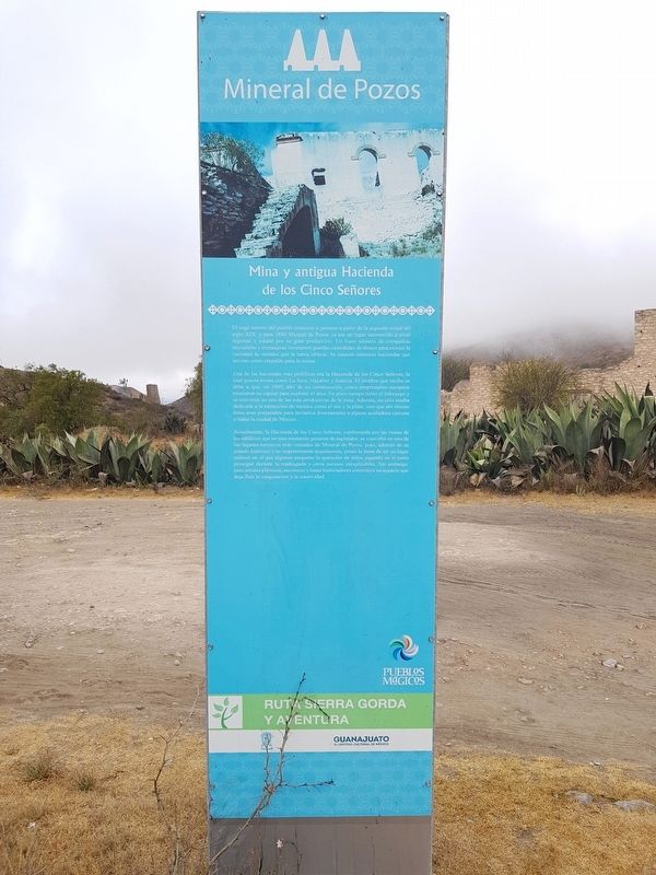
Una de las haciendas más prolíficas era la Hacienda de los Cinco Señores, la cual poseía minas como La Joya, Nayalito y Justicia. El nombre que recibe se debe a que, en 1889, año de su construcción, cinco empresarios europeos reunieron su capital para explotar el área. En poco tiempo tomó el liderazgo y se convirtió en una de las más productivas de la zona. Además, no sólo estaba dedicada a la extracción de metales como el oro y la plata, sino que ahí mismo éstos eran preparados para enviarlos directamente a alguna acuñadora cercana o hasta la ciudad de México.
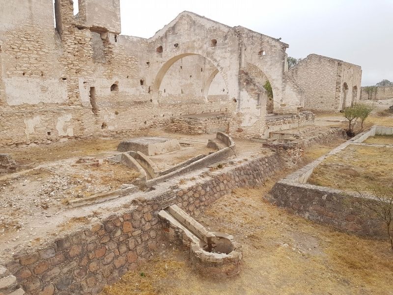
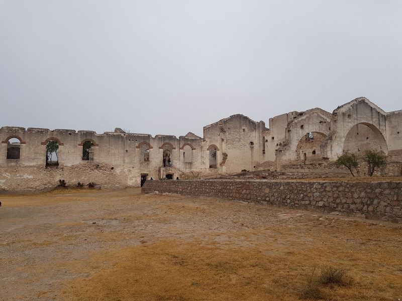
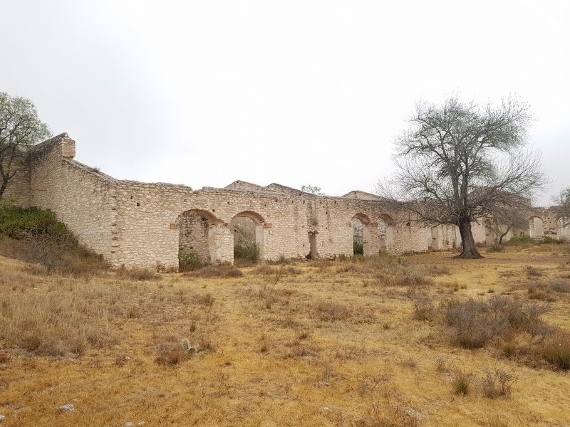
Actualmente, la Hacienda de los Cinco Señores, conformada por las ruinas de los edificios que en otro momento gozaron de esplendor, se convirtió en uno de los lugares turísticos más visitados de Mineral de Pozos, pues, además de su pasado histórico y su impresionante arquitectura, posee la fama de ser un lugar místico en el que algunos aseguran la aparición de niños jugando en el patio principal durante la madrugada y otros sucesos inexplicables. Sin embargo, para artistas plásticos, escritores y hasta historiadores constituye un espacio que deja fluir la imaginación y la creatividad.
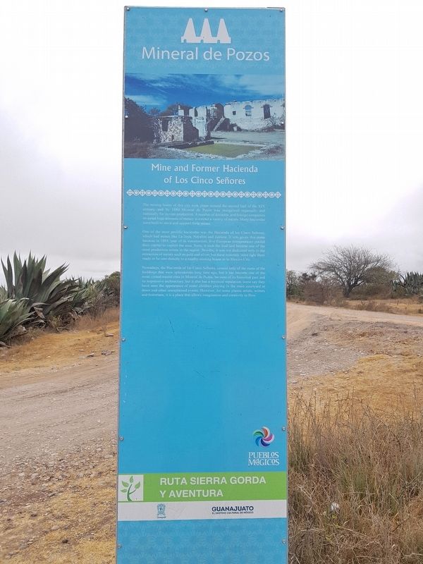
One of the most prolific haciendas was the Hacienda of los Cinco Señores, which had mines like La Joya, Nayalito and Justicia. It was given this name because in 1889, year of its construction, five European entrepreneurs pooled their capital to exploit the area. Soon, it took the lead and became one of the most productive mines in the region. Besides, it was not dedicated only to the extraction of metals such as gold and
silver, but these minerals were right there ready to be sent directly to a nearby minting house or to Mexico City.
Nowadays, the Hacienda of los Cinco Señores, consist only of the ruins of the buildings that were splenderous long time ago, but it has become one of the most visited tourist sites in Mineral de Pozos, because of its historical past and its impressive architecture, but also has a mystical reputation, some say they have seen the appearance of some children playing in the main courtyard at dawn and other unexplained events. However, for some plastic artists, writers and historians, it is a place that allows imagination and creativity to flow.
Topics. This historical marker is listed in these topic lists: Industry & Commerce • Man-Made Features. A significant historical year for this entry is 1880.
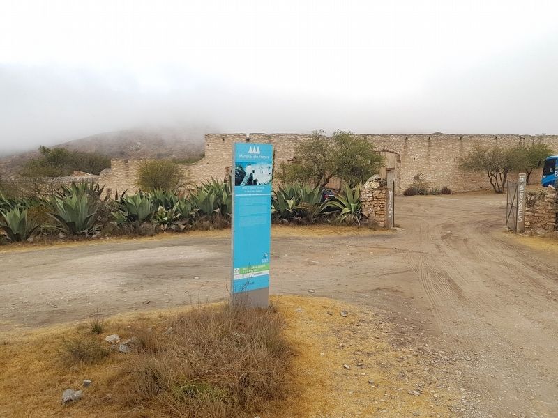
Location. 21° 13.644′ N, 100° 30.984′ W. Marker is in Mineral de Pozos, Guanajuato, in San Luis de la Paz. Marker is on Unnamed road, on the left when traveling east. The marker is on the road that comes into Mineral de Pozos towards the east from Highway 57. The road contains other notable former mines and haciendas. Touch for map. Marker is in this post office area: Mineral de Pozos GTO 37600, Mexico. Touch for directions.
Other nearby markers. At least 8 other markers are within 3 kilometers of this marker, measured as the crow flies. Hacienda Baldomero (a few steps from this marker); Angustias Mine (approx. 0.4 kilometers away); Ex-Hacienda El Triángulo
(approx. 0.7 kilometers away); The Model School (approx. 1.6 kilometers away); Aqueduct (approx. 1.7 kilometers away); J. Encarnación Olguín and Juana Lucio (approx. 2.2 kilometers away); Old City Hall (approx. 2.2 kilometers away); City Cemetery (approx. 2.6 kilometers away). Touch for a list and map of all markers in Mineral de Pozos.
Credits. This page was last revised on February 6, 2018. It was originally submitted on February 6, 2018, by J. Makali Bruton of Accra, Ghana. This page has been viewed 625 times since then and 103 times this year. Photos: 1, 2, 3, 4, 5, 6. submitted on February 6, 2018, by J. Makali Bruton of Accra, Ghana.
