Hudson Bay in Vancouver in Clark County, Washington — The American West (Northwest)
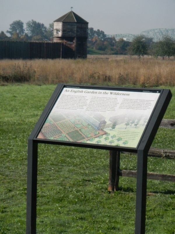
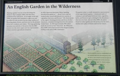
An English Garden in the Wilderness
Photographed By Barry Swackhamer, September 24, 2017
1. An English Garden in the Wilderness Marker
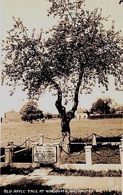
Caption: (lower right) The fort's original orchard was characterized by full size, ingrafted apple trees with wide spacing. Today, this style of "farm orchard" had been recreated with seedlings of old English cider varieties and clones of Vancouver's Old Apple Tree. Modern renditions, courtesy of the National Park Service.
In 1836, American missionary Henry Spalding described the garden as "...about 5 acres laid out in good order, stored with almost every species of vegetables, fruits trees, and flowers." His observations of the region's farming potential, and those of other Americans, stimulated immigration from the eastern United States. In 1843 approximately 900 settlers made the journey to Fort Vancouver. By 1846 more than 8,000 settlers had arrived in the Oregon Country, leading to the end of HBC dominance.
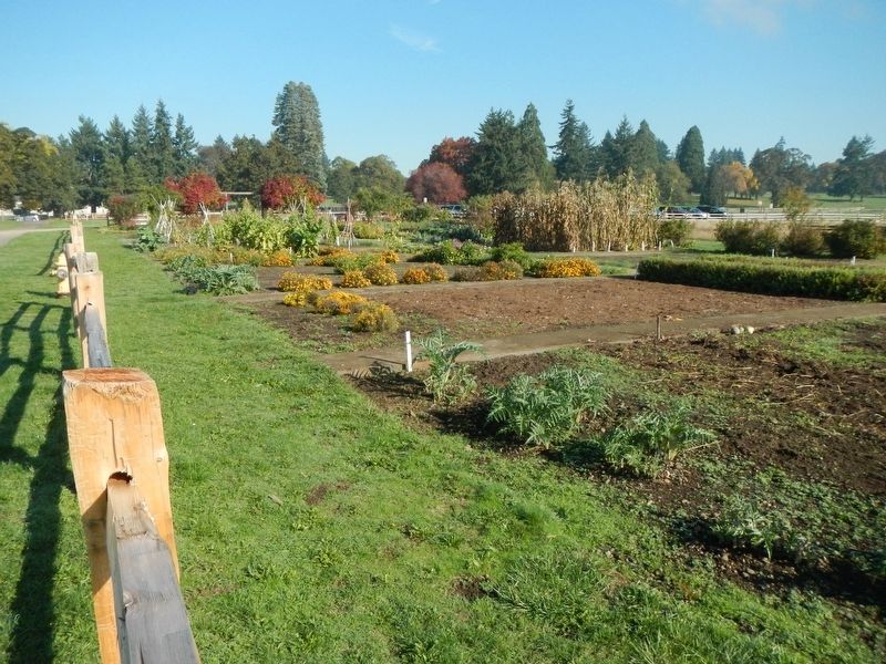
The garden today is a small, interpretive representation of the larger historic garden. A dedicated cadre of volunteers and staff plant heirloom fruits and vegetable, herbs, and flowers to give a feeling of the abundance that was once here. Just as in the 1840s, the plants in today's garden provide produce for the fort's kitchen and a place of beauty and rest for visitors.
Erected by National Park Service.
Topics. This historical marker is listed in this topic list: Agriculture.
Location. 45° 37.434′ N, 122° 39.726′ W. Marker is in Vancouver, Washington, in Clark County. It is in Hudson Bay. Marker is on East 5th Street near Fort Vancouver Way, on the left when traveling west. Touch for map. Marker is at or near this postal address: 1001 East 5th Street, Vancouver WA 98661, United States of America. Touch for directions.
Other nearby markers. At least 8 other markers are within walking distance of this marker. Welcome to Fort Vancouver (within shouting distance of this marker); The Vancouver Farm (within shouting distance of this marker); St. James Mission (approx. 0.2 miles away); The 321st Observation Squadron (1923-1941) (approx. ¼ mile away); Howard C. French / Alexander Pearson (approx. ¼ mile away); The Sutler's Store (approx. ¼ mile away); Clark County Veterans Memorial (approx. ¼ mile away); The Chkalov Transpolar Flight (approx. ¼ mile away). Touch for a list and map of all markers in Vancouver.
Credits. This page was last revised on February 7, 2023. It was originally submitted on February 10, 2018, by Barry Swackhamer of Brentwood, California. This page has been viewed 215 times since then and 12 times this year. Photos: 1, 2, 3, 4, 5. submitted on February 10, 2018, by Barry Swackhamer of Brentwood, California.
