Crown Point in Essex County, New York — The American Northeast (Mid-Atlantic)
Fort St. Frédéric
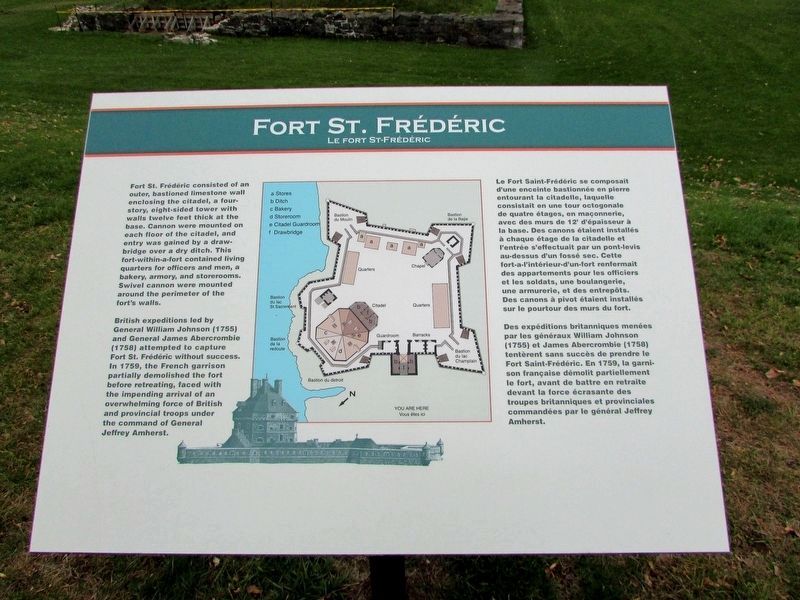
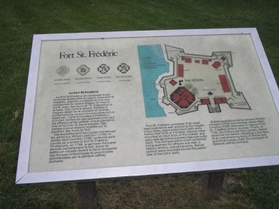
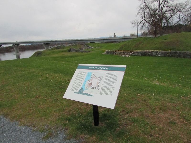
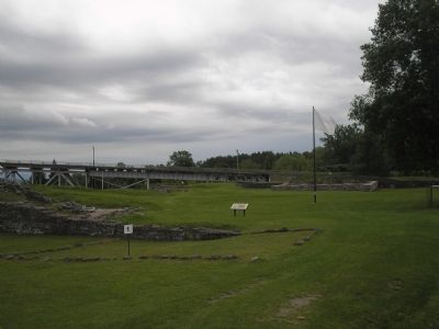
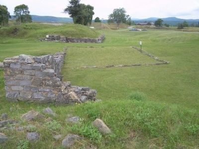
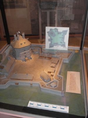
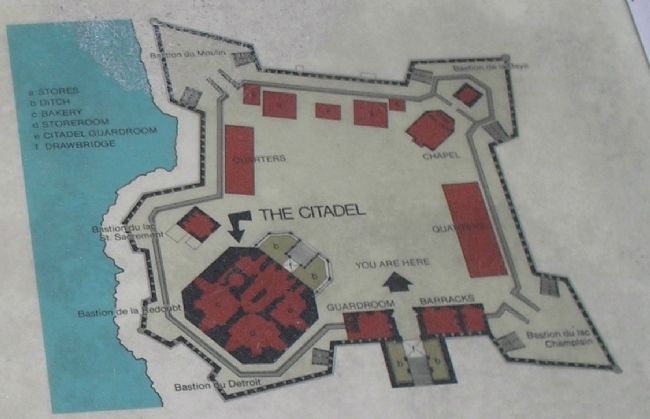
Fort St. Frédéric consisted of an outer, bastioned limestone wall enclosing the Citadel, a four-story, eight-sided tower with walls twelve feet thick at the base. Cannon were mounted on each floor of the Citadel, and entry was gained by a drawbridge over a dry ditch. This fortress-within-a-fort contained living quarters for officers and men, a bakery, armory, and storerooms. Swivel cannon were mounted around the perimeter of the fort’s walls.
British expeditions led by General William Johnson (1755) and General James Abercrombie (1758) attempted to capture Fort St. Frédéric without success. Finally, in 1759, the French garrison partially demolished the fort before retreating in the face of an overwhelming force of British and provincial troops under the command of General Jeffrey Amherst.
Erected by Crown Point State Historic Site.
Topics. This historical marker is listed in these topic lists: Forts and Castles • War, French and Indian. A significant historical year for this entry is 1759.
Location. 44° 1.832′ N, 73° 25.621′ W. Marker is in Crown Point, New York, in Essex County. Marker can be reached from Grandview Drive, on the right when traveling west. Marker is in Crown Point State Historic Site, along the walking trail. Touch for map. Marker is in this post office area: Crown Point NY 12928, United States of America. Touch for directions.
Other nearby markers. At least 8 other markers are within walking distance of this marker. The 1929 Lake Champlain Bridge (within shouting distance of this marker); The White Flag (within shouting distance of this marker); The French at Crown Point (within shouting distance of this marker); Crown Point: Military Focus (about 300 feet away, measured in a direct line); Crown Point (about 300 feet away); Welcome To Crown Point State Historic Site (about 300 feet away); Selecting a Bridge Location (about 300 feet away); Gen. Henry Knox Trail (about 300 feet away). Touch for a list and map of all markers in Crown Point.
More about this marker. A diagram of the fort and Citadel is on the upper right of the marker. The upper left of the marker contains layouts of the four stories of the Citadel. Under this is a French language version of the marker text.
Also see . . .
1. Crown Point State Historic Site. New York State Parks, Recreation and Historic Preservation website entry (Submitted on September 13, 2008, by Bill Coughlin of Woodland Park, New Jersey.)
2. Fort Crown Point. Wikipedia entry (Submitted on May 1, 2021, by Larry Gertner of New York, New York.)
3. Fort Crown Point - National Park Service. Download National Register of Historic Places documentation (Submitted on February 5, 2024, by Anton Schwarzmueller of Wilson, New York.)
Credits. This page was last revised on February 5, 2024. It was originally submitted on September 13, 2008, by Bill Coughlin of Woodland Park, New Jersey. This page has been viewed 3,779 times since then and 58 times this year. Photos: 1. submitted on November 16, 2018, by Bill Coughlin of Woodland Park, New Jersey. 2. submitted on September 13, 2008, by Bill Coughlin of Woodland Park, New Jersey. 3. submitted on November 16, 2018, by Bill Coughlin of Woodland Park, New Jersey. 4, 5, 6, 7, 8, 9. submitted on September 13, 2008, by Bill Coughlin of Woodland Park, New Jersey.
