Coos Bay in Coos County, Oregon — The American West (Northwest)
The Changing Waterfront
(center panel)
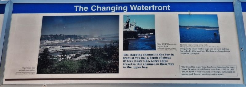
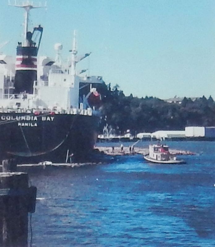
The shipping channel in the bay in front of you has a depth of about 35 feet at low tide. Large ships travel in this channel on their way to the upper bay.
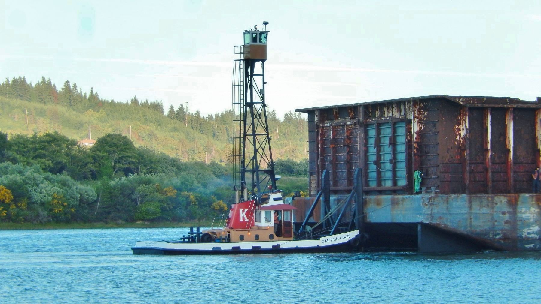
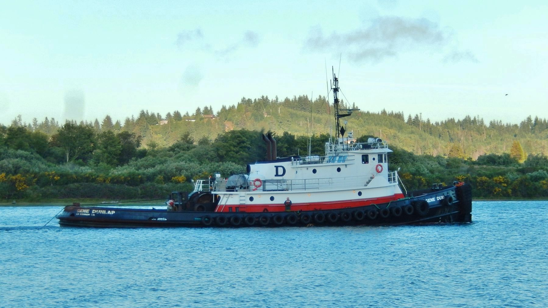
Frequently small harbor tugs can be seen pulling log rafts by this pavilion. The logs are loaded onto ships for transport.
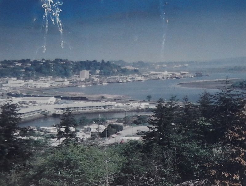
The Coos Bay waterfront has been changing for many years. It looks very different now than it did in 1850 and in 1950. It will continue to change, influenced by people and the surrounding environment.
Topics. This historical marker is listed in these topic lists: Industry & Commerce • Notable Places • Waterways & Vessels.
Location. 43° 22.048′ N, 124° 12.727′ W. Marker is in Coos Bay, Oregon, in Coos County. Marker is on Oregon Coast Highway (U.S. 101) north of Anderson Avenue, on the right when traveling north. Marker is located in an interpretive kiosk along the Coos Bay Board Walk. This marker is the center panel of a set of three related markers. Touch for map. Marker is in this post office area: Coos Bay OR 97420, United States of America. Touch for directions.
Other nearby markers. At least 8 other markers are within walking distance of this marker. A different marker also named The Changing Waterfront (here, next to this marker); a different marker also named The Changing Waterfront (here, next to this marker); Transportation (here, next to this marker); a different marker also named Transportation (here, next to this marker); a different marker also named Transportation (here, next to this marker); Welcome to the Oregon Coast (within shouting distance of this marker); Shipping (within shouting distance of this marker); Koos No. 2 (within shouting distance of this marker). Touch for a list and map of all markers in Coos Bay.
Related markers. Click here for a list of markers that are related to this marker. Coos Bay Waterfront History
Also see . . . Port of Coos Bay History.
Both sailing vessels and steamboats engaged in the early coastal shipping traffic which called at Coos Bay. The steamers carried passengers and freight, and sometimes bulk cargoes, while sailing ships carried mostly bulk cargoes of lumber and coal. As a rule, the bulk cargo carriers were laden with paying cargo only on the outbound leg of their journey. There was practically no incoming bulk cargo into Coos Bay, and as a consequence, the ships brought in quantities of stone as ballast. (Submitted on February 17, 2018, by Cosmos Mariner of Cape Canaveral, Florida.)
Credits. This page was last revised on November 5, 2020. It was originally submitted on February 17, 2018, by Cosmos Mariner of Cape Canaveral, Florida. This page has been viewed 204 times since then and 13 times this year. Photos: 1, 2, 3, 4. submitted on February 17, 2018, by Cosmos Mariner of Cape Canaveral, Florida. 5, 6. submitted on February 19, 2018, by Cosmos Mariner of Cape Canaveral, Florida. • Bill Pfingsten was the editor who published this page.
