Near Fredericksburg in Spotsylvania County, Virginia — The American South (Mid-Atlantic)
First Day at Chancellorsville
Difficult Country
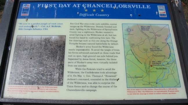
- Col. A. J. McBride, 10th Georgia Infantry, CSA
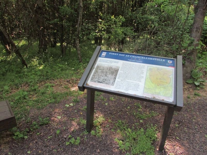
Few Civil War sites evoke such indelible, mental images as the Wilderness. Densely forested and dark, fighting in the Wilderness of Spotsylvania County was a nightmare. Hooker wanted to avoid fighting in the Wilderness at all, but Lee forced his hand by confronting him here. The few clearings such as this one along the Orange Turnpike became natural battlefields by default.
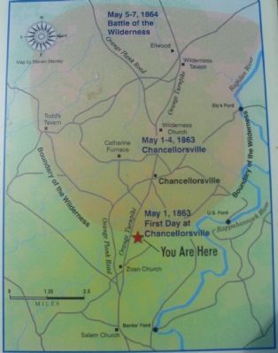
Hooker's army found the Wilderness nearly impenetrable. To avoid the tangle of trees, his forces advanced eastward on three roads that met on open, high ground one mile behind you. Separated by dense forest, however, the three parts of Hooker's army were virtually isolated from one another.
While the Federals tried to avoid the Wilderness, the Confederates took advantage of it. On May 1, Gen. Thomas J. "Stonewall" Jackson's command, concealed in the thickets of the Wilderness, was able to surprise the Union forces and to change the course of the Chancellorsville campaign.
Erected 2008 by Virginia Civil War Trails.
Topics and series. This historical marker is listed in this topic list: War, US Civil. In addition, it is included in the Virginia Civil War Trails series list. A significant historical month for this entry is May 1862.
Location. 38° 17.827′ N, 77° 35.565′ W. Marker is near Fredericksburg, Virginia, in Spotsylvania County. Marker can be reached from Plank Road / Germanna Highway (State Highway 3), on the right when traveling west. Located along the Civil War Preservation Trust's walking trail through the First Day at Chancellorsville Battlefield. Touch for map. Marker is at or near this postal address: 7422 Lees Command Blvd, Fredericksburg VA 22407, United States of America. Touch for directions.
Other nearby markers. At least 8 other markers are within walking distance of this marker. A different marker also named First Day at Chancellorsville (about 600 feet away, measured in a direct line); 11th United States Infantry (approx. 0.2 miles away); a different marker also named First Day at Chancellorsville (approx. 0.2 miles away); a different marker also named First Day at Chancellorsville (approx. 0.2 miles away); a different marker also named The First Day at Chancellorsville (approx. 0.2 miles away); Chancellorsville Campaign (approx. 0.2 miles away); a different marker also named Chancellorsville Campaign (approx. 0.2 miles away); a different marker also named First Day at Chancellorsville (approx. ¼ mile away). Touch for a list and map of all markers in Fredericksburg.
More about this marker.
A map of the Wilderness area on the right is captioned: Site of two major Civil War battles - Chancellorsville in 1863 and the Wilderness in 1864 - the Wilderness was approximately 70 square miles in size with few clearings in which to conduct military operaitons.
Photographed By Craig Swain, August 24, 2008
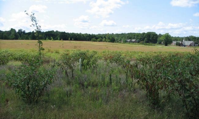
6. Battlefield of Yesterday as a Vineyard Today
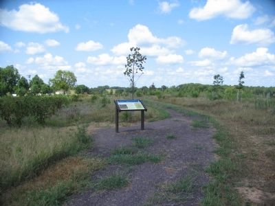
Some of the First Day Battlefield is planted as a vineyard. This view looks from the marker location to the south, with the Orange Turnpike (modern Germanna Highway) running across the background. The site of the Lewis farm is roughly in the center distance, just north of the highway. At the time of the battle, much of the area within the vineyard was forest.
Credits. This page was last revised on April 25, 2023. It was originally submitted on September 13, 2008. This page has been viewed 1,413 times since then and 16 times this year. Last updated on October 29, 2020, by Bradley Owen of Morgantown, West Virginia. Photos: 1. submitted on September 13, 2008, by Craig Swain of Leesburg, Virginia. 2. submitted on March 13, 2009, by Craig Swain of Leesburg, Virginia. 3, 4. submitted on September 13, 2008, by Craig Swain of Leesburg, Virginia. 5. submitted on April 22, 2023, by Bill Coughlin of Woodland Park, New Jersey. 6. submitted on September 13, 2008, by Craig Swain of Leesburg, Virginia. • J. Makali Bruton was the editor who published this page.
