University District in Columbus in Franklin County, Ohio — The American Midwest (Great Lakes)
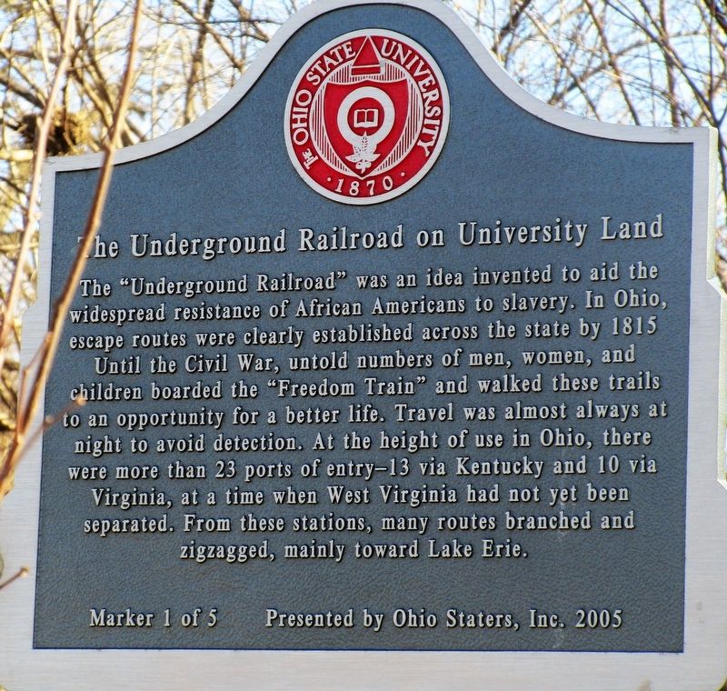
The Underground Railroad on University Land
1 of 5
Inscription.
The Underground Railroad was an idea invented to aid the
widespread resistance of African Americans to slavery. In Ohio
escape routes were clearly established across the state by 1815
Until the Civil War, untold numbers of men, women, and
children boarded the “Freedom Train” and walked these trails
to an opportunity for a better life. Travel was almost always at
night to avoid detection. At the height of use in Ohio, there
were more than 23 ports of entry- 13 via Kentucky and 10 via
Virginia, at a time when West Virginia had not yet been
separated . From these stations, many routes branched and
zigzagged, mainly towards Lake Erie.
Erected 2005 by Ohio Staters, Inc. (Marker Number 1 of 5.)
Topics. This historical marker is listed in these topic lists: Abolition & Underground RR • African Americans.
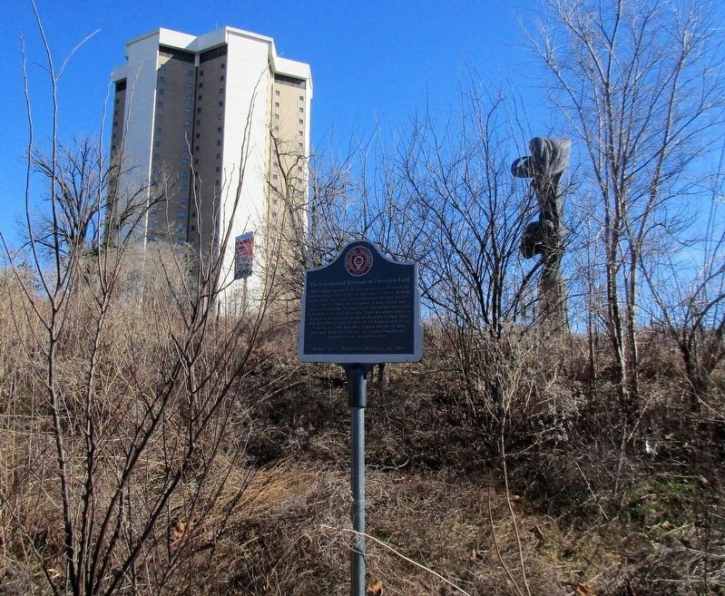
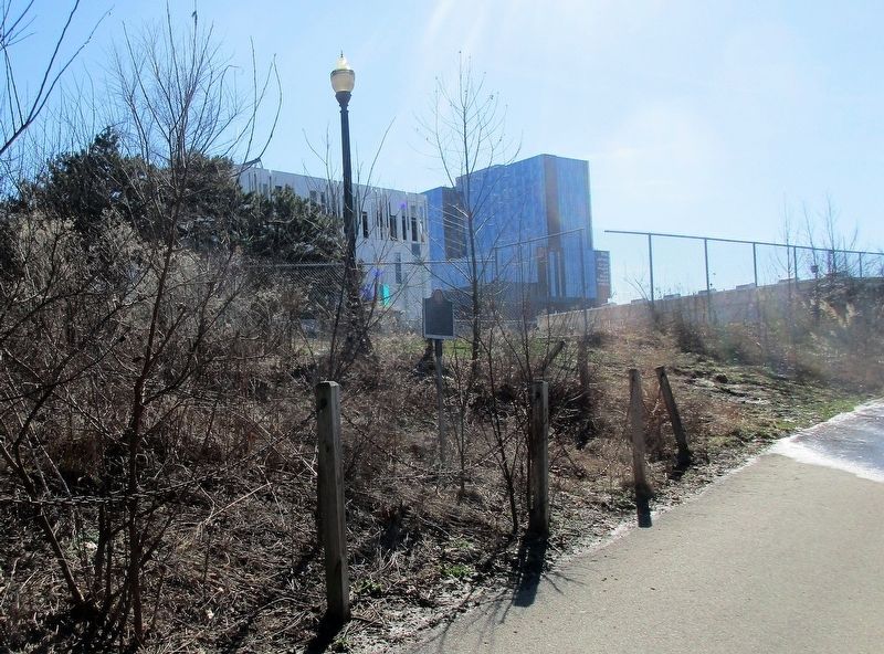
Location. 39° 59.848′ N, 83° 1.385′ W. Marker is in Columbus, Ohio, in Franklin County. It is in the University District. Marker can be reached from Cannon Drive near John H. Herrick Dr. marker is on the Olentangy Trail Bikepath at the southwest of the corner of Cannon Drive at John H. Herrick Dr. Touch for map. Marker is at or near this postal address: Olentangy Trail, Columbus OH 43210, United States of America. Touch for directions.
Other nearby markers. At least 8 other markers are within walking distance of this marker. A different marker also named The Underground Railroad on University Land (approx. ¼ mile away); Stadium Scholarship Dormitory (approx. 0.3 miles away); Zero Waste (approx. 0.3 miles away); Ohio Farm Bureau Founded (approx. 0.4 miles away); Ohio Stadium Centennial (approx. 0.4 miles away); for Strength, for OHIO." (approx. 0.4 miles away); NECKO Neighborhood / E. J. McMillen Homestead Addition (approx. 0.4 miles away); for Courage, for Grandeur,… (approx. 0.4 miles away). Touch for a list and map of all markers in Columbus.
Additional keywords. Underground Railroad
Credits. This page was last revised on February 3, 2023. It was originally submitted on February 27, 2018, by Rev. Ronald Irick of West Liberty, Ohio. This page has been viewed 306 times since then and 33 times this year. Photos: 1, 2, 3. submitted on February 27, 2018, by Rev. Ronald Irick of West Liberty, Ohio. • Bill Pfingsten was the editor who published this page.


