Bethel in Fairfield County, Connecticut — The American Northeast (New England)
Bethel
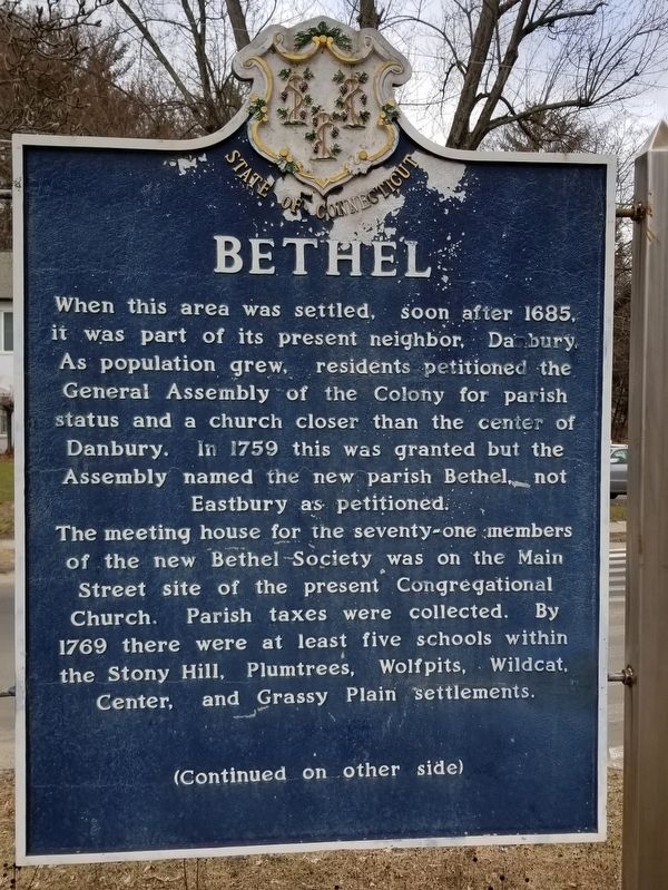
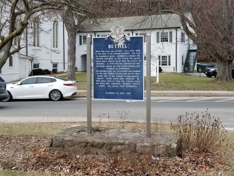
The meeting house for the seventy-one members of the new Bethel Society was on the Main Street site of the present Congregational Church. Parish taxes were collected. By 1769 there were at least five schools within the Stony Hill, Plumtrees, Wolfpits, Wildcat, Center, and Grassy Plain settlements.
( back )
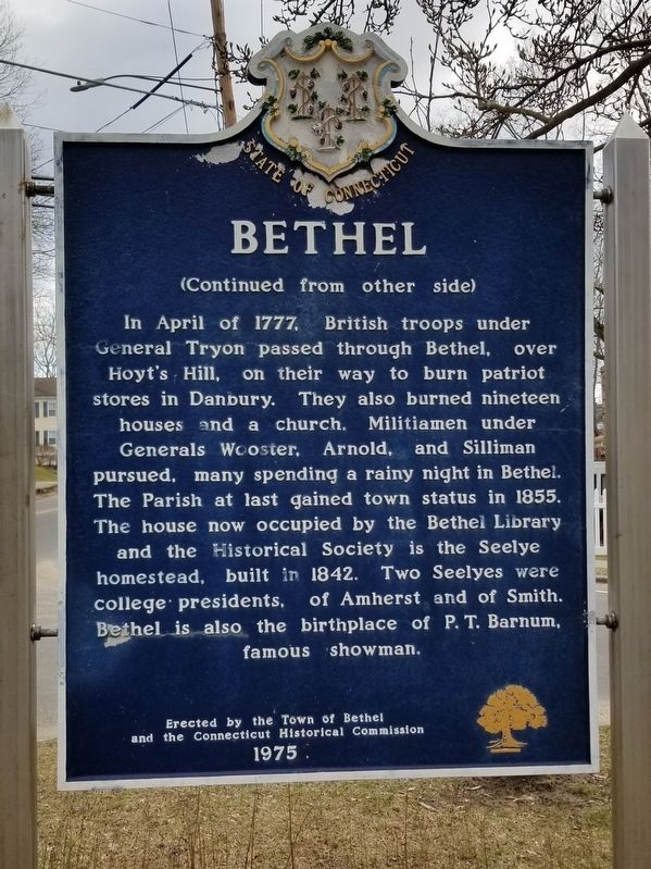
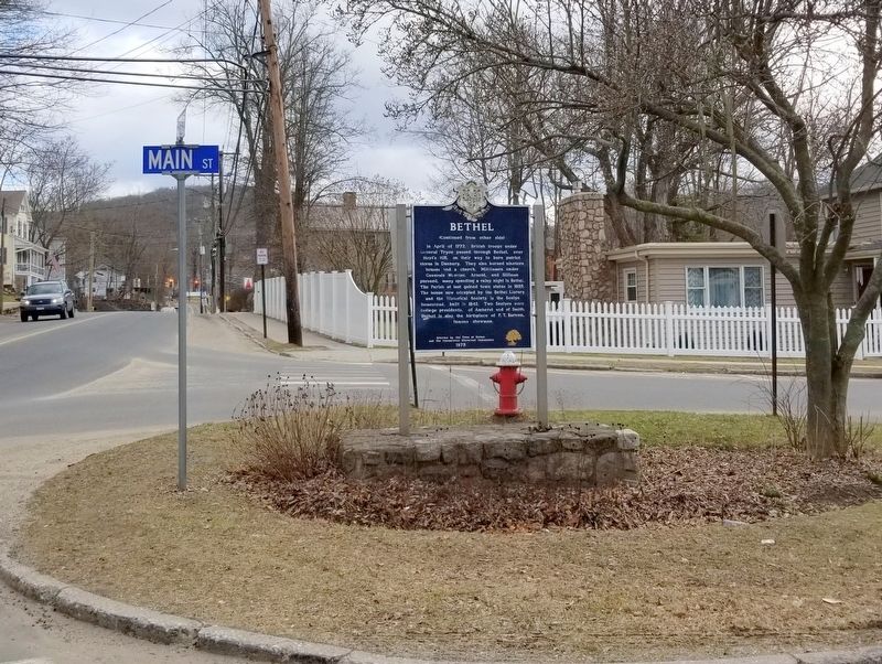
In April of 1777, British troops under General Tryon passed through Bethel, on their way to burn patriot stores in Danbury. They also burned nineteen houses and a church. Militiamen under Generals Wooster, Arnold, and Silliman pursued, many spending a rainy night in Bethel. The Parish at last gained town status in 1855. The house now occupied by the Bethel Library and the Historical Society is the Seelye homestead, built in 1842. Two Seelyes were college presidents, of Amherst an of Smith. Bethel is also the birthplace of P.T. Barnum, famous showman.
And the Connecticut Historical Commission
1975
Erected 1975.
Topics. This historical marker is listed in these topic lists: Colonial Era • Settlements & Settlers.
Location. 41° 22.378′ N, 73° 24.47′ W. Marker is in Bethel, Connecticut, in Fairfield County. Marker is at the intersection of Main Street and Chestnut Street, on the left when traveling east on Main Street. Touch for map. Marker is in this post office area: Bethel CT 06801, United States of America. Touch for directions.
Other nearby markers. At least 8 other markers are within 2 miles of this marker, measured as the crow flies. Bethel World War I Monument (approx. 0.2 miles away); In Memory of All Bethel Veterans (approx. 0.3 miles away); Phineas Taylor (P.T.) Barnum (approx. 0.3 miles away); Bethel Soldier’s Memorial (approx. 0.4 miles away); Bethel Railway Station - 1912 (approx. 0.4 miles away); Plumtrees Honor Roll (approx. 1.4 miles away); Plumtrees School (approx. 1.4 miles away); Danbury World War II Memorial (approx. 1.9 miles away). Touch for a list and map of all markers in Bethel.
Also see . . .
1. Town of Bethel, Connecticut. (Submitted on March 4, 2018, by Michael Herrick of Southbury, Connecticut.)
2. Bethel, Connecticut on Wikipedia. (Submitted on March 4, 2018, by Michael Herrick of Southbury, Connecticut.)
Credits. This page was last revised on February 10, 2023. It was originally submitted on March 4, 2018, by Michael Herrick of Southbury, Connecticut. This page has been viewed 476 times since then and 29 times this year. Photos: 1, 2, 3, 4. submitted on March 4, 2018, by Michael Herrick of Southbury, Connecticut.


