Westboro in Ottawa, Ontario — Central Canada (North America)
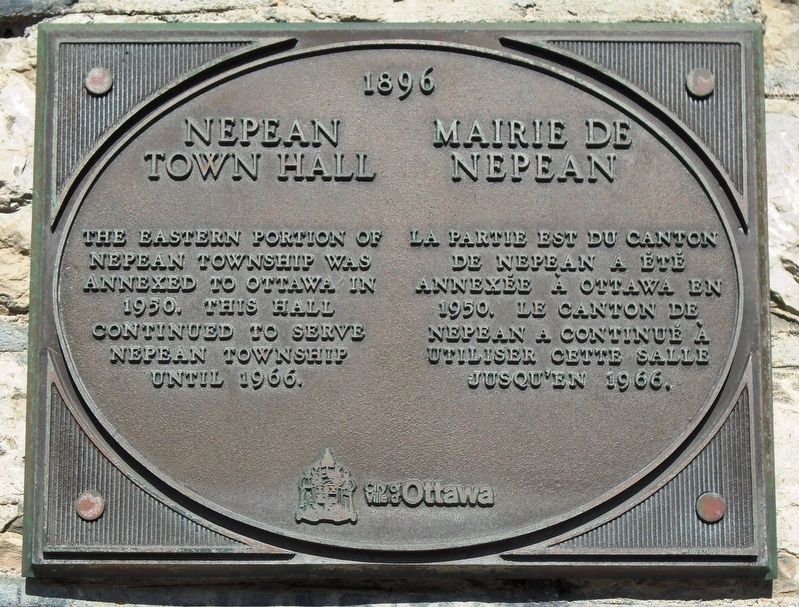
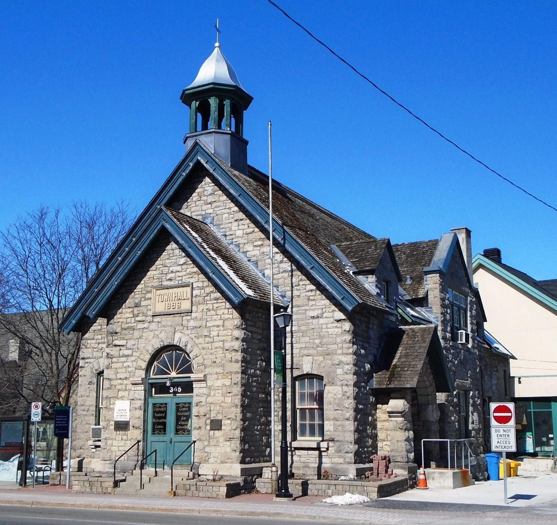
Nepean Town Hall / Mairie de Nepean
1896
The eastern portion of Nepean Township was annexed to Ottawa in 1950. This hall continued to serve Nepean Township until 1966.
La partie est du canton de Nepean a été annexée à Ottawa en 1950. Le canton de Nepean a continué à utiliser cette salle jusqu'en 1966.
Erected by City of/Ville d'Ottawa.
Topics. This historical marker is listed in this topic list: Settlements & Settlers. A significant historical year for this entry is 1950.
Location. 45° 23.521′ N, 75° 45.259′ W. Marker is in Ottawa, Ontario. It is in Westboro. Marker is on Richmond Road (Road 36) just west of Churchill Avenue (Road 65), on the left when traveling east. Touch for map. Marker is at or near this postal address: 345 Richmond Road, Ottawa ON K2A 0E7, Canada. Touch for directions.
Other nearby markers. At least 8 other markers are within 3 kilometers of this marker, measured as the crow flies. Memorial Heights War Memorial (about 180 meters away, measured in a direct line); Westboro War Memorial (approx. 0.6 kilometers away); Maplelawn (approx. 0.7 kilometers away); a different marker also named Maplelawn (approx. 0.7 kilometers away); Maplelawn Oak Trees (approx. 0.8 kilometers away); Home Children / Les Petits Émigrés (approx. 2.3 kilometers away); Without Habitat, There Is No Wildlife / Pas de faune sans habitat! (approx. 2.5 kilometers away); Armstrong House / Maison Armstrong (approx. 2.9 kilometers away). Touch for a list and map of all markers in Ottawa.
Also see . . .
1. Nepean Township History. (Submitted on March 19, 2018, by William Fischer, Jr. of Scranton, Pennsylvania.)
2. The Nepean Museum. Wikipedia emtry. (Submitted on March 19, 2018, by William Fischer, Jr. of Scranton, Pennsylvania.)
Credits. This page was last revised on January 24, 2022. It was originally submitted on March 19, 2018, by William Fischer, Jr. of Scranton, Pennsylvania. This page has been viewed 310 times since then and 40 times this year. Photos: 1, 2. submitted on March 19, 2018, by William Fischer, Jr. of Scranton, Pennsylvania.

