Brighton in Monroe County, New York — The American Northeast (Mid-Atlantic)
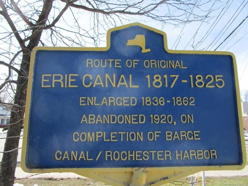
Route of Original Erie Canal
Erie Canal 1817 - 1825
Enlarged 1836-1862
Abandoned 1920, on
completion of Barge
Canal / Rochester Harbor
Topics and series. This historical marker is listed in this topic list: Waterways & Vessels. In addition, it is included in the Erie Canal series list. A significant historical year for this entry is 1817.
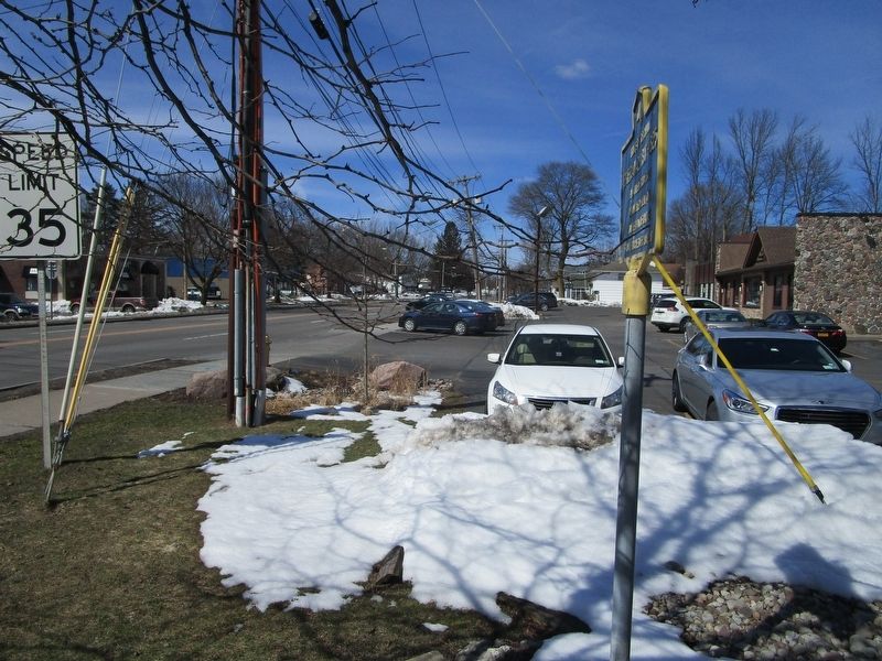
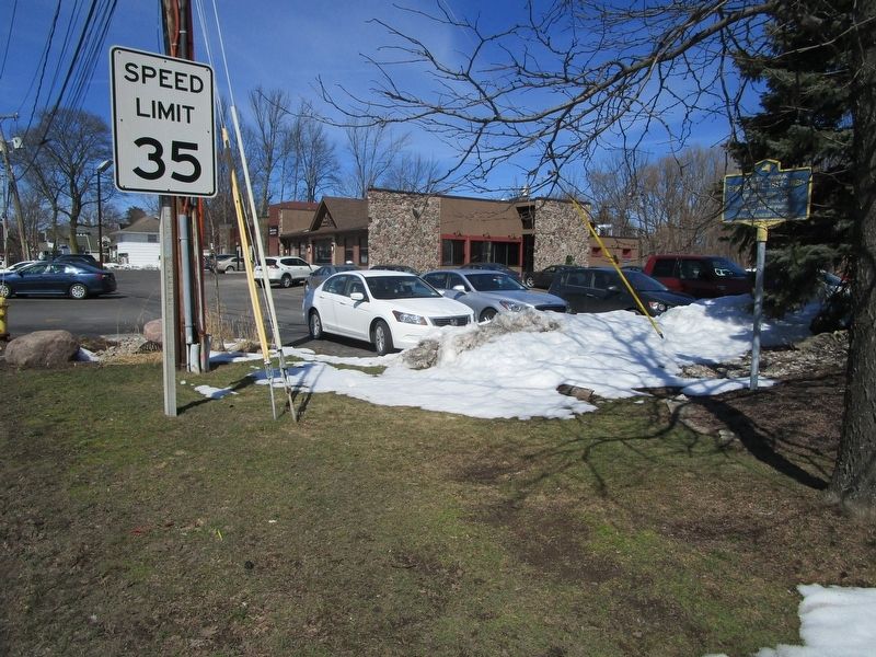
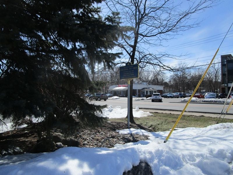
Location. 43° 7.08′ N, 77° 33.298′ W. Marker is in Brighton, New York, in Monroe County. Marker is on Monroe Avenue (New York State Route 31) 0.1 miles north of Allens Creek Road, on the right when traveling west. Marker is between two businesses: Valvoline oil change and Char-Broil restaurant. It is north and west of the I-590 South ramps. Touch for map. Marker is at or near this postal address: 2472 Monroe Avenue, Rochester NY 14618, United States of America. Touch for directions.
Other nearby markers. At least 8 other markers are within 2 miles of this marker, measured as the crow flies. Spring House - 1822 (approx. ¾ mile away); Seminary - 1845 (approx. 0.8 miles away); The Buckland / Horst House (approx. 0.9 miles away); Boyhood Home Site (approx. 1.2 miles away); Amos B. Buckland (approx. 1.4 miles away); The Empire State Trail (approx. 1.7 miles away); The Great American Canal (approx. 1.7 miles away); Portage Trail (approx. 1.7 miles away). Touch for a list and map of all markers in Brighton.
Credits. This page was last revised on March 23, 2018. It was originally submitted on March 23, 2018, by Anton Schwarzmueller of Wilson, New York. This page has been viewed 418 times since then and 64 times this year. Photos: 1, 2, 3, 4. submitted on March 23, 2018, by Anton Schwarzmueller of Wilson, New York.


