Frazier Park in Kern County, California — The American West (Pacific Coastal)
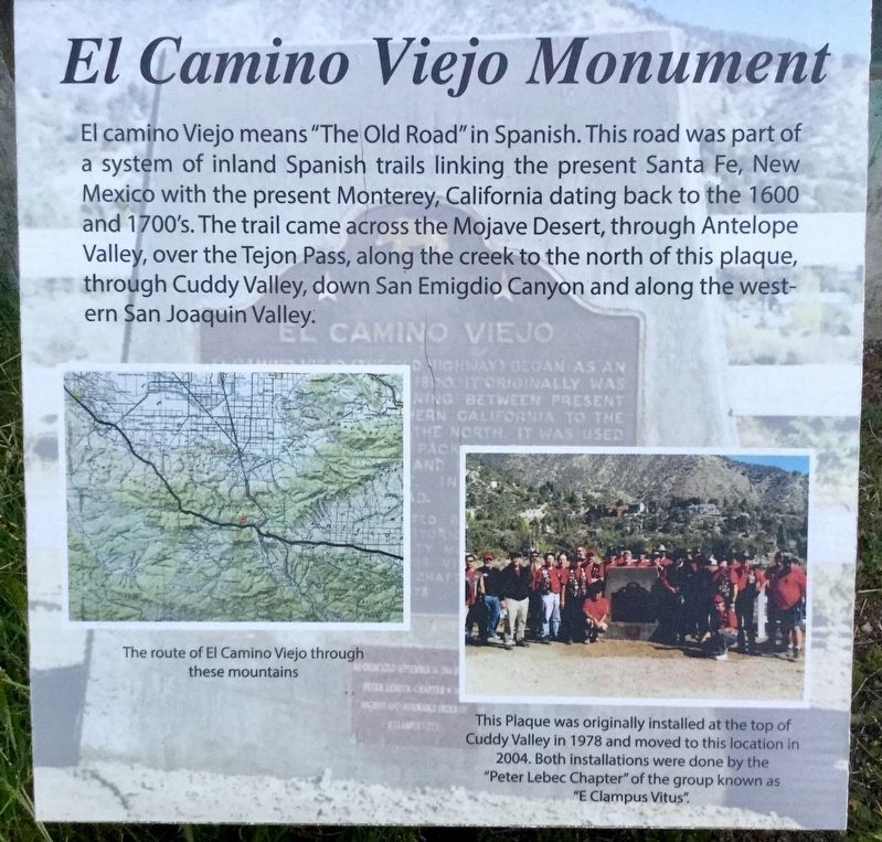
El Camino Viejo
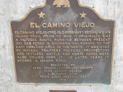
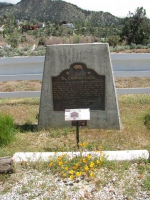
El Camino Viejo (The Old Highway) began as an inland trail prior to 1800. It was originally a refugee route running between present day San Pedro in Southern California to the East Oakland area in the north. It was used by Indians, trappers, packers, prospectors, and settlers. Cattle and horse herds were also driven over it. In later years it became a wagon road.
Erected 1978 by Kern County Historical Society, Kern County Museum and E Clampus Vitus Peter Lebec Chapter 1866.
Topics and series. This historical marker is listed in this topic list: Roads & Vehicles. In addition, it is included in the E Clampus Vitus series list.
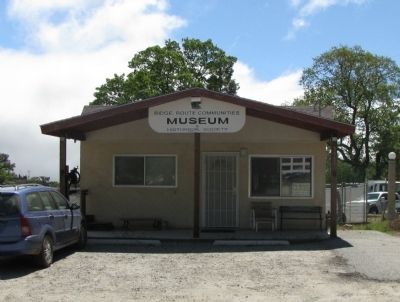
Location. 34° 49.199′ N, 118° 56.648′ W. Marker is in Frazier Park, California, in Kern County. Marker can be reached from Park Drive. Marker is located on the grounds of the Ridge Route Communities Historical Society Museum, open 12-5 Fri-Sun. Touch for map. Marker is at or near this postal address: 3515 Park Drive, Frazier Park CA 93225, United States of America. Touch for directions.
Other nearby markers. At least 8 other markers are within 5 miles of this marker, measured as the crow flies. Interstate Highway 5 (approx. 4.2 miles away); Don Pedro Fages (approx. 4.6 miles away); Peter Lebec (approx. 4.7 miles away); Camel Brigade (approx. 4.8 miles away); Peter Lebeck (approx. 4.8 miles away); Camel Trail Terminus (approx. 4.8 miles away); The Camels of Fort Tejon (approx. 4.8 miles away); Fort Tejon (approx. 4.8 miles away).
Also see . . . Ridge Route Museum at this location. (Submitted on April 17, 2018, by Craig Baker of Sylmar, California.)
Credits. This page was last revised on April 21, 2018. It was originally submitted on February 1, 2012, by Denise Boose of Tehachapi, California. This page has been viewed 1,321 times since then and 53 times this year. Last updated on April 17, 2018, by Craig Baker of Sylmar, California. Photos: 1, 2, 3, 4. submitted on February 1, 2012, by Denise Boose of Tehachapi, California. 5. submitted on April 16, 2018, by Craig Baker of Sylmar, California. • Bill Pfingsten was the editor who published this page.
