Jacksonville in Pulaski County, Arkansas — The American South (West South Central)
The Little Rock Campaign
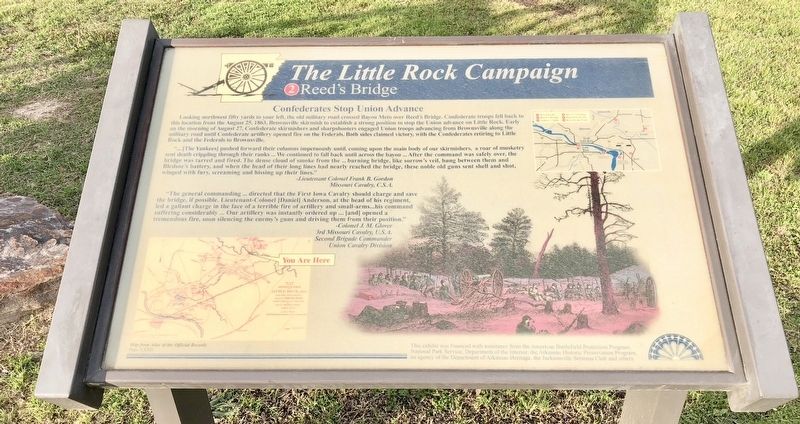
Reed's Bridge
— Confederates Stop Union Advance —
Looking northwest fifty yards to your left, the old military road crossed Bayou Meto over Reed's Bridge. Confederate troops fell back to this location from the August 25, 1863, Brownsville skirmish to establish a strong position to stop the Union advance on Little Rock. Early on the morning of August 27, Confederate skirmishers and sharpshooters engaged Union troops advancing from Brownsville along the military road until Confederate artillery opened fire on the Federals. Both sides claimed victory, with the Confederates retiring to Little Rock and the Federals to Brownsville.
“...[The Yankees] pushed forward their columns impetuously until, coming upon the main body of our skirmishers, a roar of musketry sent death crippling through their ranks We continued to fall back until across the bayou... After the command was safely over, the bridge was tarred and fired. The dense cloud of smoke from the burning bridge, like sorrow's veil, hung between them and Bledsoe's battery, and when the head of their long lines had nearly reached the bridge, these noble old guns sent shell and shot, winged with fury, screaming and hissing up their lines."
-Lieutenant Colonel Frank B. Gordon
Missouri Cavalry, C.S.A.
"The general commanding ... directed that the First Iowa Cavalry should charge and save the bridge, if possible. Lieutenant-Colonel [Daniel] Anderson, at the head of his regiment, led a gallant charge in the face of a terrible fire of artillery and small-arms...his command suffering considerably ... Our artillery was instantly ordered up [and] opened a tremendous fire, soon silencing the enemy's guns and driving them from their position."
-Colonel J. M. Glover
3rd Missouri Cavalry, U.S.A.
Second Brigade Commander
Union Cavalry Division
Erected by the American Battlefield Protection Program, National Park Service, Department of the Interior, the Arkansas Historic Preservation Program, the Jacksonville Sertoma Club. (Marker Number 2.)
Topics. This historical marker is listed in this topic list: War, US Civil. A significant historical date for this entry is August 25, 1863.
Location. 34° 50.614′ N, 92° 7.346′ W. Marker is in Jacksonville, Arkansas, in Pulaski County. Marker can be reached from South First Street (Arkansas Route 161) north of Lakeshore Drive, on the right when traveling north. Located within the Reed's Bridge Battlefield Heritage Park. Touch for map. Marker is at or near this postal address: South First Street, Jacksonville AR 72076, United States of America. Touch for directions.
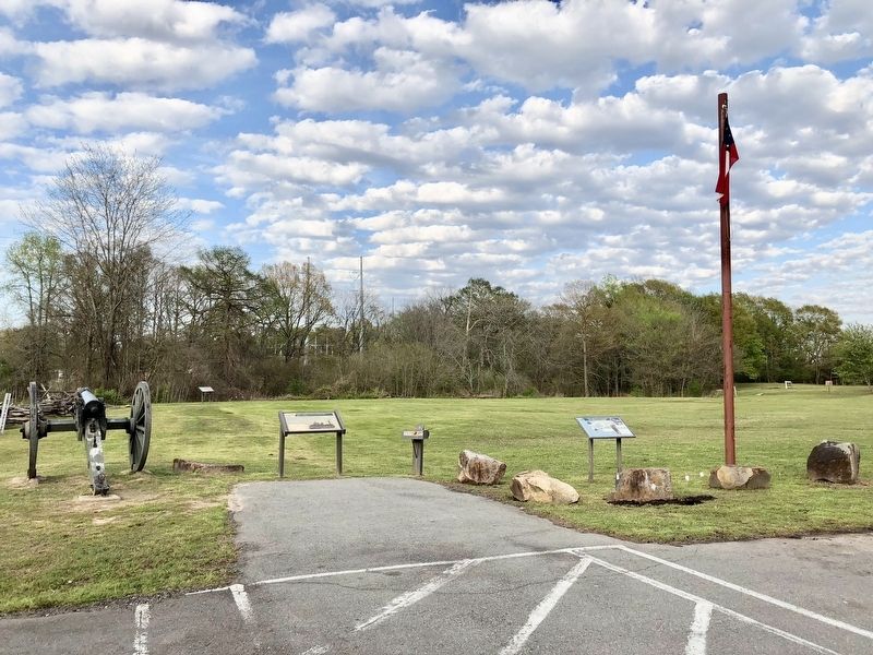
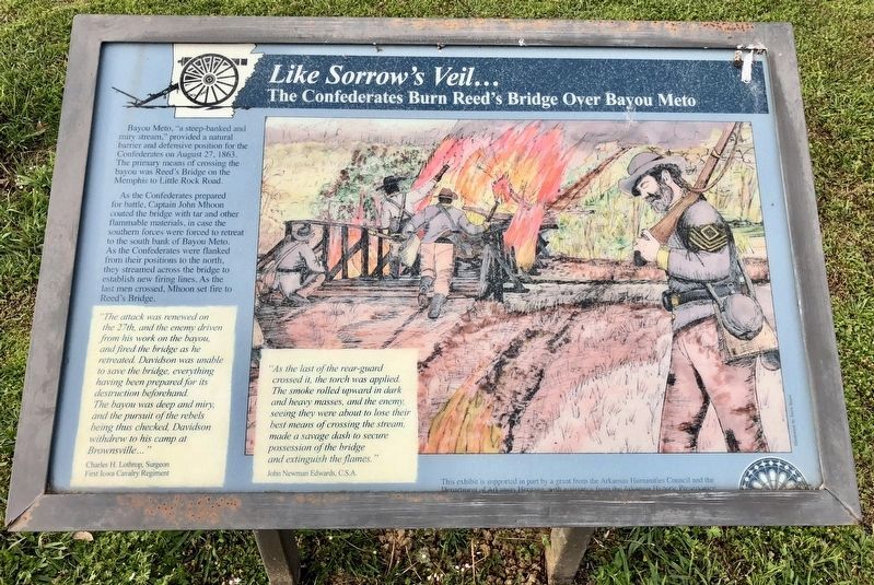
Other nearby markers. At least 8 other markers are within walking distance of this marker. The Little Rock Campaign (here, next to this marker); Like Sorrow's Veil... (within shouting distance of this marker);
The Defense of the Ford (about 500 feet away, measured in a direct line); Thunder on Bayou Meto (about 600 feet away); Marmaduke-Walker Duel (about 600 feet away); Brother Against Brother (approx. ¼ mile away); A Gallant Charge (approx. ¼ mile away); Our Batteries Opened a Tremendous Fire (approx. 0.4 miles away). Touch for a list and map of all markers in Jacksonville.
Also see . . . The Battle of Bayou Meto (August 27, 1863), also known as the Battle of Reed's Bridge. Wikipedia entry (Submitted on April 17, 2018, by Mark Hilton of Montgomery, Alabama.)
Credits. This page was last revised on August 25, 2022. It was originally submitted on April 17, 2018, by Mark Hilton of Montgomery, Alabama. This page has been viewed 258 times since then and 26 times this year. Photos: 1, 2, 3. submitted on April 17, 2018, by Mark Hilton of Montgomery, Alabama.


