Franconia in Grafton County, New Hampshire — The American Northeast (New England)
Preserving a Fragile Formation
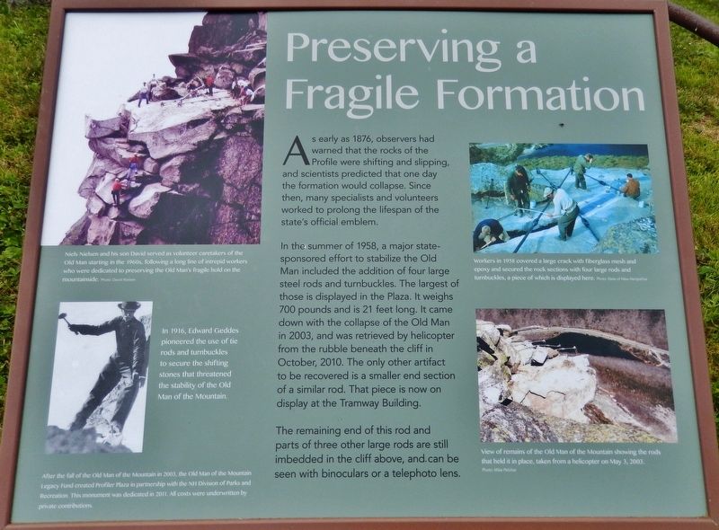
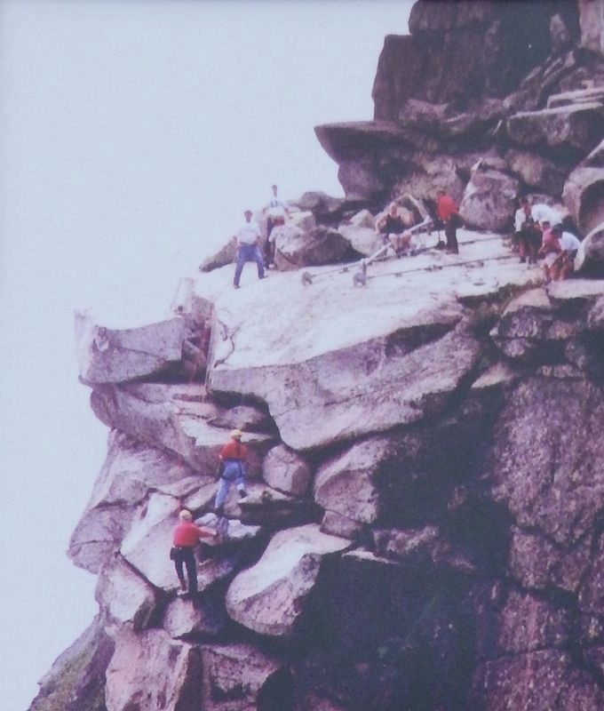
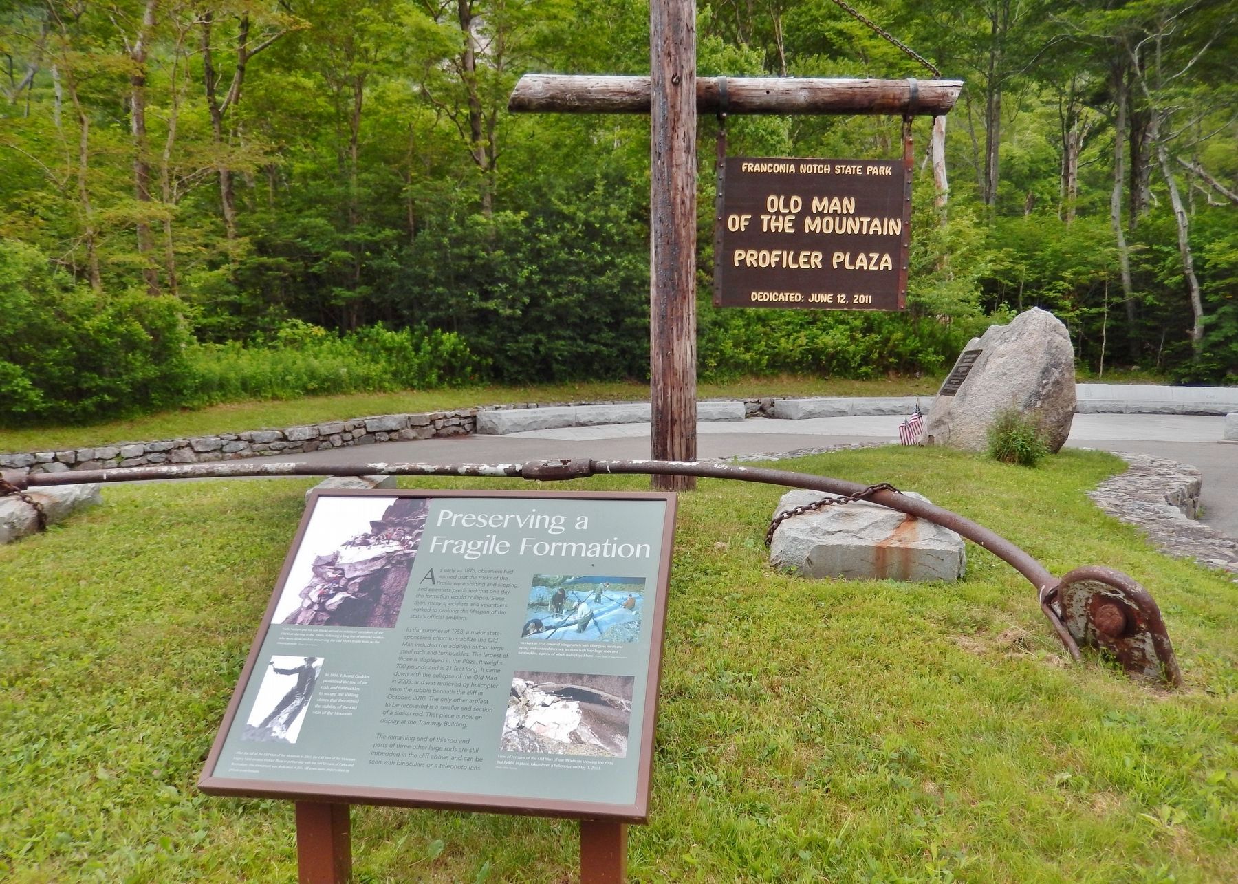
As early as 1876, observers had warned that the rocks of the Profile were shifting and slipping, and scientists predicted that one day the formation would collapse. Since then, many specialists and volunteers worked to prolong the lifespan of the state's official emblem.
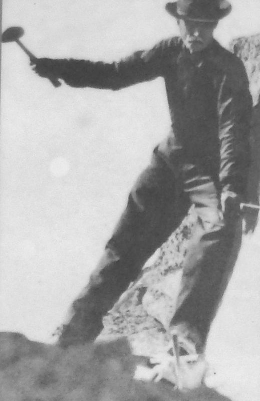
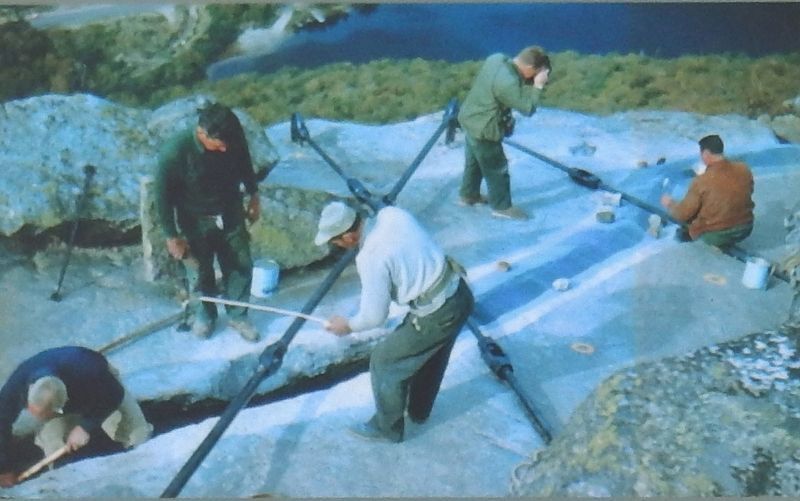
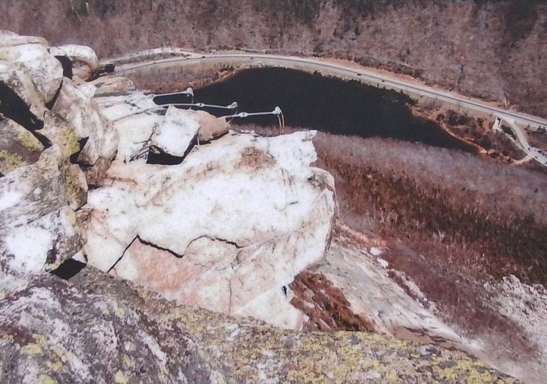
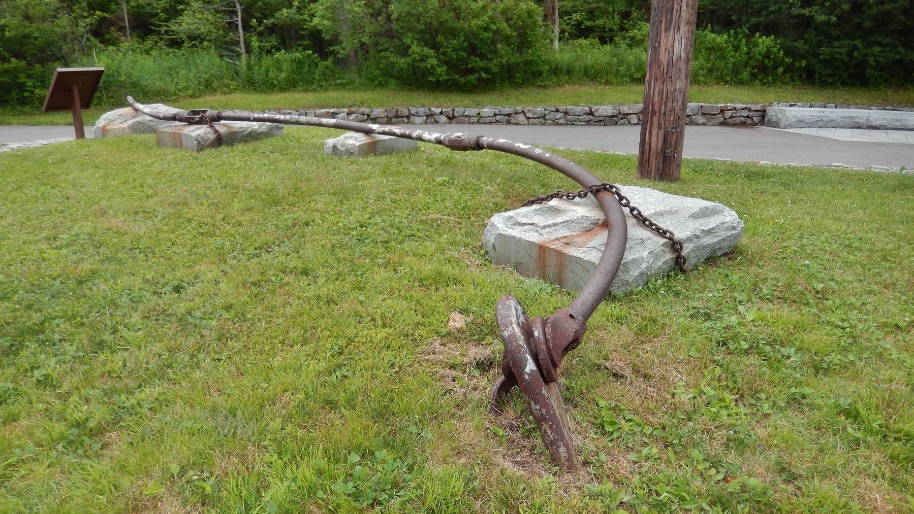
In the summer of 1958, a major state-sponsored effort to stabilize the Old Man included the addition of four large steel rods and turnbuckles. The largest of those is displayed in the Plaza. It weighs 700 pounds and is 21 feet long. It came down with the collapse of the Old Man in 2003, and was retrieved by helicopter from the rubble beneath the cliff in October, 2010. The only other artifact to be recovered is a smaller end section of a similar rod. That piece is now on display at the Tramway Building.
The remaining end of this rod and parts of three other large rods are still imbedded in the cliff above, and can be seen with binoculars or a telephoto lens.
Erected 2011 by New Hampshire Division of Parks and Recreation & Old Man of the Mountain Legacy Fund.
Topics. This historical marker is listed in these topic lists: Landmarks • Parks & Recreational Areas. A significant historical date for this entry is May 3, 2003.
Location. 44° 9.941′ N, 71° 40.729′ W. Marker is in Franconia, New Hampshire, in Grafton County. Marker can be reached from Tramway Drive west of Styles Bridges Highway (Interstate 93) when traveling south. Marker is located at the Old Man in the Mountain Profile Plaza, about a quarter mile walk south from the Old Man in the Mountain Historic Site parking lot, within Franconia Notch State Park. Take exit 34-B from Interstate 93. Touch for map. Marker is in this post office area: Franconia NH 03580, United States of America. Touch for directions.
Other nearby markers. At least 8 other markers are within walking distance of this marker. Viewing the Old Man (here, next to this marker); The Old Man of the Mountain (a few steps from this marker); Franconia Notch (a few steps from this marker); Why is it called A NOTCH? (a few steps from this marker); A Delicate Balance (a few steps from this marker); Profile Lake (within shouting distance of this marker); Landslides (within shouting distance of this marker); Eagle Cliff (within shouting distance of this marker). Touch for a list and map of all markers in Franconia.
Regarding Preserving a Fragile Formation. With the collapse of the Old Man of the Mountain on May 3, 2003, New Hampshire lost a beloved icon. Since that day, friends of the Old Man from throughout the Granite State and beyond have continued to celebrate the strength and spirit of the Profile. The Old Man of the Mountain Legacy Fund, with the support of hundreds of people, has created the Profiler
Plaza in Franconia Notch as a lasting monument to honor the Old Man.
Also see . . .
1. Niels Nielsen Doesn't Take New Hampshire's Old Man for Granite. Peopke magazine website entry (from August 13, 1984):
A few years back, Niels Nielsen removed seven cubic yards of gravel from the Old Man’s ear. This year Nielsen applied a new coat of epoxy to the top of his friend’s cranium, re-measured his nasal alignment and checked to make sure his Adam’s apple wasn’t about to drop off. The aging gent in question is the Old Man of the Mountain, a craggy, stone-faced natural formation on the shoulder of Cannon Mountain in northern New Hampshire. (Submitted on April 18, 2018, by Cosmos Mariner of Cape Canaveral, Florida.)
2. Old Man Of The Mountain Collapses. CBS News website entry (from May 3, 2003):
New Hampshire awoke Saturday to find its stern granite symbol of independence and stubbornness, the Old Man of the Mountain, had collapsed into indistinguishable rubble. The fall ended nearly a century of efforts to protect the 40-foot-tall landmark from the same natural forces that created it. Only stabilizing cables and epoxy remained Saturday where the famous ledges had clung. (Submitted on April 18, 2018, by Cosmos Mariner of Cape Canaveral, Florida.)
Credits. This page was last revised on November 30, 2021. It was originally submitted on April 18, 2018, by Cosmos Mariner of Cape Canaveral, Florida. This page has been viewed 178 times since then and 23 times this year. Last updated on April 18, 2018, by Cosmos Mariner of Cape Canaveral, Florida. Photos: 1, 2, 3, 4, 5, 6, 7. submitted on April 18, 2018, by Cosmos Mariner of Cape Canaveral, Florida. • Andrew Ruppenstein was the editor who published this page.
