Henrico in Henrico County, Virginia — The American South (Mid-Atlantic)
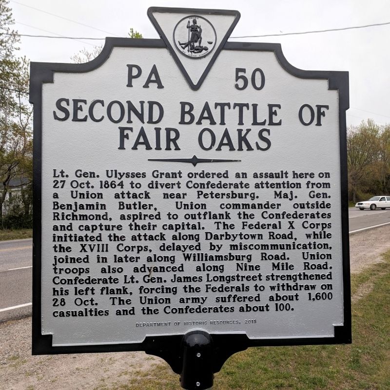
Second Battle of Fair Oaks
Erected 2015 by Department of Historic Resources. (Marker Number PA 50.)
Topics and series. This historical marker is listed in this topic list: War, US Civil. In addition, it is included in the Former U.S. Presidents: #18 Ulysses S. Grant, and the Virginia Department of Historic Resources (DHR) series lists. A significant historical date for this entry is October 27, 1864.
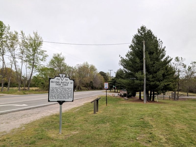
Location. 37° 28.359′ N, 77° 20.347′ W. Marker is in Henrico, Virginia, in Henrico County. Marker is at the intersection of Darbytown Road and Dorey Park Road, on the right when traveling east on Darbytown Road. Touch for map. Marker is at or near this postal address: 2999 Darbytown Road, Henrico VA 23231, United States of America. Touch for directions.
Other nearby markers. At least 8 other markers are within 2 miles of this marker, measured as the crow flies. Battle of Darbytown Road (a few steps from this marker); Richmond Defences (approx. 0.2 miles away); The Dorey Family (approx. ¼ mile away); Darbytown Road / Pioneer Baptist Church (approx. 0.3 miles away); a different marker also named Richmond Defences (approx. one mile away); Defenses of Richmond (approx. 1.2 miles away); 1862 Peninsula Campaign (approx. 1.2 miles away); Lee vs. Grant (approx. 1.2 miles away). Touch for a list and map of all markers in Henrico.
Credits. This page was last revised on April 22, 2018. It was originally submitted on April 22, 2018, by Bernard Fisher of Richmond, Virginia. This page has been viewed 699 times since then and 125 times this year. Photos: 1, 2. submitted on April 22, 2018, by Bernard Fisher of Richmond, Virginia.

