Tilden in McMullen County, Texas — The American South (West South Central)
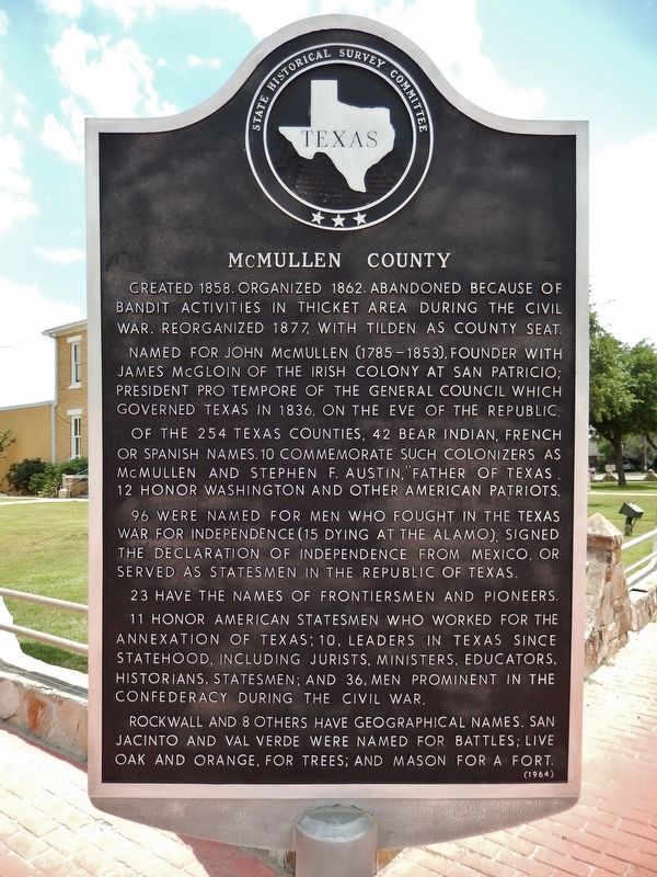
McMullen County
Created 1858. Organized 1862. Abandoned because of bandit activities in thicket area during the Civil War. Reorganized 1877, with Tilden as county seat.
Named for John McMullen (1785-1853), founder with James McGloin of the Irish Colony at San Patricio; President Pro Tempore of the General Council which governed Texas in 1836, on the eve of the Republic.
Of the 254 Texas counties, 42 bear Indian, French or Spanish names. 10 commemorate such colonizers as McMullen and Stephen F. Austin, "Father of Texas". 12 honor Washington and other American patriots.
96 were named for men who fought in the Texas war for independence (15 dying at the Alamo), signed the Declaration of Independence from Mexico, or served as statesmen in the Republic of Texas.
23 have the names of frontiersmen and pioneers.
11 honor American statesmen who worked for the annexation of Texas; 10, leaders in Texas since statehood, including jurists, ministers, educators, historians, statesmen; and 36, men prominent in the Confederacy during the Civil War.
Rockwall and 8 others have geographical names. San Jacinto and Val Verde were named for battles; Live Oak and Orange, for trees; and Mason for a fort.
Erected 1964 by State Historical Survey Committee . (Marker Number 3304.)
Topics. This historical marker is listed in these topic lists: Settlements & Settlers • War, US Civil. A significant historical year for this entry is 1858.
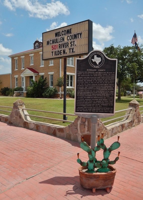
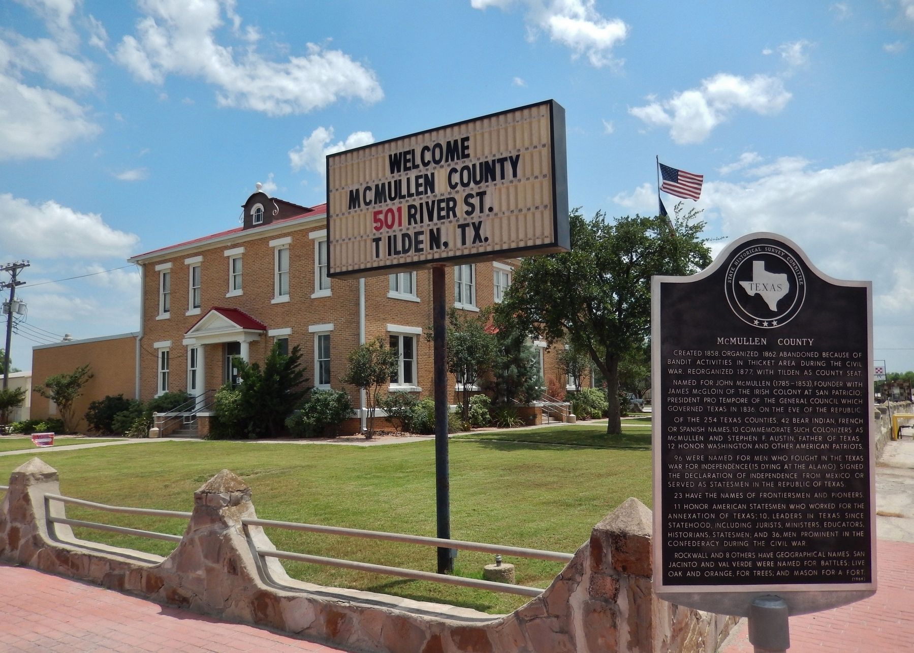
Location. 28° 27.678′ N, 98° 32.964′ W. Marker is in Tilden, Texas, in McMullen County. Marker is at the intersection of River Street (State Highway 16) and Elm Street (State Highway 72), on the left when traveling south on River Street. Marker is located at the northeast corner of the McMullen County Courthouse grounds. Touch for map. Marker is at or near this postal address: 501 River St, Tilden TX 78072, United States of America. Touch for directions.
Other nearby markers. At least 8 other markers are within walking distance of this marker. Old Rock Store (within shouting distance of this marker); Tilden (within shouting distance of this marker); Dog Town Jail (within shouting distance of this marker); Boot Hill Cemetery, 1858-77 (about 500 feet away, measured in a direct line); Original Burial Site of Moses William Hindes (about 500 feet away); San Caja Hill (approx. 0.2 miles away); Camp Rio Frio, C.S.A. (approx. 0.2 miles away); Old McMullen College (approx. 0.3 miles away). Touch for a list and map of all markers in Tilden.
Also see . . .
1. McMullen County. Handbook of Texas website entry:
In 1825 the Mexican state of Coahuila granted a colonization contract to Benjamin Drake Lovell and John G. Purnell for a tract of land that included all of present-day McMullen County north of the Nueces River. In 1828, after Lovell and Purnell had failed to fulfill the terms of their contract, the same land was assigned to John McMullen and James McGloin, who contracted to settle the area with 200 Catholic immigrants. Between the Texas Revolution and the Mexican War of 1846–48, most of what is now McMullen County lay in the disputed area between the Rio Grande and the Nueces River. When William Bollaert, an English land speculator, traveled through the area between the Nueces and Frio rivers in 1844, the only people he encountered were convicts who had escaped from a prison in Laredo. (Submitted on May 22, 2018, by Cosmos Mariner of Cape Canaveral, Florida.)
2. John McMullen. Handbook of Texas website entry:
McMullen was a merchant in Matamoros, Tamaulipas, in the early 1820s, when he was attracted by the advantages offered by the 1825 colonization law of Coahuila and Texas and became an empresario. He entered into a partnership with James McGloin and received a contract on August 16, 1828, which authorized the two to introduce 200 families to an assigned territory along the left bank of the Nueces River. Though McMullen and McGloin were not successful in completing their contract, they personally accompanied the first group of Irish colonists from New York to Texas on the Albion and the New Packet in
October 1829. (Submitted on May 22, 2018, by Cosmos Mariner of Cape Canaveral, Florida.)
Credits. This page was last revised on August 22, 2022. It was originally submitted on May 22, 2018, by Cosmos Mariner of Cape Canaveral, Florida. This page has been viewed 324 times since then and 25 times this year. Photos: 1, 2, 3. submitted on May 22, 2018, by Cosmos Mariner of Cape Canaveral, Florida. • Bernard Fisher was the editor who published this page.


