Arcola in Washington County, Minnesota — The American Midwest (Upper Plains)
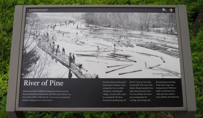
River of Pine
Arcola witnessed this great movement of timber. Each spring, the river swelled with pine, isolating the village as boat traffic came to a standstill. Workers focused on pulling logs off the St. Croix to cut at the Arcola mill. The rest of the timber floated another four miles downstream to the St. Croix Boom–the main processing point for sorting, measuring, and determining ownership. From there, logs were transported to Stillwater mills or fashioned into rafts and sent south to Iowa, Illinois and Missouri.
Erected by St. Croix National Scenic Riverway, Arcola Mills Historic Foundation.
Topics. This historical marker is listed in these topic lists: Industry & Commerce • Waterways & Vessels. A significant historical year for this entry is 1839.
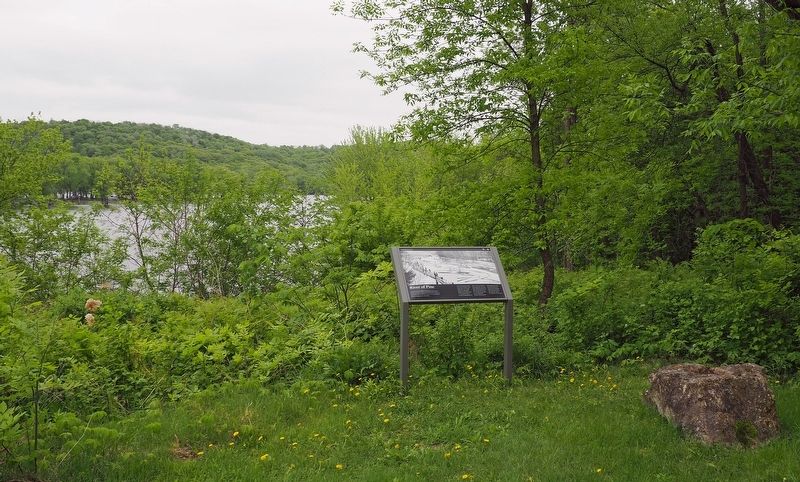
Location. 45° 8.273′ N, 92° 45.076′ W. Marker is in Arcola, Minnesota, in Washington County. Marker can be reached from Arcola Trail North. The marker is on the edge of the lawn southeast of the Mower Mansion. Public access to this site is limited to certain open house days. Touch for map. Marker is at or near this postal address: 12905 Arcola Trail N, Stillwater MN 55082, United States of America. Touch for directions.
Other nearby markers. At least 8 other markers are within 5 miles of this marker, measured as the crow flies. The Village of Arcola (about 400 feet away, measured in a direct line); Controlling A River Of Logs (approx. 4 miles away); Life at the Boom (approx. 4 miles away); St. Croix Boom Site (approx. 4.1 miles away); Early Settler's Cabin (approx. 4.2 miles away); Minnesota's First Commercial Sawmill (approx. 4.2 miles away); Powerhouse and Kiln (approx. 4.2 miles away); The Pineries are Gone (approx. 4.2 miles away).
Credits. This page was last revised on May 28, 2018. It was originally submitted on May 24, 2018, by McGhiever of Minneapolis, Minnesota. This page has been viewed 170 times since then and 10 times this year. Photos: 1, 2. submitted on May 24, 2018, by McGhiever of Minneapolis, Minnesota. • Bill Pfingsten was the editor who published this page.

