City of London in Greater London, England, United Kingdom — Northwestern Europe (the British Isles)
Queenhithe
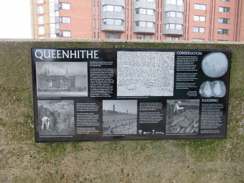
Queenhithe was a thriving Saxon and medieval dock and is the only inlet surviving along the City waterfront today.
In AD 886 the Roman City was reoccupied by King Alfred the Great, the City walls providing some protection from Viking raids. King Alfred established the first harbor here at 'Ethelred's Hythe’. It is recorded in contemporary charters as a trading shore, where goods were sold directly from beached boats. The harbour was known as Queenhithe after Queen Matilda, wife of Henry I, was granted the dues from the dock in the early 12th century. This right was inherited by successive English queens. By the 13th century it had become the principal dock for handling grain and other foodstuffs to feed London's growing population. However, the dock declined in the 15th century in favour of the better facilities for larger vessels at Billingsgate downstream of London Bridge.
After the 14th century waterfronts began to be built in stone, which lasted much longer, and the process of reclaiming land slowed down. By the 18th century most of the waterfront in the City had reached the modern alignment.
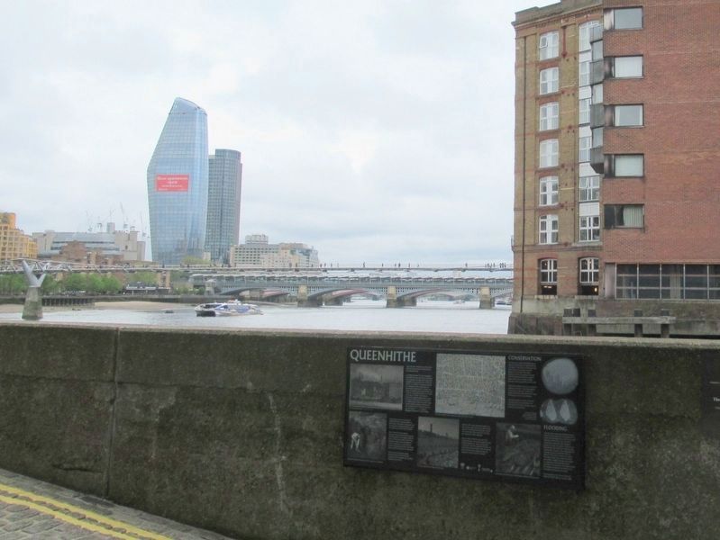
Today, remnants of the Victorian use of the riverfront and port can be seen at low tide on the foreshore beneath you. These are barge beds, constructed to level and stabilise the foreshore for berthing flat-bottomed barges, which transported goods to and from the warehouses lining the waterfront in the 19th and 20th centuries.
The foreshore at Queenhithe Wharf helps to support the 350 species of invertebrates and 115 species of fish which can be found in the River Thames. The foreshore, the area between Low and High Water Mark, represents the most ecologically important area as it provides somewhere for algae to grow, a home for Invertebrates, feeding grounds for birds and spawning areas for fish.
The foreshore habitat in the City of London is severely constrained by urban development. We have been careful not to disturb this fragile environment during construction works by limiting our works on the foreshore.
The timber fenders on the face of the wall have been kept as they contribute to the biodiversity of the river by allowing a base for seaweeds and invertebrates.
This river wall at Queenhithe Wharf forms part of the tidal flood defences protecting the City of London from flooding. If any section of the walls along this stretch of river were to breach it would cause considerable flood damage to property and major disruption to transport and infrastructure. The Environment Agency, along with the City of London, have strengthened and improved the wall at Queenhithe Wharf to reduce the flood risk to people and property. The design of these improvement
works has been guided by English Heritage, who required the appearance of this scheduled ancient monument to be maintained. The design ensured that minimum disturbance was caused to the archaeology and ecology of the wharf. The strengthened river wall was opened by Alderman Gordon Haines in Summer 2008.
Topics. This historical marker is listed in these topic lists: Industry & Commerce • Waterways & Vessels.
Location. 51° 30.618′ N, 0° 5.711′ W. Marker is in City of London, England, in Greater London. Marker can be reached from the intersection of Upper Thames Street and Queenhithe, on the right when traveling east. Located on the Riverside Walk (Thames Path). Touch for map. Marker is in this post office area: City of London, England EC4V 3EH, United Kingdom. Touch for directions.
Other nearby markers. At least 8 other markers are within walking distance of this marker. Queenhithe Mosaic (a few steps from this marker); The Alfred Plaque (within shouting distance of this marker); Foundation Stone (about 90 meters away, measured in a direct line); Sunlight Wharf (about 150 meters away); Walbrook Wharf (about 210 meters away); Whittington Garden (about 210 meters away); St. Thomas the Apostle Church (about 240 meters away); Worshipful Company of Innholders (approx. 0.3 kilometers away). Touch for a list and map of all markers in City of London.
Also see . . . Queenhithe on Wikipedia. (Submitted on May 28, 2018, by Michael Herrick of Southbury, Connecticut.)
Credits. This page was last revised on January 27, 2022. It was originally submitted on May 28, 2018, by Michael Herrick of Southbury, Connecticut. This page has been viewed 628 times since then and 187 times this year. Photos: 1, 2. submitted on May 28, 2018, by Michael Herrick of Southbury, Connecticut.

