Lorman in Claiborne County, Mississippi — The American South (East South Central)
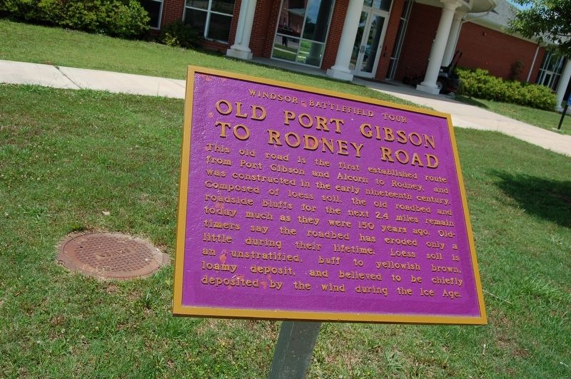
Old Port Gibson to Rodney Road
Windsor Battlefield Tour
This road is the first established route from Port Gibson and Alcorn to Rodney, and was constructed in the early nineteenth century. Composed of loess soil, the old roadbed and roadside bluffs for the next 2.4 miles remain today much as they were 150 years ago. Old-timers say the roadbed has eroded only a little during their lifetime. Loess soil is an unstratified, buff to yellowish brown, loamy deposit, and believed to be chiefly deposited by the wind during the Ice Age.
Topics and series. This historical marker is listed in this topic list: Roads & Vehicles. In addition, it is included in the Historically Black Colleges and Universities series list.
Location. 31° 52.478′ N, 91° 8.701′ W. Marker is in Lorman, Mississippi, in Claiborne County. Marker is at the intersection of Rodney Drive and Thompson Street, on the right when traveling west on Rodney Drive. Touch for map. Marker is in this post office area: Lorman MS 39096, United States of America. Touch for directions.
Other nearby markers. At least 8 other markers are within 2 miles of this marker, measured as the crow flies. Belles Lettres Building (about 600 feet away, measured in a direct line); The Original Campus (approx. 0.3 miles away); Alcorn State University (1871) (approx. 0.3 miles away); Oakland Memorial Chapel (approx. 0.3 miles away); The Chapel (approx. 0.3 miles away); Oakland College (approx. 0.3 miles away); Alcorn Agricultural And Mechanical College (approx. 0.3 miles away); Canemount Plantation (approx. 1.7 miles away). Touch for a list and map of all markers in Lorman.
More about this marker. Located at the eastern terminus of Rodney Drive, on the campus of Alcorn State University.
Opinion
Highly recommend a truck or four wheel drive if you travel this road. It is very primitive and will take about 15-20 minutes to travel the 2.4 miles.
Credits. This page was last revised on July 8, 2018. It was originally submitted on May 30, 2018, by Cajun Scrambler of Assumption, Louisiana. This page has been viewed 246 times since then and 32 times this year. Photos: 1, 2. submitted on May 30, 2018.

