Chatham in Medway, England, United Kingdom — Northwestern Europe (the British Isles)
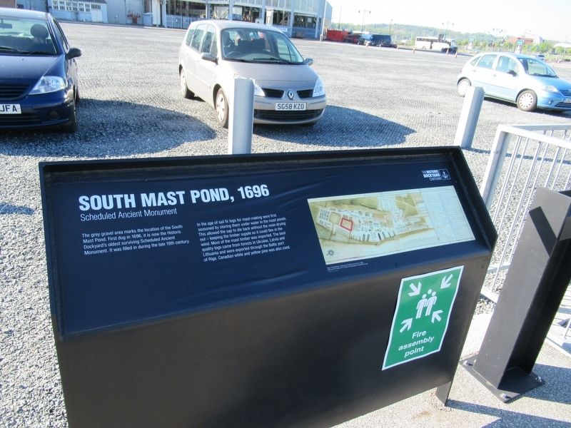
South Mast Pond, 1696
South Mast Pond, 1696
Scheduled Ancient Monument
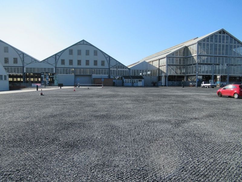
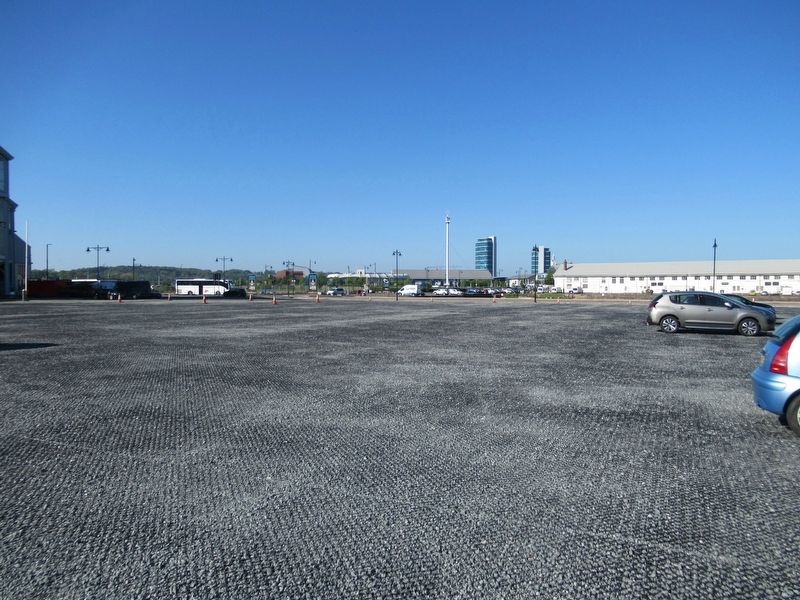
The grey gravel area marks the location of the South Mast Pond. First dug in 1696, it is now the Historic Dockyard's oldest surviving Scheduled Ancient Monument. It was filled in during the late 19th century.
In the age of sail fir logs for mast-making were first seasoned by storing them under water in the mast ponds. This allowed the sap to die back without the resin drying out - keeping the timber supple so it could flex in the wind. Most of the mast timber was imported. The best quality logs came from forests in Ukraine, Latvia and Lithuania and were exported through the Baltic port of Riga. Canadian white and yellow pine was also used.
Topics. This historical marker is listed in these topic lists: Industry & Commerce • Waterways & Vessels.
Location. 51° 23.807′ N, 0° 31.795′ E. Marker is in Chatham, England, in Medway. Marker can be reached from the intersection of Western Avenue and Main Gate Road, on the left when traveling north. Located in Historic Dockyard Chatham. Touch for map. Marker is in this post office area: Chatham, England ME4 4TZ, United Kingdom. Touch for directions.
Other nearby markers. At least 8 other markers are within walking distance of this marker. North Mast Pond, 1702 (here, next to this marker); Brunel Saw Mill Canal Lock, 1812-14 (here, next to this marker); Mast Houses & Mould Loft (a few steps from this marker); No. 1 Smithery, 1808 (about 90 meters away, measured in a direct line); Timber Seasoning Sheds, 1774 (about 90 meters away); Propeller, RFA Reliant, c.1954 (about 90 meters away); Plate Bending Rolls, 1913 (about 90 meters away); Steam Hammer, 1955 (about 120 meters away). Touch for a list and map of all markers in Chatham.
Also see . . .
1. Chatham Historic Dockyard Trust. (Submitted on June 8, 2018, by Michael Herrick of Southbury, Connecticut.)
2. Chatham Dockyard Historical Society. (Submitted on June 8, 2018, by Michael Herrick of Southbury, Connecticut.)
3. Chatham Dockyard on Wikipedia. (Submitted on June 8, 2018, by Michael Herrick of Southbury, Connecticut.)
Credits. This page was last revised on January 27, 2022. It was originally submitted on June 8, 2018, by Michael Herrick of Southbury, Connecticut. This page has been viewed 114 times since then and 7 times this year. Photos: 1, 2, 3. submitted on June 8, 2018, by Michael Herrick of Southbury, Connecticut.


