Sabine Pass in Jefferson County, Texas — The American South (West South Central)
Beach Road
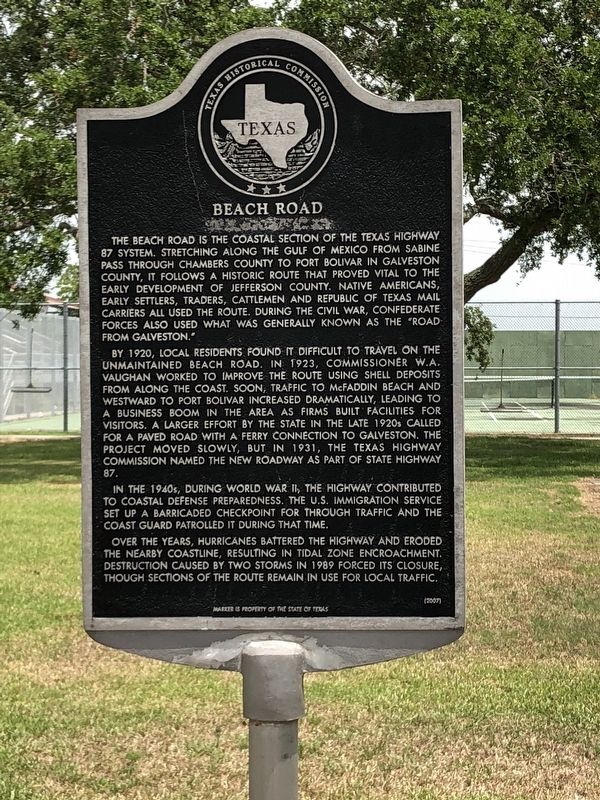
The Beach Road is the coastal section of the Texas Highway 87 system. Stretching along the Gulf of Mexico from Sabine Pass through Chambers County to Port Bolivar in Galveston County, it follows a historic route that proved vital to the early development of Jefferson County. Native Americans, early settlers, traders, cattlemen and Republic of Texas mail carriers all used the road. During the Civil War, Confederate forces used the route, which was generally known as the "Road from Galveston."
By 1920, local residents found it difficult to travel on the unmaintained Beach Road. In 1923, Commissioner W.A. Vaughan worked to improve the route using shell deposits from along the coast. Soon traffic to McFaddin Beach and westward to Port Bolivar increased dramatically, leading to a business boom in the area as firms built facilities for visitors. A larger effort by the state in the late 1920s called for a paved road with a ferry connection to Galveston. The project moved slowly, but in 1931, the Texas Highway Commission named the new roadway as part of State Highway 87.
In the 1940s, during World War II, the highway contributed to coastal defense preparedness. The U.S. Immigration Service set up a barricaded checkpoint for through traffic and the Coast Guard patrolled it during that time.
Over the years, hurricanes battered the highway and eroded the nearby coastline, resulting in tidal zone encroachment. Destruction caused by two storms in 1989 forced its closure, though sections of the route remain in use for local traffic.
Erected 2007 by Texas Historical Commission. (Marker Number 13645.)
Topics. This historical marker is listed in this topic list: Roads & Vehicles.
Location. 29° 43.957′ N, 93° 53.691′ W. Marker is in Sabine Pass, Texas, in Jefferson County. Marker is on South Gulfway Drive (State Highway 87), on the right when traveling north. Touch for map. Marker is at or near this postal address: 5310 South Gulfway Drive, Sabine Pass TX 77655, United States of America. Touch for directions.
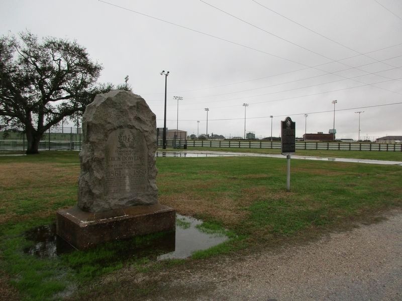
Other nearby markers. At least 8 other markers are within walking distance of this marker. Dick Dowling (here, next to this marker); Sabine Pass World War II Memorial (about 700 feet away, measured in a direct line); Sabine Pass Veterans Memorial (about 700 feet away); Fort Sabine (about 800 feet away); City of Sabine and Sabine Pass (approx. 0.2 miles away); 1886 Hurricane at Sabine Pass (approx. 0.2 miles away); Sabine Bank Lighthouse (approx. 0.2 miles away); Melvin Gillette (approx. 0.2 miles away). Touch for a list and map of all markers in Sabine Pass.
Credits. This page was last revised on January 30, 2023. It was originally submitted on June 12, 2018, by Brian Anderson of Humble, Texas. This page has been viewed 299 times since then and 11 times this year. Photos: 1. submitted on June 13, 2018, by Brian Anderson of Humble, Texas. 2. submitted on January 28, 2023, by Jeff Leichsenring of Garland, Texas. • Andrew Ruppenstein was the editor who published this page.

