Trinidad in Humboldt County, California — The American West (Pacific Coastal)
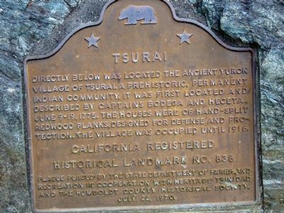
Tsurai
California registered historical landmark No. 838
Plaque placed by the State Department of Parks and Recreation in cooperation with Heritage Trinidad and the Humboldt County Historical Society.
July 22, 1970
Erected 1970 by State Department of Parks and Recreation in cooperation with Heritage Trinidad and the Humboldt County Historical Society. (Marker Number 838.)
Topics and series. This historical marker is listed in these topic lists: Native Americans • Settlements & Settlers. In addition, it is included in the California Historical Landmarks series list. A significant historical year for this entry is 1775.
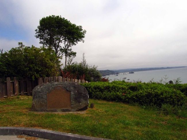
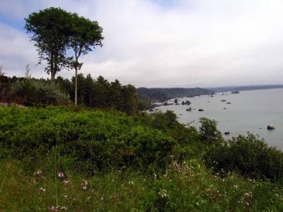
Location. 41° 3.511′ N, 124° 8.518′ W. Marker is in Trinidad, California, in Humboldt County. Marker is at the intersection of Edwards Street and Ocean Avenue, on the right when traveling north on Edwards Street. Touch for map. Marker is in this post office area: Trinidad CA 95570, United States of America. Touch for directions.
Other nearby markers. At least 5 other markers are within 5 miles of this marker, measured as the crow flies. Holy Trinity Church (about 600 feet away, measured in a direct line); Town of Trinidad (about 700 feet away); Trinidad Memorial Lighthouse (approx. 0.4 miles away); Spain Claims Northern California (approx. 0.6 miles away); William Z. Hegy (approx. 4˝ miles away). Touch for a list and map of all markers in Trinidad.
Also see . . .
1. Don Bruno de Heceta. (Submitted on June 18, 2007, by Karen Key of Sacramento, California.)
2. Juan Francisco de la Bodega y Quadra. (Submitted on June 18, 2007, by Karen Key of Sacramento, California.)
Credits. This page was last revised on August 1, 2018. It was originally submitted on June 18, 2007, by Karen Key of Sacramento, California. This page has been viewed 2,142 times since then and 20 times this year. Photos: 1, 2, 3, 4. submitted on June 18, 2007, by Karen Key of Sacramento, California. • J. J. Prats was the editor who published this page.


