Cumberland Township near Gettysburg in Adams County, Pennsylvania — The American Northeast (Mid-Atlantic)
Posey's Brigade
Anderson's Division - Hill's Corps
— Army of Northern Virginia —
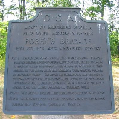
Army of Northern Virginia
Hill's Corps Anderson's Division
Posey's Brigade
12th. 16th. 19th. 48th. Mississippi Infantry
July 2 Arrived and took position here in the morning. Through some misunderstanding of orders instead of the Brigade advancing in compact ranks in support of the troops on its right in their assault on the Union lines the regiments were ordered forward at different times. Deployed as skirmishers and fighting in detachments they pushed back the Union outposts and drove some artillerists for a while from their guns but did not join in the attack upon the Union position on Cemetery Ridge.
July 3 Was held in reserve here supporting Artillery in its front.
July 4 In line here all day. At dark began the march to Hagerstown.
Present 1150. Killed 12. Wounded 71. Total 83.
Erected 1910 by Gettysburg National Military Park Commission.
Topics. This historical marker is listed in this topic list: War, US Civil. A significant historical month for this entry is July 1876.
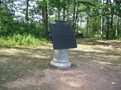
Location. 39° 48.871′ N, 77° 15.031′ W. Marker is near Gettysburg, Pennsylvania, in Adams County. It is in Cumberland Township. Marker is on West Confederate Avenue, on the right when traveling south. Located opposite the Virginia State Memorial (Driving Tour Stop 5) on Seminary Ridge in Gettysburg National Military Park. Touch for map. Marker is in this post office area: Gettysburg PA 17325, United States of America. Touch for directions.
Other nearby markers. At least 8 other markers are within walking distance of this marker. Poague's Howitzers (a few steps from this marker); Ward's Battery - Poague's Battalion (a few steps from this marker); Brooke's Battery - Poague's Battalion (within shouting distance of this marker); Army of Northern Virginia (within shouting distance of this marker); Virginia Memorial (within shouting distance of this marker); Wright's Brigade (within shouting distance of this marker); The Storm of Battle (within shouting distance of this marker); Gettysburg (within shouting distance of this marker). Touch for a list and map of all markers in Gettysburg.
Also see . . . Report of Brig. Gen. Carnot Posey. Shotgun's Civil War Home website entry:
Regarding the confusion on July 2, Posey only hinted at the discrepancy, but felt the need to cite the individual delivering orders:
I received an order from the major-general, through his aide-de-camp, Captain [S. D.] Shannon, to advance but two of my regiments, and deploy them closely as skirmishers. I had then a thin line of skirmishers in front, and at once sent out the Forty-eighth and Nineteenth Regiments, Colonel Jayne and Colonel Harris commanding. These regiments advanced some 200 or 300 yards beyond the barn and house, which were burned. (Submitted on September 28, 2008, by Craig Swain of Leesburg, Virginia.)

Photographed By Craig Swain, August 16, 2008
3. Posey's Brigade Position
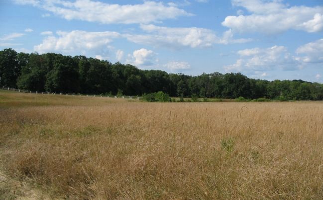
Looking north across the eastern base of Seminary Ridge from a point in front of the Virginia Memorial. The Brigade occupied a line at the base of Seminary Ridge. The 12th Mississippi stood just beyond the snake-rail fence in the distance. Beyond them were the 48th, 19th and 16th Mississippi. At the time of the battle, the trees in the distant left were not present.
Credits. This page was last revised on February 7, 2023. It was originally submitted on September 28, 2008, by Craig Swain of Leesburg, Virginia. This page has been viewed 1,219 times since then and 32 times this year. Photos: 1, 2, 3. submitted on September 28, 2008, by Craig Swain of Leesburg, Virginia.

