Galveston in Galveston County, Texas — The American South (West South Central)
Mitchell Street
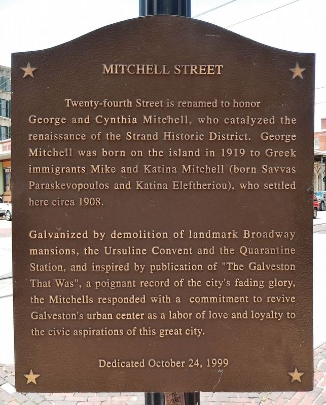
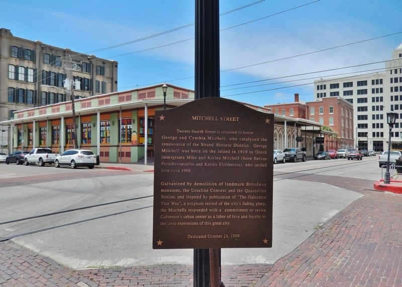
Twenty-fourth Street is renamed to honor George and Cynthia Mitchell, who catalyzed the renaissance of the Strand Historic District. George Mitchell was born on the island in 1919 to Greek immigrants Mike and Katina Mitchell (born Savvas Paraskevopoulos and Katina Eleftheriou), who settled here circa 1908.
Galvanized by demolition of landmark Broadway mansions, the Ursuline Convent and the Quarantine Station, and inspired by publication of "The Galveston That Was", a poignant record of the city's fading glory, the Mitchells responded with a commitment to revive Galveston's urban center as a labor of love and loyalty to the civic aspirations of this great city.
Erected 1999.
Topics. This historical marker is listed in these topic lists: Charity & Public Work • Roads & Vehicles • Settlements & Settlers.
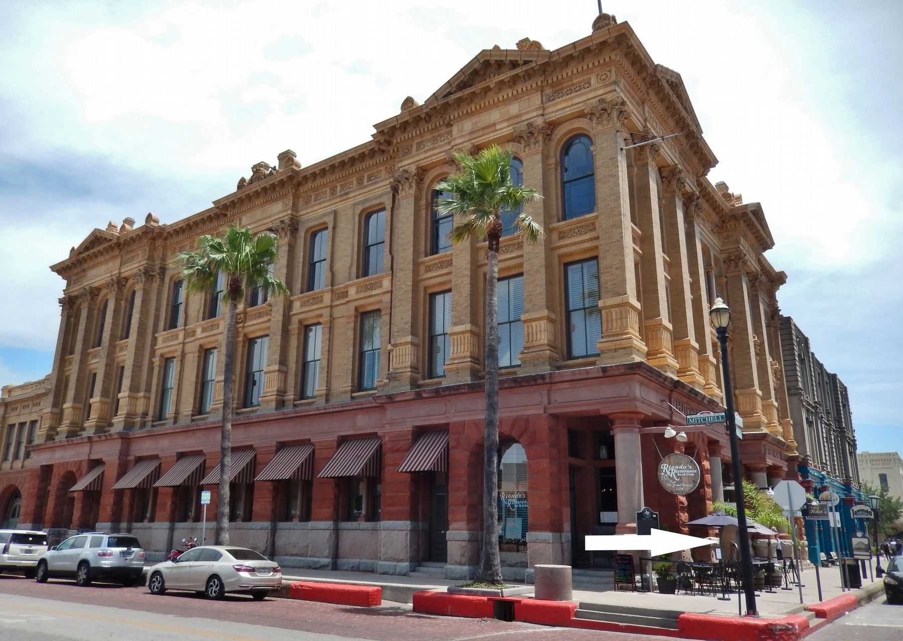
Location. 29° 18.419′ N, 94° 47.728′ W. Marker is in Galveston, Texas, in Galveston County. Marker is at the intersection of Strand Street and Mitchell Street (24th Street), on the right when traveling west on Strand Street. Marker is located at the northeast corner of the intersection. Touch for map. Marker is at or near this postal address: 2326 Strand Street, Galveston TX 77550, United States of America. Touch for directions.
Other nearby markers. At least 8 other markers are within walking distance of this marker. Nicholas J. Clayton (here, next to this marker); Hutchings, Sealy & Co. Buildings (a few steps from this marker); Hutchings, Sealy & Co. (a few steps from this marker); Merchants Mutual Insurance Company Building (within shouting distance of this marker); Magale Building (within shouting distance of this marker); Greenleve, Block & Co. Building (within shouting distance of this marker); 1871 Thomas Jefferson League Building (about 300 feet away, measured in a direct line); Saengerfest Park (about 300 feet away). Touch for a list and map of all markers in Galveston.
Also see . . .
1. Philanthropists Cynthia and George Mitchell Transform Historic Galveston. The late, George Mitchell and his wife Cynthia Mitchell, were always strong advocates of historic preservation and served as leaders in the transformation of Galveston’s once decrepit and neglected downtown area into the nationally acclaimed Strand National Historic Landmark District. Mitchell saw some of the buildings fall to the wrecking ball and considered it to be a sad fate for once stunning examples of Victorian architecture. The Mitchells recognized the fact that the people who lived and worked downtown were unable to do the needed restorations
on their own. In their opinion Galveston had the best Victorian architecture in the Southwest and it deserved to be protected. (Submitted on June 24, 2018, by Cosmos Mariner of Cape Canaveral, Florida.)
2. Oil giant, developer George Mitchell dies at 94. (July 26, 2013) George Mitchell, Texas oil man, real estate developer, and one of Houston's wealthiest businessmen, died Friday at his home in Galveston, a spokeswoman said. He was 94. The son of a poor Greek immigrant, Mitchell had an uncanny knack for finding oil. During his career, he participated in drilling some 8,000 wells, including more than 1,000 wildcats. He was a pioneer in the technology of hydraulic fracturing and horizontal drilling, using it to tap oil and gas in the Barnett Shale of North Texas in the 1980s and 1990s. The process launched a revolution in U.S. energy, and prompted international environmental debate. (Submitted on June 24, 2018, by Cosmos Mariner of Cape Canaveral, Florida.)
Credits. This page was last revised on June 25, 2018. It was originally submitted on June 24, 2018, by Cosmos Mariner of Cape Canaveral, Florida. This page has been viewed 262 times since then and 19 times this year. Photos: 1, 2, 3. submitted on June 24, 2018, by Cosmos Mariner of Cape Canaveral, Florida. • Bernard Fisher was the editor who published this page.


