Near San Ygnacio in Zapata County, Texas — The American South (West South Central)
Old Ramireño
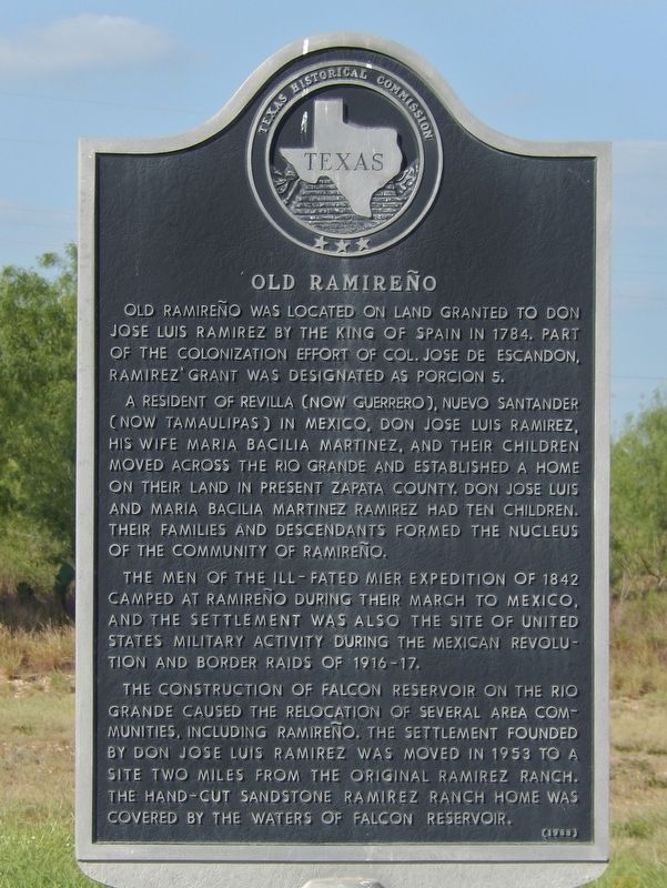
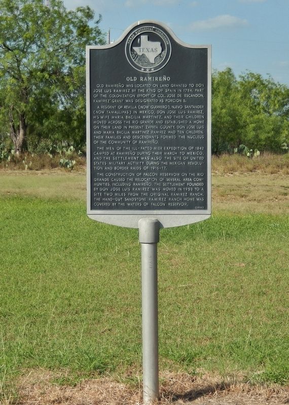
Old Ramireño was located on land granted to Don Jose Luis Ramirez by the King of Spain in 1784. Part of the colonization effort of Col. Jose de Escandon, Ramirez' grant was designated as Porcion 5.
A resident of Revilla (now Guerrero), Nuevo Santander (now Tamaulipas) in Mexico, Don Jose Luis Ramirez, his wife Maria Bacilia Martinez, and their children moved across the Rio Grande and established a home on their land in present Zapata County. Don Jose Luis and Maria Bacilia Martinez had ten children. Their families and descendants formed the nucleus of the community of Ramireño.
The men of the ill-fated Mier Expedition of 1842 camped at Ramireño during their march to Mexico, and the settlement was also the site of United States military activity during the Mexican Revolution and border raids of 1916-17.
The construction of Falcon Reservoir on the Rio Grande caused the relocation of several area communities, including Ramireño. The settlement founded by Don Jose Luis Ramirez was moved in 1953 to a site two miles from the original Ramirez Ranch. The hand-cut sandstone Ramirez ranch home was covered by the waters of Falcon Reservoir.
Erected 1988 by Texas Historical Commission. (Marker Number 3790.)
Topics. This historical marker is listed in these topic lists: Hispanic Americans • Settlements & Settlers • War, Texas Independence. A significant historical year for this entry is 1784.
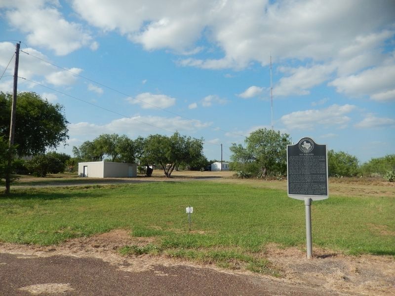
Location. 27° 0.336′ N, 99° 22.967′ W. Marker is near San Ygnacio, Texas, in Zapata County. Marker is on Paisano Street south of Ramirez Avenue, on the right when traveling north. Marker is located on the east side of US Highway 83, along the short, 2-block service road named "Paisano Street," in the tiny town of Ramireño. It is just south of the intersection of Paisano Street and Ramirez Avenue. Ramireño is about four miles southeast of San Ygnacio on US Highway 83. Touch for map. Marker is in this post office area: San Ygnacio TX 78067, United States of America. Touch for directions.
Other nearby markers. At least 2 other markers are within 11 miles of this marker, measured as the crow flies. Mission Revilla a Visita (approx. 10.1 miles away); Old Zapata (approx. 10.2 miles away).
Also see . . .
1. Ramireño, Texas. Originally, Ramireño was two miles south of its current site on the banks of the Rio Grande. The property was granted to José Luis Ramírez in 1784 by the king of Spain. It was not assigned in 1767, when most of the Revilla grants were made, because incursions of Comanche Indians made the area uninhabitable. There were two towns of the same name, one in Starr county and one in Zapata county. They were known locally as Ramireño de Arriba and Ramireño de Abajo. In 1915 a post office was established at the latter town, which to avoid confusion took the name of Falcon for the wife of the Ramírez, a brother of José Luis, on whose land that village was formed. The upper village kept its old name. A historical marker for old Ramireño was placed on Highway 83 in 1989. In 2000 the population was twenty-five. (Submitted on June 29, 2018, by Cosmos Mariner of Cape Canaveral, Florida.)
2. Ramirez ranch home. The Ramirez ranch home, an example of a flat-roofed, Spanish Colonial style house, was built circa 1810 in the rancho area; it was submerged in the reservoir after the Falcon Dam was completed. (Submitted on June 29, 2018, by Cosmos Mariner of Cape Canaveral, Florida.)
Credits. This page was last revised on July 4, 2018. It was originally submitted on June 29, 2018, by Cosmos Mariner of Cape Canaveral, Florida. This page has been viewed 695 times since then and 88 times this year. Photos: 1, 2, 3. submitted on June 29, 2018, by Cosmos Mariner of Cape Canaveral, Florida. • Andrew Ruppenstein was the editor who published this page.


