Plainfield in Will County, Illinois — The American Midwest (Great Lakes)
Great American Crossroads in Illinois
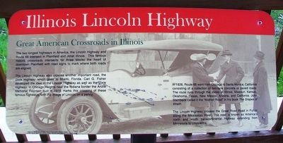
Illinois Lincoln Highway
The two longest highways in America, the Lincoln Highway and Route 66 intersect in Plainfield and Joliet Illinois. This famous historic crossroads intersects for three blocks [in] the heart of downtown Plainfield with road signs to mark where both roads are aligned.
The Lincoln Highway also crosses another important road, the Dixie Highway which goes to Miami, Florida. Carl G. Fisher developed the idea of the Lincoln Highway as well as the Dixie Highway. In Chicago Heights near the Indiana border the Arche Memorial Fountain built in 1916 marks this crossing of these famous highways, with the image of Lincoln on a penny.
In 1926, Route 66 went from Chicago to Santa Monica, California consisting of a collection of two-lane concrete or paved roads. The route runs through the states of Illinois, Missouri, Kansas, Oklahoma, Texas, New Mexico, Arizona, and California. John Steinbeck called it the "Mother Road" in his book The Grapes of Wrath
The Lincoln Highway crosses the Great River Road in Fulton along the Mississippi River. This road is known as America's north and south transcontinental highway extending from Minnesota to Louisiana.
Image: "A. F. Bement and G. S. Hoag in front of official Packard at the end of Hoag's"
Lincoln Highway Digital Image Collection, Special Collections Library, University of Michigan-Ann Arbor.
Erected by Illinois Lincoln Highway Coalition.
Topics and series. This historical marker is listed in this topic list: Roads & Vehicles. In addition, it is included in the Lincoln Highway, and the U.S. Route 66 series lists. A significant historical year for this entry is 1916.
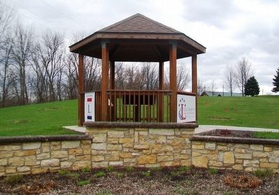
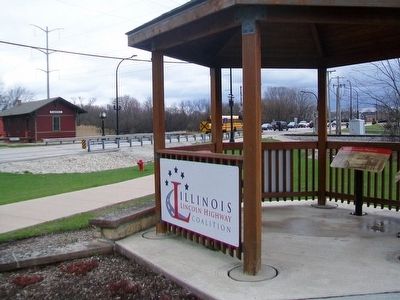
Location. 41° 36.493′ N, 88° 12.713′ W. Marker is in Plainfield, Illinois, in Will County. Marker is at the intersection of Lockport Street (Illinois Route 126) and Wood Farm Road, on the left when traveling west on Lockport Street. Marker kiosk is in Settlers' Park. Touch for map. Marker is at or near this postal address: 24401 Lockport Street, Plainfield IL 60544, United States of America. Touch for directions.
Other nearby markers. At least 8 other markers are within walking distance of this marker. The Lincoln Highway - The nation's first coast-to-coast highway! (here, next to this marker); Interurban Transportation (here, next to this marker); Village of Plainfield (here, next to this marker); E J & E Depot No. 4 (within shouting distance of this marker); Boxcars (about 300 feet away, measured in a direct line); Caboose (about 300 feet away); Electric Park (about 600 feet away); Brownson-Martin House (approx. ¼ mile away). Touch for a list and map of all markers in Plainfield.
Also see . . .
1. Drive the Historic Illinois Lincoln Highway / History and Attractions. Trips into History website entry (Submitted on August 21, 2021, by Larry Gertner of New York, New York.)
2. The Lincoln Highway Association. Association website homepage (Submitted on April 24, 2016, by William Fischer, Jr. of Scranton, Pennsylvania.)
3. The Lincoln Highway. Federal Highway Administration website entry (Submitted on April 24, 2016, by William Fischer, Jr. of Scranton, Pennsylvania.)
4. Historic Route 66. Website homepage (Submitted on April 24, 2016, by William Fischer, Jr. of Scranton, Pennsylvania.)
5. Dixie Highway Association. Tennessee Historical Society website entry (Submitted on April 24, 2016, by William Fischer, Jr. of Scranton, Pennsylvania.)
6. Great River Road - Illinois. Road trip homepage (Submitted on April 24, 2016, by William Fischer, Jr. of Scranton, Pennsylvania.)
Credits. This page was last revised on August 21, 2021. It was originally submitted on April 24, 2016, by William Fischer, Jr. of Scranton, Pennsylvania. This page has been viewed 402 times since then and 46 times this year. Last updated on July 9, 2018, by Craig Baker of Sylmar, California. Photos: 1, 2, 3. submitted on April 24, 2016, by William Fischer, Jr. of Scranton, Pennsylvania. • Syd Whittle was the editor who published this page.


