Weston in Lewis County, West Virginia — The American South (Appalachia)
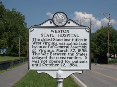
Weston State Hospital
The oldest State institution in West Virginia was authorized by an act of General Assembly of Virginia, March 22, 1858. The War Between the States delayed construction. It was not opened for patients until October 22, 1864.
Erected 1965 by West Virginia Historic Commission.
Topics and series. This historical marker is listed in this topic list: Science & Medicine. In addition, it is included in the West Virginia Archives and History series list. A significant historical date for this entry is March 22, 1858.
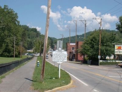
Location. 39° 2.364′ N, 80° 28.128′ W. Marker is in Weston, West Virginia, in Lewis County. Marker is at the intersection of West 2nd Street (U.S. 33) and South River Road on West 2nd Street. Touch for map. Marker is in this post office area: Weston WV 26452, United States of America. Touch for directions.
Other nearby markers. At least 8 other markers are within walking distance of this marker. West Virginia & Pittsburg Railroad Depot - Hales Emporium (a few steps from this marker); Welcome To Historic Downtown Weston (within shouting distance of this marker); The Second Street Bridge (within shouting distance of this marker); Lewis County World War Veterans Memorial (about 300 feet away, measured in a direct line); Staunton And Parkersburg Turnpike (about 300 feet away); Historic Edmiston-Ralston Building (about 600 feet away); a different marker also named Weston State Hospital (about 700 feet away); Fairland Nickelodeon And Bank Alley (about 700 feet away). Touch for a list and map of all markers in Weston.
Regarding Weston State Hospital. The hospital was closed in 1994 and quickly fell into disrepair. It was purchased in 2007 to a businessman who plans to turn the buildings and grounds into a resort. Meanwhile he has opened the hospital to the public to tour ($30 entry fee), calling it the Trans-Allegheny Lunatic Asylum.
Also see . . . Trans-Allegheny Lunatic Asylum - History - The Civil War. Website entry:
“The partially built Asylum and surrounding grounds became Camp Tyler, establishing Weston as an important military post, vital to the control of the well-traveled roads in the area. The completed southern wing
of the asylum provided barracks and the main foundation served as a stable. Control of the area would change hands several times during the war.” (Submitted on October 5, 2008.)

Photographed By J. J. Prats, July 15, 2008
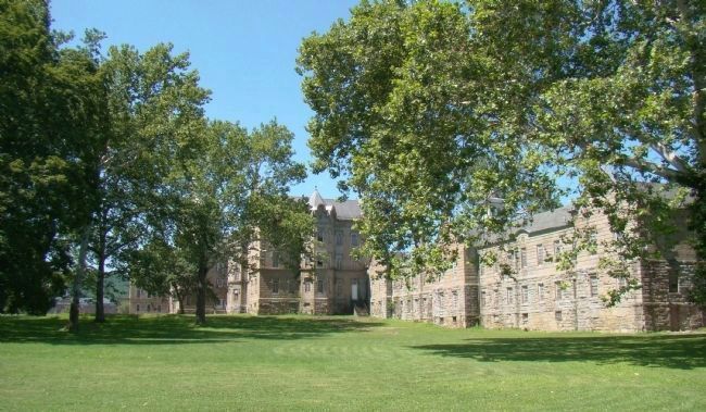
3. Weston State Hospital
This view is from the marker. Building faces to the left, and the clock tower is hiding above the trunk of the tree at center left. Check out the photo on the nearby marker with the same name for a front view of this very large building.
Credits. This page was last revised on August 3, 2023. It was originally submitted on October 5, 2008, by J. J. Prats of Powell, Ohio. This page has been viewed 1,782 times since then and 19 times this year. Photos: 1, 2, 3. submitted on October 5, 2008, by J. J. Prats of Powell, Ohio.

