Lead in Lawrence County, South Dakota — The American Midwest (Upper Plains)
City Hall and Masonic Temple
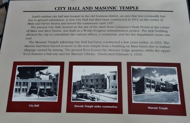
Lead's earliest city hall was located in the old business district, an area that was eventually lost due to ground subsidence. A new City Hall had then been constructed in 1912 on the corner of Main and Siever Streets and served the community until 1937.
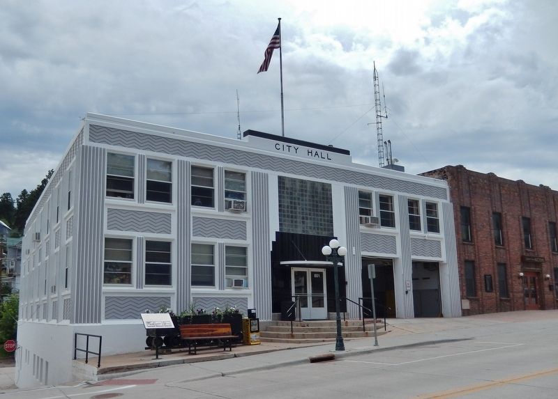
The present City Hall, located on the site of the Alert Hose Company's Hose House at the corner of Main and Alert Streets, was built as a Works Progress Administration project. The new building allowed the city to consolidate the various offices, a courtroom, and the fire department under one roof.
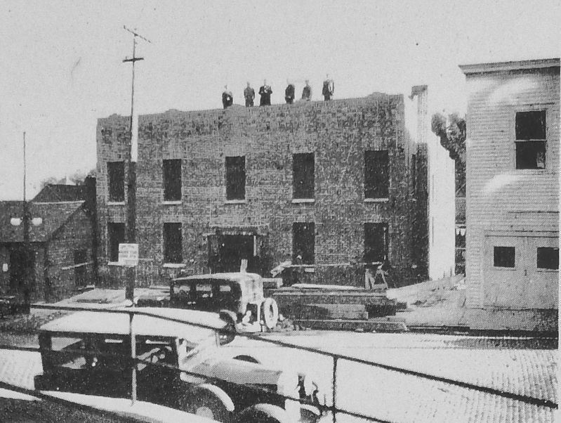
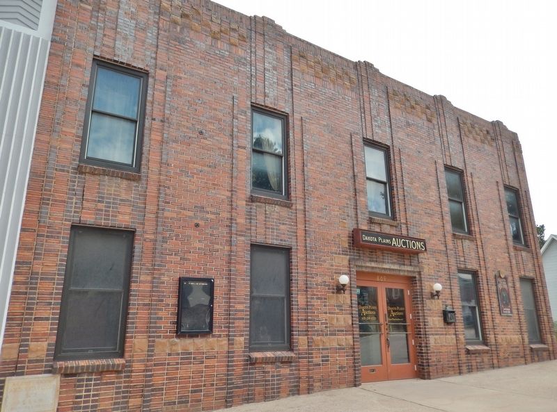
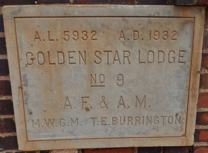
The Masonic Temple adjoining City Hall had been constructed a few years earlier, in 1933. The Masons had been forced to move to the new temple from a building on Main Street due to surface slippage caused by mining. The ground floor houses the Masonic lodge quarters, while the upper level features a balcony and the Masonic Library. (Dedicated February 4, 1933)
Topics and series. This historical marker is listed in these topic lists: Charity & Public Work • Fraternal or Sororal Organizations • Man-Made Features. In addition, it is included in the Works Progress Administration (WPA) projects series list.
Location. 44° 21.059′ N, 103° 46.35′ W. Marker is in Lead, South Dakota, in Lawrence County. Marker is at the intersection of West Main Street (CanAm Highway) (U.S. 85) and Alert Street, on the right when traveling east on West Main Street (CanAm Highway). Marker is located on the sidewalk, directly in front of Lead City Hall, near the northeast corner of the building. Touch for map. Marker is at or near this postal address: 801 West Main Street, Lead SD 57754, United States of America. Touch for directions.
Other nearby markers. At least 8 other markers are within walking distance of this marker. Christ Episcopal Church and Grier Statue (about 300 feet away, measured in a direct line); Thomas Johnston Grier (about 400 feet away); The Glover House (about 600 feet away); Dakota Rebekah Lodge (approx. 0.2 miles away); United States Post Office (approx. ¼ mile away); Compressed Air Locomotive #9 (approx. ¼ mile away); Overshot Mucker (approx. ¼ mile away); Battery Locomotive (approx. ¼ mile away). Touch for a list and map of all markers in Lead.
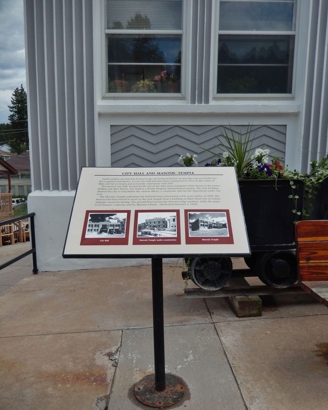
More about this marker. Marker is a large composite plaque, mounted horizontally on a waist-high post.
Regarding City Hall and Masonic Temple. Included within the Lead Historic District, National Register of Historic Places (1974)
Related markers. Click here for a list of markers that are related to this marker. Lead City Hall
Also see . . . Lead Historic Walking Tour. City website PDF (Submitted on February 23, 2024, by Larry Gertner of New York, New York.)
Credits. This page was last revised on February 23, 2024. It was originally submitted on August 11, 2018, by Cosmos Mariner of Cape Canaveral, Florida. This page has been viewed 191 times since then and 21 times this year. Photos: 1, 2, 3, 4, 5, 6. submitted on August 12, 2018, by Cosmos Mariner of Cape Canaveral, Florida. 7. submitted on August 14, 2018, by Cosmos Mariner of Cape Canaveral, Florida. • Bill Pfingsten was the editor who published this page.
