Near Newborn in Jasper County, Georgia — The American South (South Atlantic)
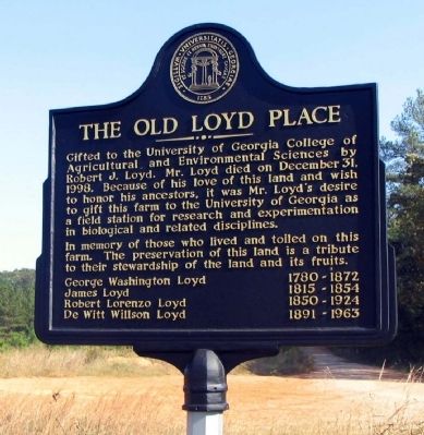
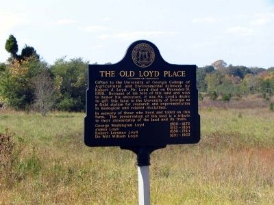
The Old Loyd Place
In memory of those who loved and toiled on this farm. The preservation of this land is a tribute to their stewardship of the land and its fruits.
George Washington Loyd 1780 - 1872
James Loyd 1815 - 1854
Robert Lorenzo Loyd 1850-1924
De Witt Willson Loyd 1891-1963
Topics. This historical marker is listed in these topic lists: Agriculture • Education • Settlements & Settlers. A significant historical date for this entry is December 31, 1998.
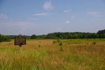
Location. 33° 30.677′ N, 83° 41.038′ W. Marker is near Newborn, Georgia, in Jasper County. Marker is at the intersection of Main Street (Georgia Route 142) and Old Broughton Road, on the right when traveling west on Main Street. Touch for map. Marker is in this post office area: Newborn GA 30056, United States of America. Touch for directions.
Other nearby markers. At least 8 other markers are within 9 miles of this marker, measured as the crow flies. Newborn (approx. half a mile away); Mansfield's Famous Southpaw (approx. 2.9 miles away); Mansfield's First School (approx. 2.9 miles away); Reese (approx. 4 miles away); Pennington (approx. 7.1 miles away); Old Starrsville Store (approx. 7.2 miles away); Brick Store (approx. 7.2 miles away); Antioch Baptist Church (approx. 8.1 miles away).
Credits. This page was last revised on April 18, 2021. It was originally submitted on October 8, 2008, by David Seibert of Sandy Springs, Georgia. This page has been viewed 1,629 times since then and 60 times this year. Photos: 1, 2. submitted on October 8, 2008, by David Seibert of Sandy Springs, Georgia. 3. submitted on June 23, 2009, by David Seibert of Sandy Springs, Georgia. • Kevin W. was the editor who published this page.


