Climax in Lake County, Colorado — The American Mountains (Southwest)
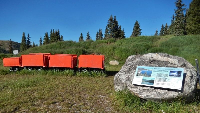
Water Treatment Protects Downstream Users
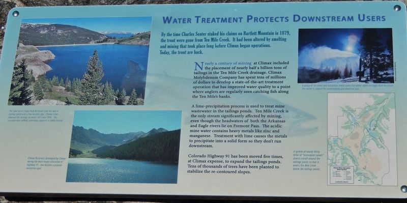
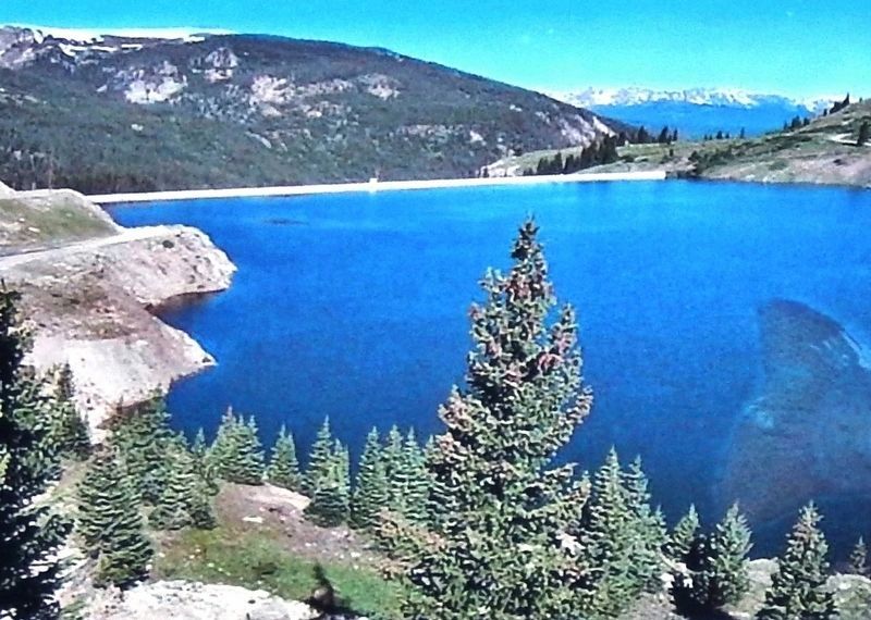
Nearly a century of mining at Climax included the placement of nearly half a billion tons of tailings in the Ten Mile Creek drainage. Climax Molybdenum Company has spent tens of millions of dollars to develop a state-of-the-art treatment operation that has improved water quality to a point where anglers are regularly seen catching fish along the Ten Mile's banks.
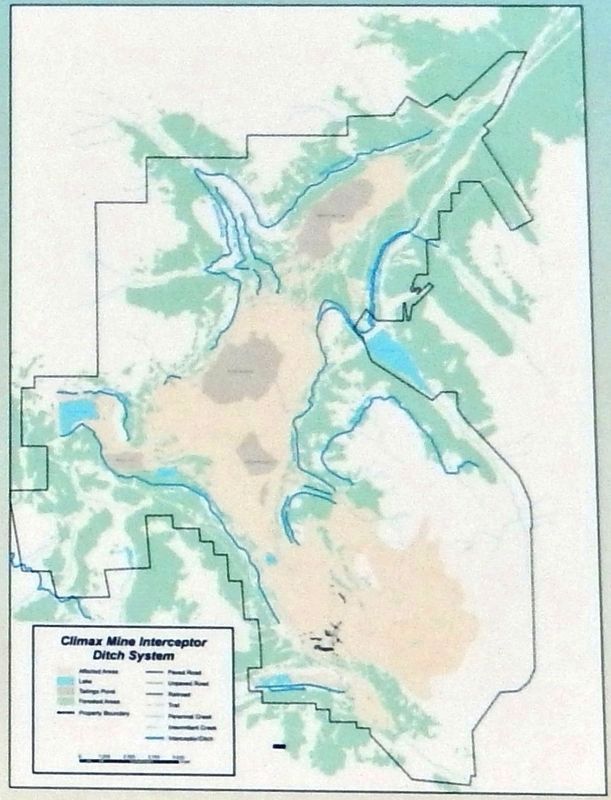
A lime-precipitation process is used to treat mine wastewater in the tailings ponds. Ten Mile Creek is the only stream significantly affected by mining, even though the headwaters of both the Arkansas and Eagle rivers lie on Fremont Pass. The acidic mine water contains heavy metals like zinc and manganese. Treatment with lime causes the metals to precipitate into a solid form so they don't run downstream.
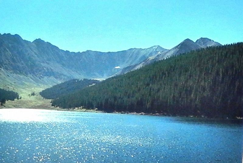
Colorado Highway 91 has been moved five times, at Climax expense, to expand the tailings ponds. Tens of thousands of trees have been planted to stabilize the re-contoured slopes.
Erected by Climax Molybdenum Company & the Federal Highway Administration.
Topics. This historical marker is listed in these topic lists: Industry & Commerce • Natural Resources • Parks & Recreational Areas.
Location. 39° 22.039′ N, 106° 11.318′ W. Marker is in Climax, Colorado, in Lake County. Marker can be reached from Colorado Route 91, 11 miles south of Interstate 70, on the right when traveling south. Marker is located on the west side of Colorado Highway 91, at the summit of Fremont Pass, directly across from the Climax Molybdenum Mine, within a small park containing historical markers and mining exhibits. Touch for map. Marker is in this post office area: Climax CO 80429, United States of America. Touch for directions.
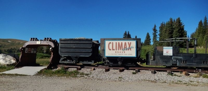
Other nearby markers. At least 8 other markers are within walking distance of this marker. The Highest Compost Pile in the World (here, next to this marker); The Big Shot (a few steps from this marker); Skiing on Top of the World (a few steps from this marker); More Than Just a Mine (a few steps from this marker); Top Secret (a few steps from this marker); Welcome to Climax! (within shouting distance of this marker); Climax (within shouting distance of this marker); Life on the High Line (within shouting distance of this marker). Touch for a list and map of all markers in Climax.
More about this marker. Marker is a large composite plaque, mounted on a large boulder.
Related markers. Click here for a list of markers that are related to this marker. Climax Historical Park
Also see . . .
1. Environmental impact apparent on Fremont Pass. Since the late 1870s, miners have worked the area. The Climax Molybdenum Mine located here was once the world’s leading producer of molybdenum, accounting for 75 percent of the world’s supply. Below the pass, in the Ten Mile Valley, you can see the waste from 400 million tons of molybdenite ore that have been mined from this area. About 99 percent of the mined material is not used, and it now fills three huge tailings ponds. (Submitted on September 2, 2018, by Cosmos Mariner of Cape Canaveral, Florida.)
2. Climax mine. The prospector Charles Senter discovered and claimed the outcropping of molybdenite (molybdenum sulfide) veins in 1879, during the Leadville, Colorado Silver Boom, but he had no idea what the mineral he found was. Senter quickly determined that the rock contained no gold or silver, but he kept the claims anyway. The following year he settled down to live with his Ute Indian wife in a cabin a few miles north, and he made a living working a nearby gold placer. Each year he faithfully did the assessment work required to keep his lode claims, convinced that his mystery mineral must be worth something
and in 1918 Senter finally received $40,000 for his mining claims and "settled into a comfortable retirement in Denver." (Submitted on September 2, 2018, by Cosmos Mariner of Cape Canaveral, Florida.)
Credits. This page was last revised on October 29, 2020. It was originally submitted on September 1, 2018, by Cosmos Mariner of Cape Canaveral, Florida. This page has been viewed 268 times since then and 33 times this year. Photos: 1, 2, 3, 4, 5, 6. submitted on September 2, 2018, by Cosmos Mariner of Cape Canaveral, Florida. • Andrew Ruppenstein was the editor who published this page.
