Climax in Lake County, Colorado — The American Mountains (Southwest)
Highway in the Sky
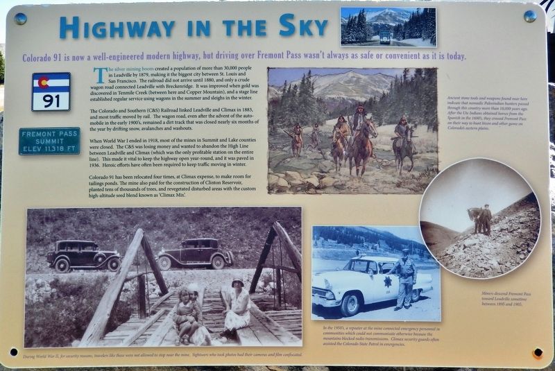
The silver mining boom created a population of more than 30,000 people in Leadville by 1879, making it the biggest city between St. Louis and San Francisco. The railroad did not arrive until 1880, and only a crude wagon road connected Leadville with Breckenridge. It was improved when gold was discovered in Tenmile Creek (between here and Copper Mountain), and a stage line established regular service using wagons in the summer and sleighs in the winter.
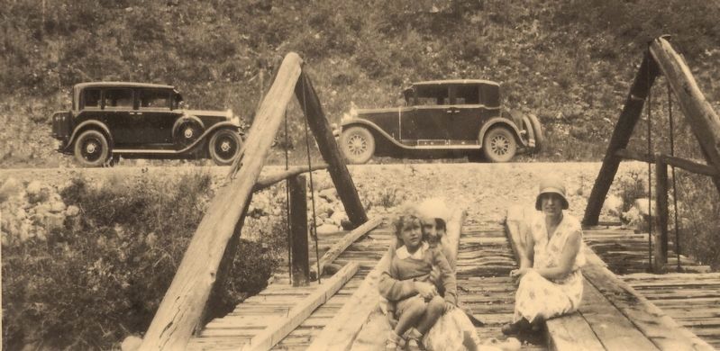
The Colorado and Southern (C&S) Railroad linked Leadville and Climax in 1883, and most traffic moved by rail. The wagon road, even after the advent of the auto-mobile in the early 1900's, remained a dirt track that was closed nearly six months of the year by drifting snow, avalanches and washouts.
When World War I ended in 1918, most of the mines in Summit and Lake counties were dosed. The C&S was losing money and wanted to abandon the High Line between Leadville and Climax (which was the only profitable station on the entire line). This made it vital to keep the highway open year-round, and it was paved in 1936. Heroic efforts have often been required to keep traffic moving in winter.
Colorado 91 has been relocated four times, at Climax expense, to make room for tailings ponds. The mine also paid for the construction of Clinton Reservoir, planted tens of thousands of trees, and revegetated disturbed areas with the custom high-altitude seed blend known as “Climax Mix.”
Erected by Climax Molybdenum Company & the Federal Highway Administration.
Topics. This historical marker is listed in these topic lists: Industry & Commerce • Roads & Vehicles.
Location. 39° 22.053′ N, 106° 11.308′ W. Marker is in Climax, Colorado, in Lake County. Marker can be reached from State Highway 91, 11 miles south of Interstate 70, on the right when traveling south. Marker is located on the west side of Colorado Highway 91, at the summit of Fremont Pass, directly across from the Climax Molybdenum Mine, within a small park containing historical markers and mining exhibits. Touch for map. Marker is in this post office area: Climax CO 80429, United States of America. Touch for directions.
Other nearby markers. At least 8 other markers are within walking distance of this marker. Life on the High Line (here, next to this marker); Welcome to Climax! (a few steps from this marker); The Big Shot (a few steps from this marker); Skiing on Top of the World (a few steps from this marker); More Than Just a Mine (a few steps

2. Marker detail: Ute Indians obtained horses from the Spanish in the 1600's
Ancient stone tools and weapons found near here indicate that nomadic Paleoindian hunters passed through this country more than 10,000 years ago. After the Ute Indians obtained horses from the Spanish in the 1600's, they crossed Fremont Pass on their way to hunt bison and other game on Colorado's eastern plains.
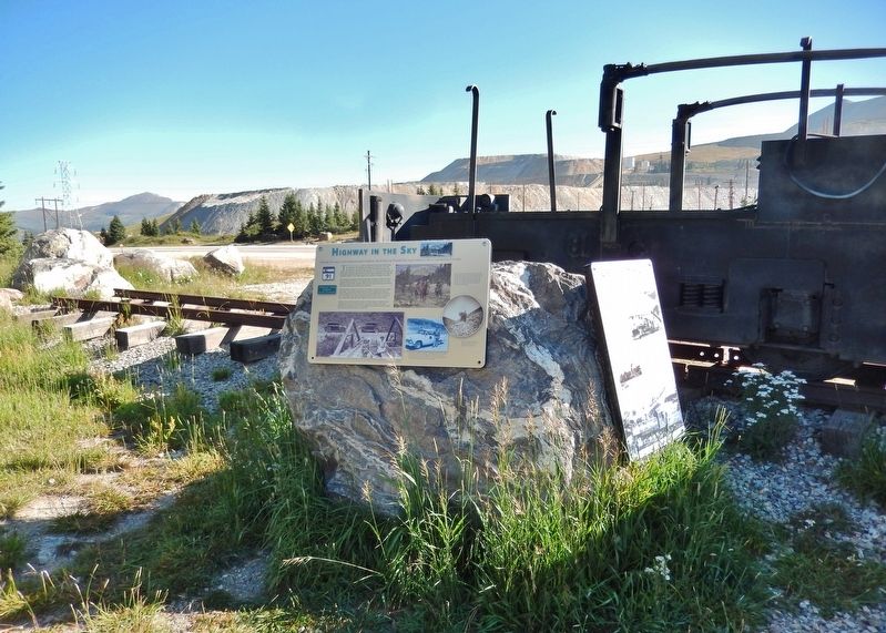
More about this marker. Marker is a large composite plaque, mounted on a large boulder.
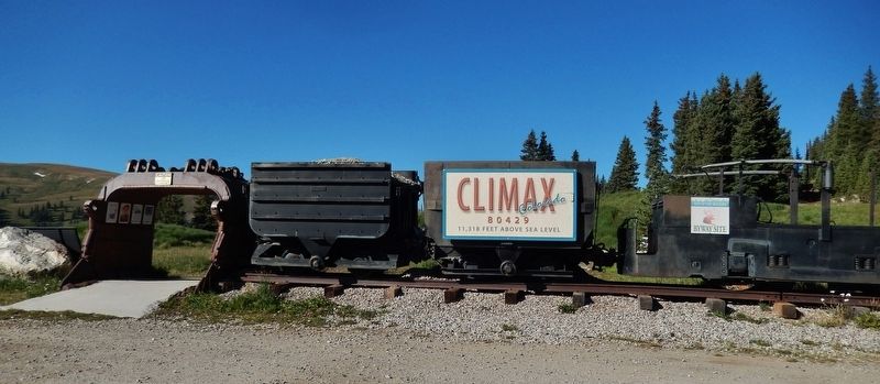
Related markers. Click here for a list of markers that are related to this marker. Climax Historical Park
Also see . . .
1. The Colorado Silver Boom. The boom started in 1879, with the discovery of the lode at Leadville, which delivered over 82 million dollars worth silver during the silver boom. The boom was largely the consequence of large scale purchases of silver by the United States Government authorized by Congress in 1878. The boom endured throughout the 1880s, resulting in an intense increase in both the population and wealth of Colorado, especially in the mountain valleys. It came to a cataclysmic end in 1893 in the wake of the collapse of silver prices caused by the repeal of Sherman Silver Purchase Act. (Submitted on September 2, 2018, by Cosmos Mariner of Cape Canaveral, Florida.)
2. Colorado and Southern (C&S) Railroad
. The Colorado and Southern narrow gauge was slowly abandoned piece by piece for 33 years between 1910 and 1943.
Times were tough during the Great depression and by the end the narrow gauge was worn out. What was left of the former Denver South Park & Pacific, between Denver and Leadville, was removed in the Summer of 1938 excluding a short 14 mile segment between Leadville and Climax, Colorado and Denver and Waterton, Colorado.
The last narrow gauge operation between Leadville and the Climax mines was converted to standard gauge due to heavy traffic from World War II. The last Colorado and Southern narrow gauge train, pulled by engine 76, ran the 28 mile roundtrip on August 25, 1943. The next day standard gauge trains began hauling the load. The C&S narrow gauge was now part of history. (Submitted on September 2, 2018, by Cosmos Mariner of Cape Canaveral, Florida.)
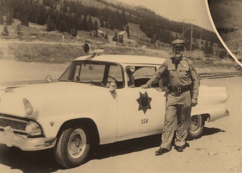
4. Marker detail: Colorado State Patrol, circa 1950s
In the 1950's, a repeater at the mine connected emergency personnel in communities which could not communicate otherwise because the mountains blocked radio transmissions. Climax security guards often assisted the Colorado State Patrol in emergencies.
Credits. This page was last revised on September 6, 2018. It was originally submitted on September 2, 2018, by Cosmos Mariner of Cape Canaveral, Florida. This page has been viewed 301 times since then and 34 times this year. Photos: 1, 2, 3, 4, 5, 6. submitted on September 2, 2018, by Cosmos Mariner of Cape Canaveral, Florida. • Andrew Ruppenstein was the editor who published this page.
