Near Long Bottom in Meigs County, Ohio — The American Midwest (Great Lakes)
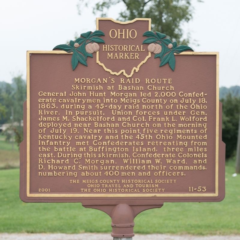
Morganís Raid Route
Skirmish at Bashan Church
Erected 2001 by the Meigs County Historical Society, Ohio Travel and Tourism, and The Ohio Historical Society. (Marker Number 11-53.)
Topics and series. This historical marker is listed in this topic list: War, US Civil. In addition, it is included in the Ohio Historical Society / The Ohio History Connection series list. A significant historical date for this entry is July 18, 1863.
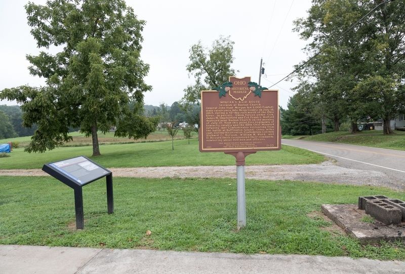
Location. 39° 2.591′ N, 81° 51.916′ W. Marker is near Long Bottom, Ohio, in Meigs County. Marker is at the intersection of Racine-Bashan Road (County Road 28) and Eagle Ridge Road (County Road 32), on the right when traveling north on Racine-Bashan Road. It is at the Bashan Volunteer Fire Department Station No. 7. Touch for map. Marker is at or near this postal address: 33380 Racine-Bashan Rd, Long Bottom OH 45743, United States of America. Touch for directions.
Other nearby markers. At least 8 other markers are within 5 miles of this marker, measured as the crow flies. Bashan (here, next to this marker); George Washington (approx. 3.2 miles away); Morgan's Raid Route / Chester Village Commons (approx. 4.3 miles away); Veterans of Foreign Wars Post 9053 Memorial (approx. 4.3 miles away); Chester (approx. 4.3 miles away); Never Forget Garden (approx. 4.3 miles away); Chester Civil War Memorial (approx. 4.4 miles away); Chester Academy (approx. 4.4 miles away). Touch for a list and map of all markers in Long Bottom.
Credits. This page was last revised on September 2, 2018. It was originally submitted on September 2, 2018, by J. J. Prats of Powell, Ohio. This page has been viewed 358 times since then and 37 times this year. Photos: 1, 2. submitted on September 2, 2018, by J. J. Prats of Powell, Ohio.

