The Childs-Irving Project-Hydroelectric Project
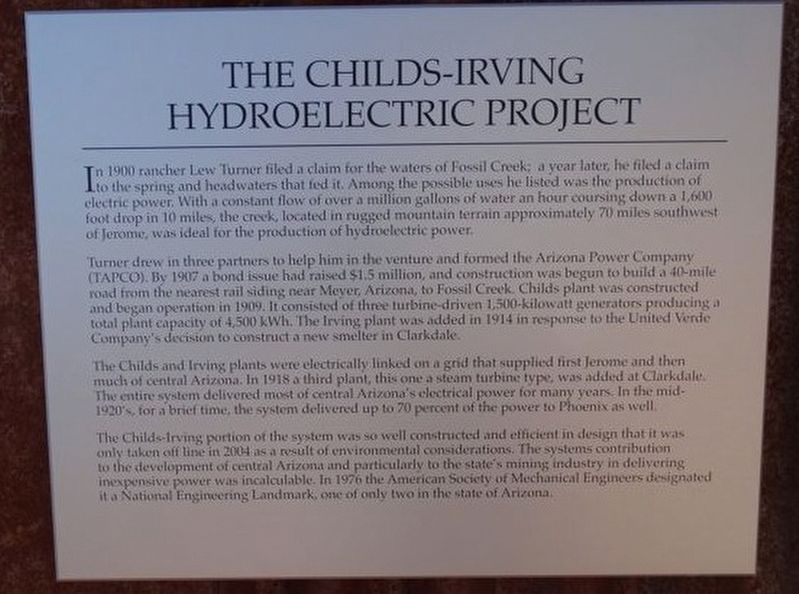
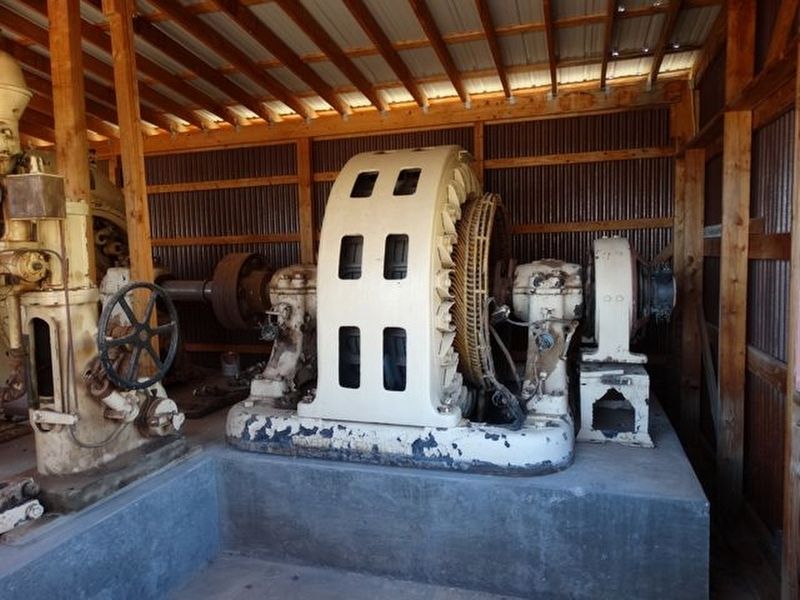
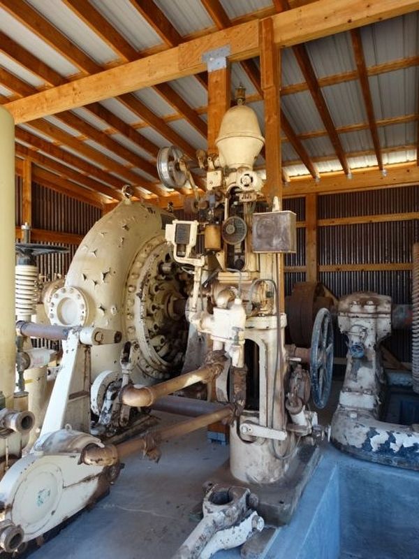
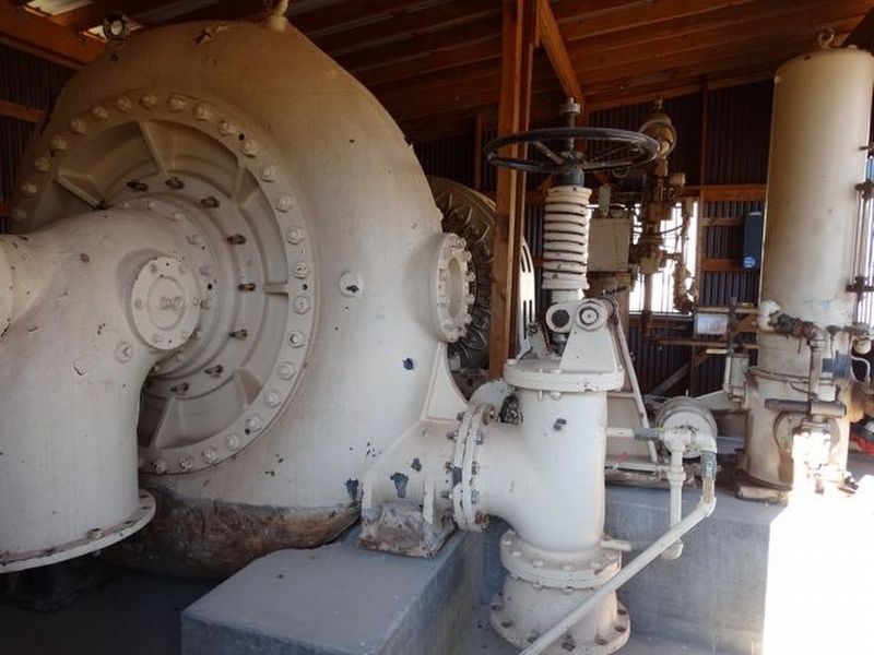
Turner drew in three partners to help him in the venture and formed the Arizona Power Company (TAPCO). By 1907 a bond issue had raised $1.5 million, and construction was begun to build a 40-mile road from the nearest rail siding near Meyer, Arizona, to Fossil Creek. Childs plant was constructed and began operation in 1909. It consisted of three turbine-driven 1,500-kilowatt generators producing a total plant capacity of 4,500 kWh. The Irving plant was added in 1914 in response to the United Verde Company’s decision to construct a new smelter in Clarkdale.
The Childs and Irving plants were electrically linked on a grid that supplied first Jerome and then
this page online
The Childs-Irving portion of the system was so well constructed and efficient in design that it was only taken off line in 2004 as result of environmental considerations. The systems contribution to the development of central Arizona and particularly to the state’s mining industry in delivering inexpensive power was incalculable. In 1976 the American Society of Mechanical Engineers designated it a National Engineering Landmark, one of only two in the state of Arizona.
Erected by Jerome Historical Society.
Topics. This historical marker is listed in this topic list: Industry & Commerce. A significant historical year for this entry is 1900.
Location. 34° 45.224′ N, 112° 6.754′ W. Marker is in Jerome, Arizona, in Yavapai County. It is on N. Jerome State Mine Museum Road, on the left when traveling west. Located in the Audrey Headframe Park

Regionally, this marker is in Verde Valley. It is also in the American Southwest and in the Mountain West. Globally, it is in North America, the Western Hemisphere, the Western World, and the Anglosphere. Historically, it finds itself in what was once New Spain and also Mexico’s Alta California.
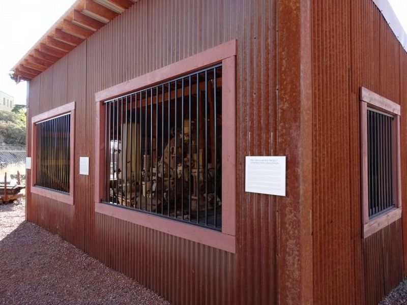
Other nearby markers. At least 8 other markers are within walking distance of this marker: The Childs-Irving Project - Construction Challenges (here, next to this marker); The Irving Turbine and Generator (here, next to this marker); The Audrey Shaft and UVX Operations (a few steps from this marker); Historic Audrey Shaft Headframe (a few steps from this marker); Jerome's Famous Sliding Jail (approx. ¼ mile away); Whitten Printers (approx. ¼ mile away); The Svob Family (approx. ¼ mile away); Hotel Connor (approx. ¼ mile away). Touch for a list and map of all markers in Jerome.
Credits. This page was last revised on September 8, 2018. It was originally submitted on September 3, 2018, by Denise Boose of Tehachapi, California. This page has been viewed 930 times since then and 65 times this year. Photos: 1, 2, 3, 4, 5. submitted on September 3, 2018, by Denise Boose of Tehachapi, California. • Andrew Ruppenstein was the editor who published this page.
