Vint Hill Farms in Fauquier County, Virginia — The American South (Mid-Atlantic)
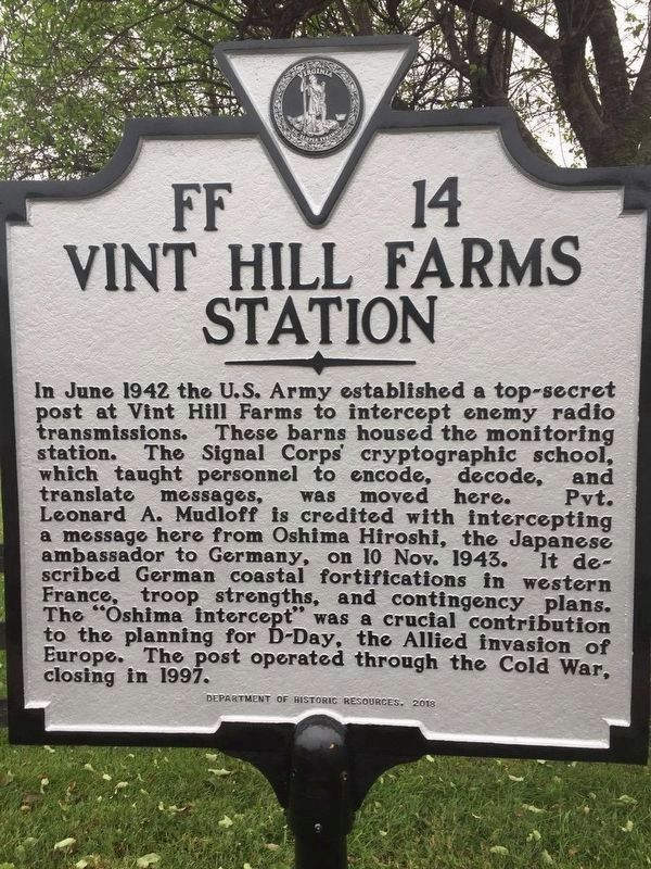
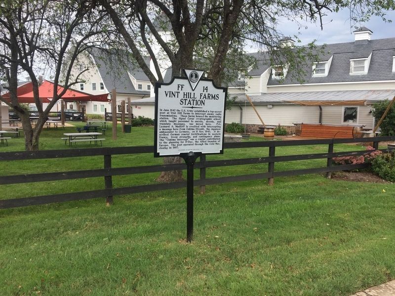
Vint Hill Farms Station
Erected 2018 by Department of Historic Resources. (Marker Number FF-14.)
Topics and series. This historical marker is listed in these topic lists: Science & Medicine • War, World II. In addition, it is included in the Virginia Department of Historic Resources (DHR) series list. A significant historical month for this entry is June 1942.
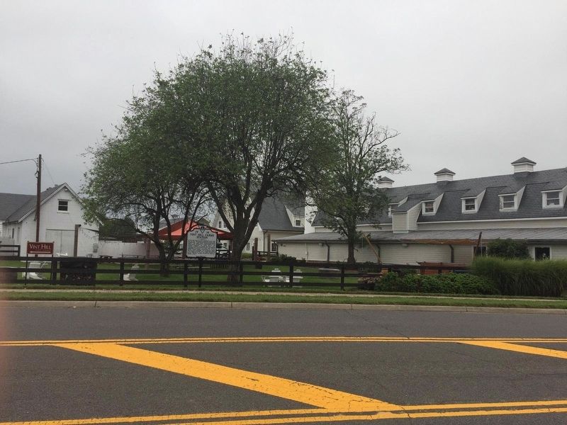
Location. 38° 44.556′ N, 77° 40.544′ W. Marker is in Vint Hill Farms, Virginia, in Fauquier County. Marker is at the intersection of Farm Station Road and Lineweaver Road, on the right when traveling south on Farm Station Road. Touch for map. Marker is in this post office area: Warrenton VA 20187, United States of America. Touch for directions.
Other nearby markers. At least 8 other markers are within 3 miles of this marker, measured as the crow flies. Grapewood Farm Engagement (approx. 0.6 miles away); Greenwich (approx. 1.6 miles away); Stony Lonesome Farm (approx. 1.6 miles away); a different marker also named “Greenwich” (approx. 1.6 miles away); Buckland Mills Battle (approx. 2.4 miles away); Buckland (approx. 2.6 miles away); The Buckland Mill (approx. 2.7 miles away); Second Manassas Campaign (approx. 2.8 miles away).
Also see . . . Marking the history at Vint Hill. An article about the marker's dedication by James Ivancic in the Fauquier Times. (Submitted on September 14, 2018, by Kevin W. of Stafford, Virginia.)

Photographed By Craig Swain, September 22, 2018
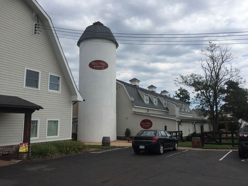
4. The "Barn's Silo"
For security, some of the station's offices were disguised as a barn. The silo appears to be a normal silo from a distance. But notice the chimney at the top. This was the chimney used by the incinerator used to burn classified documents.
Credits. This page was last revised on October 8, 2018. It was originally submitted on September 14, 2018, by Kevin W. of Stafford, Virginia. This page has been viewed 728 times since then and 40 times this year. Photos: 1, 2. submitted on September 14, 2018, by Kevin W. of Stafford, Virginia. 3, 4. submitted on October 8, 2018, by Craig Swain of Leesburg, Virginia.


