Plaine Hill
Woodstock Tercentenary (1686 - 1986)
Front
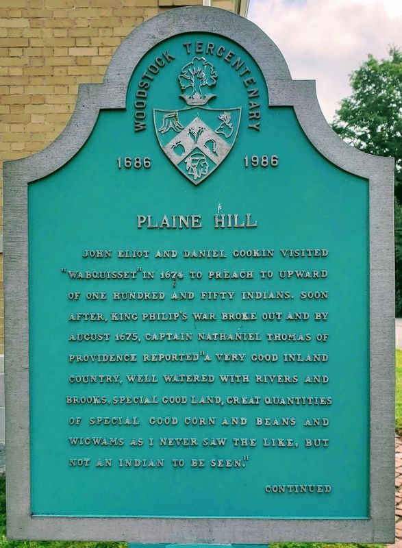
John Eliot and Daniel Gookin visited “Wabquisset” in 1674 to preach to upward of one hundred and fifty Indians. Soon after, King Philip''s war broke out and by August 1675, Captain Nathaniel Thomas of Providence reported “A very good inland country, well watered with rivers and brooks. special good land, great quantities of special good corn and beans and wigwams as I never saw the like, but not an Indian to be seen."
Back
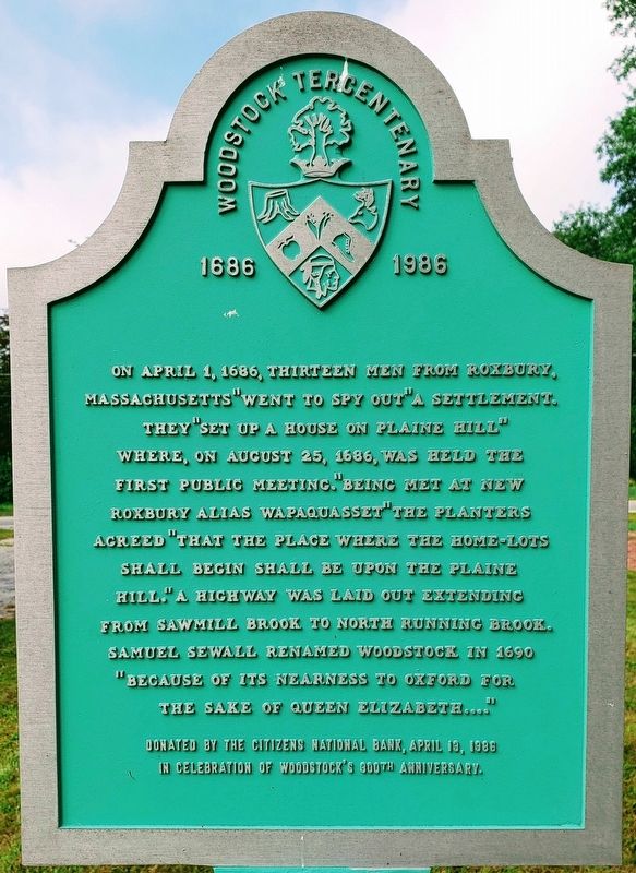
On April 1, 1686, thirteen men from Roxbury,
Massachusetts “Went to spy out” a settlement.
They “Set up a house on Plaine Hill”
where, on August 25, 1686, was held the
first public meeting. “Being met at New
Roxbury alias Wapaquasset” the planters
agreed “that the place where home-lots
shall begin shall be upon the Plaine
Hill,” A high way was laid out extending
from Sawmill Brooke to North Running Brook.
Samuel Sewall renamed Woodstock in 1690
“Because of its nearness to Oxford for
the sake of Queen Elizabeth....”
Donated by the Citizens National Bank, April 13, 1986
in celebration of Woodstock’s 300th anniversary.
Erected 1986 by Woodstock Tercentenary Committee.
Topics. This historical marker is listed in these topic lists:
Location. 41° 56.836′ N, 71° 58.399′ W. Marker is in Woodstock, Connecticut, in Windham County. Marker is on Route 169. Touch for map. Marker is at or near this postal address: 523 CT-169, Woodstock CT 06281, United States of America. Touch for directions.
Other nearby markers. At least 8 other markers are within walking distance of this marker. Town of Woodstock War Memorial I (about 700 feet away, measured in a direct line); Town of Woodstock War Memorials (about 800 feet away); Henry C. Bowen House (approx. 0.2 miles away); Woodstock (approx. 0.2 miles away); The Woodstock Academy (approx. ¼ mile away); Pulpit Rock Road (approx. 0.3 miles away); Quasset School (approx. 0.6 miles away); South Woodstock (approx. 0.9 miles away). Touch for a list and map of all markers in Woodstock.
Credits. This page was last revised on September 24, 2018. It was originally submitted on September 19, 2018. This page has been viewed 218 times since then and 23 times this year. Photos: 1, 2, 3. submitted on September 19, 2018. • Bill Pfingsten was the editor who published this page.


