Calhoun in McLean County, Kentucky — The American South (East South Central)
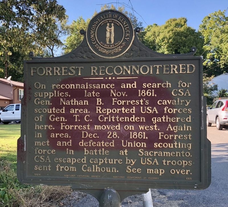
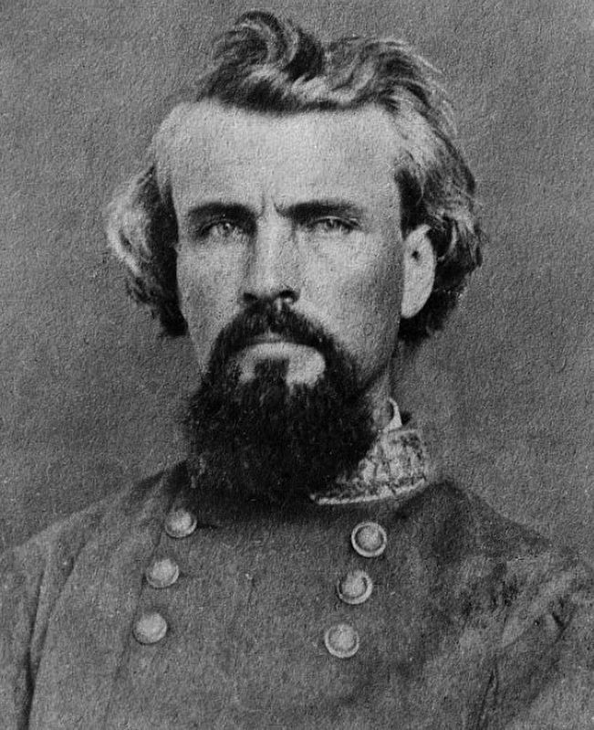
Forrest Reconnoitered
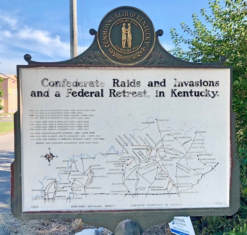
Reverse side map of: Confederate Raids and Invasions and a Federal Retreat, in Kentucky.
Erected 1964 by Kentucky Historical Society, Kentucky Department of Highways. (Marker Number 665.)
Topics and series. This historical marker is listed in this topic list: War, US Civil. In addition, it is included in the Kentucky Historical Society series list. A significant historical month for this entry is October 1861.
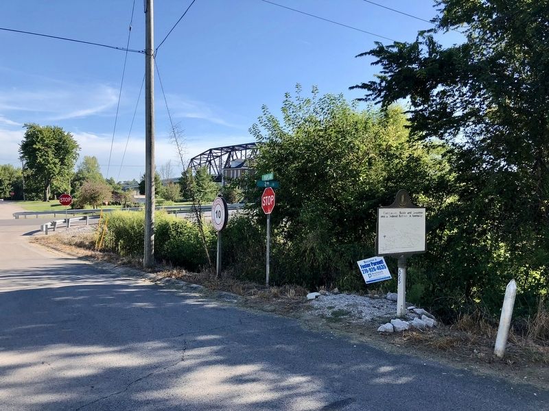
Location. 37° 32.2′ N, 87° 15.645′ W. Marker is in Calhoun, Kentucky, in McLean County. Marker is at the intersection of Poplar Street and West 2nd Street, on the right when traveling south on Poplar Street. Touch for map. Marker is at or near this postal address: 210 West 2nd Street, Calhoun KY 42327, United States of America. Touch for directions.
Other nearby markers. At least 8 other markers are within 9 miles of this marker, measured as the crow flies. Camp Calhoun (about 400 feet away, measured in a direct line); Camp Calhoun Cemetery (about 400 feet away); County Named / Calhoun (about 800 feet away); McLean County War Memorial (approx. 0.9 miles away); Charles Hansford / Charles Hansford (1759-1850) (approx. 0.9 miles away); Union Camp Site / McLean County Recruits, Co. D 35 Regt. KY. Vol. Mounted Inf. (approx. 6 miles away); Livermore Bridge (approx. 7.8 miles away); William Worthington (1761-1848) (approx. 9 miles away). Touch for a list and map of all markers in Calhoun.
Also see . . . Explore Kentucky History on Forrest Reconnoitered. (Submitted on September 19, 2018, by Mark Hilton of Montgomery, Alabama.)
Credits. This page was last revised on September 20, 2018. It was originally submitted on September 19, 2018, by Mark Hilton of Montgomery, Alabama. This page has been viewed 249 times since then and 23 times this year. Photos: 1, 2, 3. submitted on September 19, 2018, by Mark Hilton of Montgomery, Alabama. 4. submitted on September 20, 2018, by Mark Hilton of Montgomery, Alabama.


