Sula in Ravalli County, Montana — The American West (Mountains)
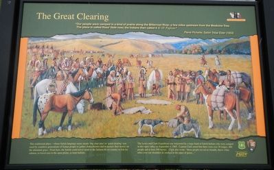
The Great Clearing
Inscription.
“Our people were camped in a kind of prairie along the Bitterroot River, a few miles upstream from the Medicine Tree. The place is called Ross’ Hole now; the Indians then called it Kwtít Pupxm.” --Pierre Pichette, Salish Tribal Elder (1953)
This traditional place - whose Salish language name means 'big clear area’ or ‘great clearing’ was used by countless generations of Indian people to gather chokecherries and to pasture their horses on the abundant grass. From here, the Salish could travel south to the Salmon River country to fish for salmon, or travel east to the open plains, to hunt buffalo.
The Lewis and Clark Expedition was welcomed by a large band of Salish Indians who were camped in this open valley on September 4, 1805. Captain Clark noted that there were over 30 lodges, 400 people and at least 500 horses. Clark also wrote: “those people recved us friendly, threw white robes over out shoulders & smoked in the pipes of peace..."
Erected by U.S. Forest Service, National Park Service, Montana Department of Transportation.
Topics and series. This historical marker is listed in these topic lists: Exploration • Native Americans. In addition, it is included in the Lewis & Clark Expedition series list.
Location. 45° 50.172′ N, 113° 58.77′ W. Marker is in Sula, Montana, in Ravalli County. Marker is on U.S. 93 near East Fork Road (Highway 472), on the left when traveling south. Touch for map. Marker is at or near this postal address: 7060 US Highway 93, Sula MT 59871, United States of America. Touch for directions.
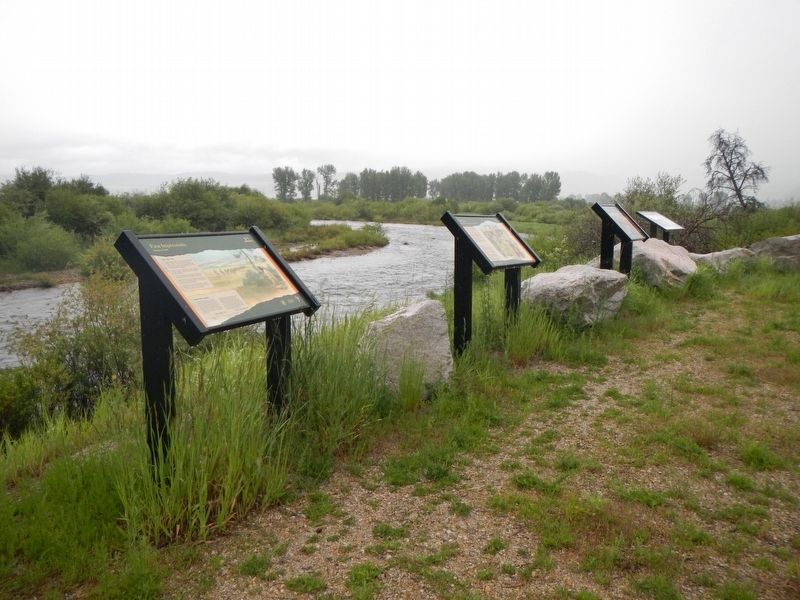
Other nearby markers. At least 8 other markers are within 10 miles of this marker, measured as the crow flies. Join the Voyage of Discovery (here, next to this marker); Survival (a few steps from this marker); Mountains on the Move (a few steps from this marker); First Impressions (a few steps from this marker); Ross' Hole (about 300 feet away, measured in a direct line); Lewis and Clark at Ross' Hole (about 400 feet away); Big Horn Sheep Conservation (approx. 2.3 miles away); Salmon River Scenic Byway (approx. 10 miles away). Touch for a list and map of all markers in Sula.
Credits. This page was last revised on September 22, 2018. It was originally submitted on September 22, 2018, by Barry Swackhamer of Brentwood, California. This page has been viewed 256 times since then and 21 times this year. Photos: 1, 2. submitted on September 22, 2018, by Barry Swackhamer of Brentwood, California.

