Plymouth, England, United Kingdom — Northwestern Europe (the British Isles)
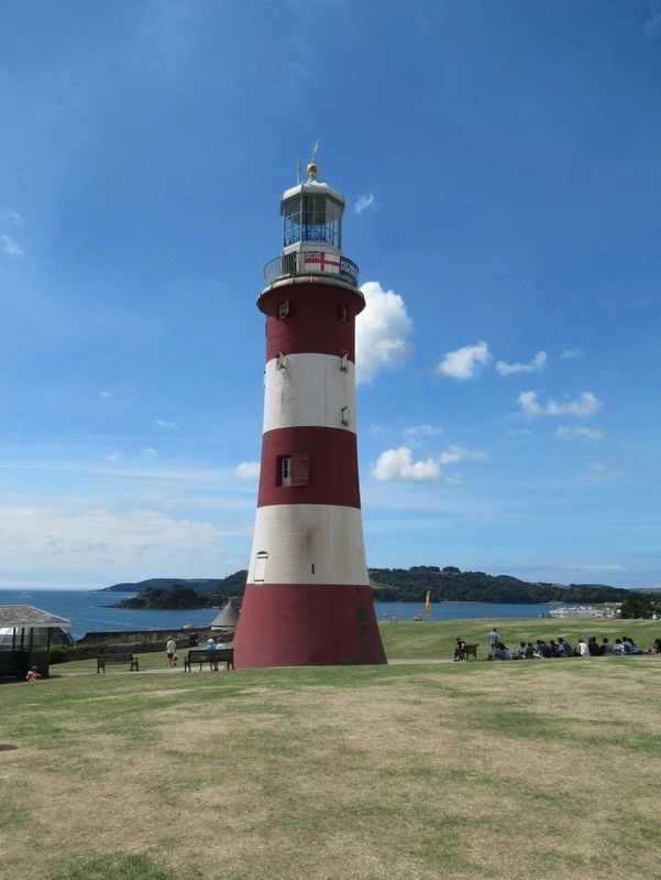
Smeaton Lighthouse
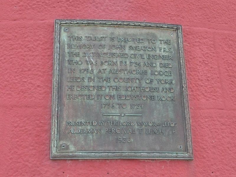
( top plaque )
This tablet is erected to the Memory of John Smeaton F.R.S. the distinguished civil engineer who was born in 1724 and died in 1792 at Austhorpe Lodge Leeds in the County of York He designed this lighthouse and erected it on Eddystone Rock
Presented by the Lord Mayor of Leeds
Alderman Percival T. Leigh J.P.
1936
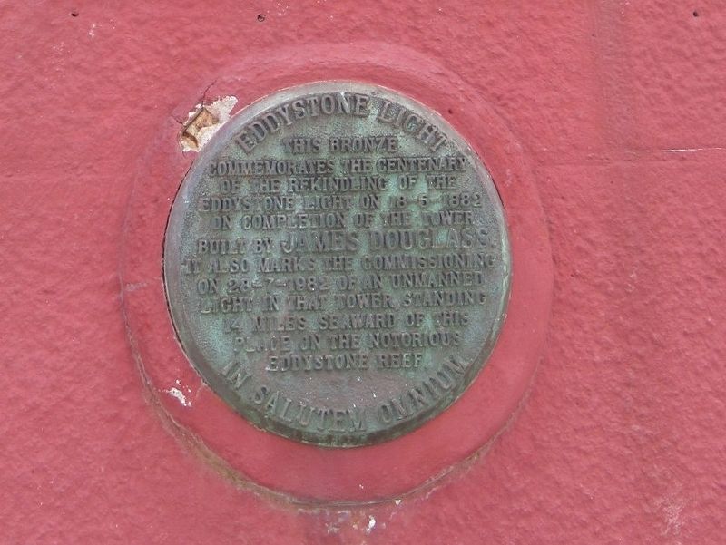
( middle round plaque)
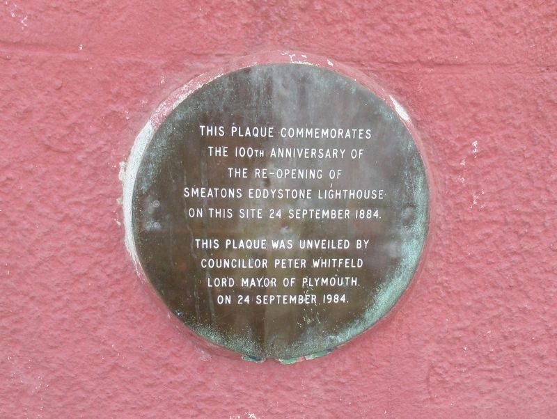
( lower round plaque)
The 100th Anniversary of
The Re-opening of
Smeaton’s Eddystone Lighthouse
On this Site 24 September 1884
This Plaque Was Unveiled by
Councillor Peter Whitfield
Lord Mayor of Plymouth
On 24 September 1984
Topics and series. This historical marker is listed in these topic lists: Notable Buildings • Waterways & Vessels. In addition, it is included in the Lighthouses series list.
Location. 50° 21.863′ N, 4° 8.512′ W. Marker is in Plymouth, England. Marker is at the intersection of Osborne Place and Citadel Road, on the left when traveling south on Osborne Place. Located on the Hoe Promenade. Touch for map. Marker is in this post office area: Plymouth, England PL1 2JU, United Kingdom. Touch for directions.
Other nearby markers. At least 8 other markers are within walking distance of this marker. Plymouth Royal Citadel (about 90 meters away, measured in a direct line); National Armada Memorial (about 90 meters away); Plymouth RAF Monument (about 90 meters away); The Laboratory on the Hoe (about 120 meters away); Royal Marines Memorial (about 120 meters away); a different marker also named The Laboratory on the Hoe (about 120 meters away); Drake Memorial (about 120 meters away); a different marker also named The Laboratory on the Hoe (about 120 meters away). Touch for a list and map of all markers in Plymouth.
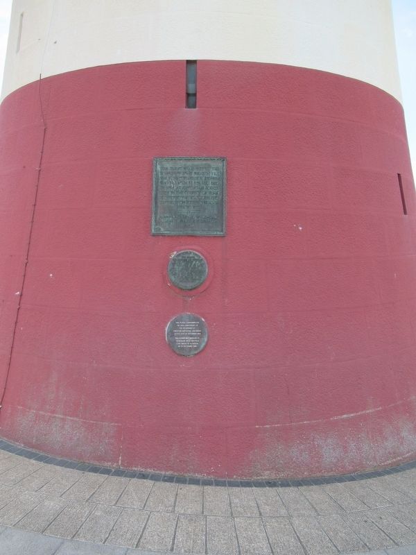
More about this marker. This is the upper portion of John Smeaton's Eddystone Lighthouse, which was originally built on the Eddystone Rocks (14 miles, 22.5 km south) in 1759. It was the third lighthouse built on the notorious reef, the previous two having been destroyed by storms. It was dismantled in 1877 and moved, stone by stone, to this location where it was re-erected.
Also see . . . Eddystone Lighthouse on Wikipedia. (Submitted on September 25, 2018, by Michael Herrick of Southbury, Connecticut.)
Credits. This page was last revised on January 27, 2022. It was originally submitted on September 25, 2018, by Michael Herrick of Southbury, Connecticut. This page has been viewed 122 times since then and 14 times this year. Photos: 1, 2, 3, 4, 5. submitted on September 25, 2018, by Michael Herrick of Southbury, Connecticut.
