American Falls in Power County, Idaho — The American West (Mountains)
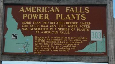
American Falls Power Plants
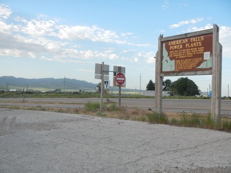
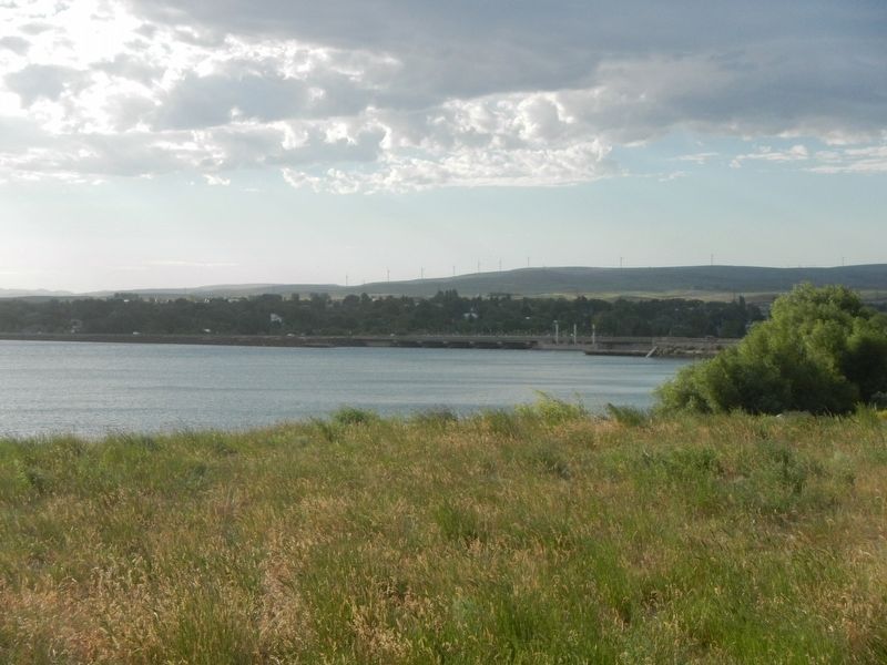
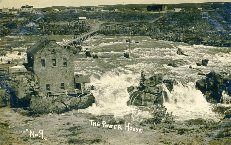
More than two decades before American Falls Dam was built, water power was generated in a series of plants at America Falls.
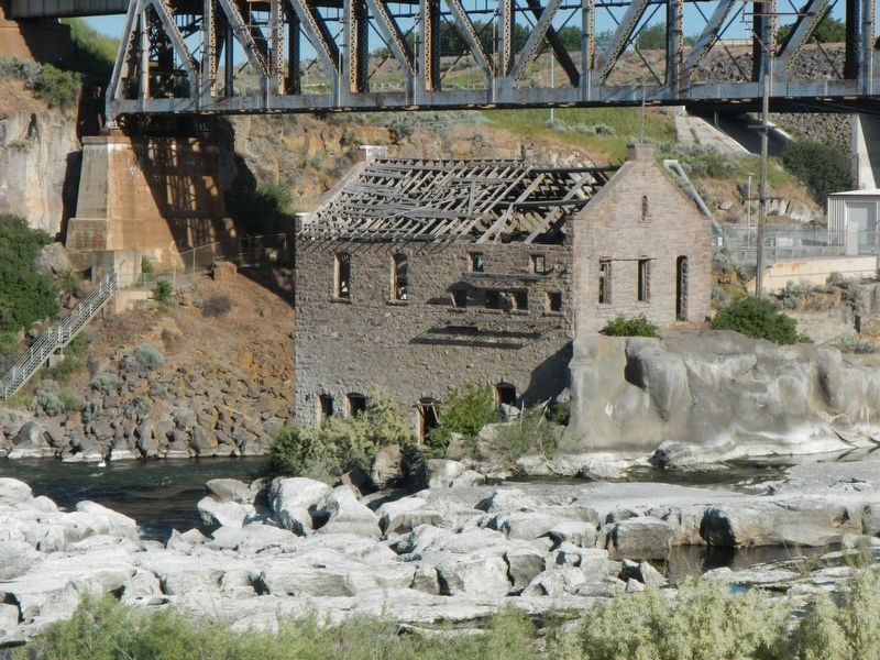
Starting with an island plant to serve Pocatello in 1902, this superlative site was utilized soon after long transmission lines were developed. As new kinds of turbines and generators were invented, they were installed here. Rare examples of old technology still are preserved in these landmark plants.
Erected by Idaho Department of Transportation. (Marker Number 383.)
Topics and series. This historical marker is listed in these topic lists: Charity & Public Work • Industry & Commerce • Waterways & Vessels. In addition, it is included in the Idaho State Historical Society series list.
Location. 42° 46.728′ N, 112° 52.968′ W. Marker is in American Falls, Idaho, in Power County. Marker can be reached from the intersection of Aberdeen Highway (Highway 39 at milepost 3) and Lamb Weston Road, on the right when traveling north. Touch for map. Marker is in this post office area: American Falls ID 83211, United States of America. Touch for directions.
Other nearby markers. At least 8 other markers are within 9 miles of this marker, measured as the crow flies. Oregon Trail (approx. half a mile away); A Town on the Move... (approx. 1.4 miles away); American Falls (approx. 1.7 miles away); Power County War Memorial (approx. 1.7 miles away); a different marker also named Oregon Trail (approx. 1.7 miles away); a different marker also named Oregon Trail (approx. 7 miles away); Snake River Rest Area Oregon Trail Kiosk (approx. 7.1 miles away); Massacre Rock - A Clashing of Cultures (approx. 8.9 miles away). Touch for a list and map of all markers in American Falls.
More about this marker. Only the backside of the marker is visible from the highway. To view the marker proceed to the frontage road and the Bureau of Land Management information center.
Credits. This page was last revised on August 25, 2020. It was originally submitted on October 1, 2018, by Barry Swackhamer of Brentwood, California. This page has been viewed 359 times since then and 23 times this year. Photos: 1, 2, 3, 4, 5. submitted on October 1, 2018, by Barry Swackhamer of Brentwood, California.
