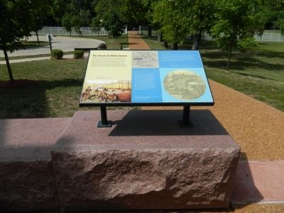
The Roads to White Haven
Ulysses S. Grant National Historic Site
Men preparing a dirt road for macadamization
Improved Travel
Although Gravois Road would not lose its importance as a main thoroughfare, the expansion of the Pacific Railroad greatly increased the ease and speed of travel to White Haven and neighboring communities. In 1872, Grant deeded an easement through his property to help establish the Carondelet Branch of the Pacific Railroad. In addition to the right-of-way, he also provided acreage near Gravois Road for a station that was named for the President.
Trains became the mainstay of passenger travel with small stations dotting the landscape.
Early Travel
Grant first traveled to White Haven on horseback down Gravois Road, then a dirt road stretching from St. Louis to Fenton. By 1854, laborers macadamized the road with a bed of heavy rock covered with a layer of tar and smaller gravel. Farmers selling crops in the city paid a toll to use the "improved" road. During hot summer
Topics and series. This historical marker is listed in these topic lists: Railroads & Streetcars • Roads & Vehicles. In addition, it is included in the Former U.S. Presidents: #18 Ulysses S. Grant series list. A significant historical year for this entry is 1872.
Location. 38° 33.125′ N, 90° 21.094′ W. Marker is near Affton, Missouri, in St. Louis County. Marker can be reached from Grant Road. Touch for map. Marker is at or near this postal address: 7400 Grant Road, Saint Louis MO 63123, United States of America. Touch for directions.
Other nearby markers. At least 8 other markers are within walking distance of this marker. New Buildings for White Haven (here, next to this marker); Slaves Only (here, next to this marker); The White Haven Estate: Other Houses (here, next to this marker); The Working Farm (here, next to this marker); Early Owners of the Farm (here, next to this marker); White Haven's Outbuildings (here, next to this marker); Green Haven? (here, next to this marker); Outbuildings / ~150 Years Ago—Colored Troops (within shouting distance of this marker). Touch for a list and map of all markers in Affton.
Credits. This page was last revised on March 25, 2023. It was originally submitted on September 3, 2012, by Bill Pfingsten of Bel Air, Maryland. This page has been viewed 500 times since then and 9 times this year. Last updated on October 15, 2018, by Devry Becker Jones of Washington, District of Columbia. Photo 1. submitted on September 3, 2012, by Bill Pfingsten of Bel Air, Maryland.
