Milford in Oakland County, Michigan — The American Midwest (Great Lakes)
Arthur's Park
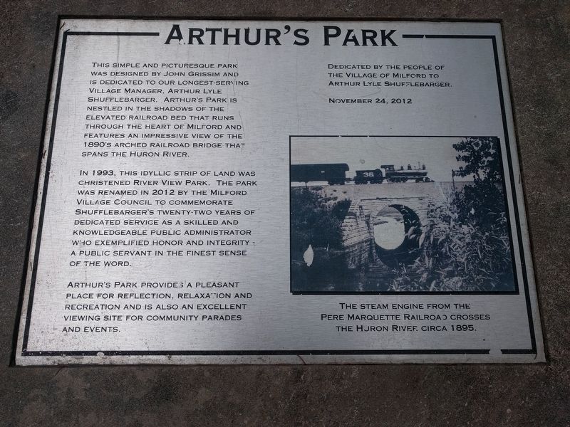
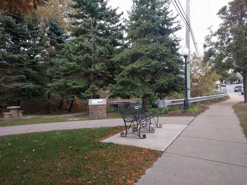
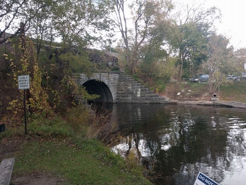
This simple and picturesque park was designed by John Grissim and is dedicated to our longest-serving Village Manager, Arthur Lyle Shufflebarger. Arthur's Park is nestled in the shadows of the elevated railroad bed that runs through the heart of Milford and features an impressive view of the 1890's arched railroad bridge that spans the Huron River.
In 1993, this idyllic strip of land was christened River View Park. The park was renamed in 2012 by the Milford Village Council to commemorate Shufflebarger's twenty-two years of dedicated service as a skilled and knowledgeable public administrator who exemplified honor and integrity - a public servant in the finest sense of the word.
Arthur's Park provides a pleasant place for reflection, relaxation and recreation and is also an excellent viewing site for community parades and events.
Dedicated by the people of the Village of Milford to Arthur Lyle Shufflebarger.
November 24, 2012
Photo caption:
The steam engine from the Pere Marquette Railroad crosses the Huron River circa 1895.
Erected 2012.
Topics. This historical marker is listed in these topic lists: Charity & Public Work • Parks & Recreational Areas. A significant historical date for this entry is November 24, 2012.
Location. 42° 35.239′ N, 83° 36.022′ W. Marker is in Milford, Michigan, in Oakland County. Marker is on North Main Street, 0.1 miles south of Canal Street, on the left when traveling south. Touch for map. Marker is in this post office area: Milford MI 48381, United States of America. Touch for directions.
Other nearby markers. At least 8 other markers are within walking distance of this marker. Wells Brothers Foundry (within shouting distance of this marker); Milford's Water Works Building (about 400 feet away, measured in a direct line); Pettibone Creek Hydroelectric Station (approx. 0.2 miles away); A Ford Village Industry (approx. 0.2 miles away); Phelps Saw Mill and Distillery (approx. 0.2 miles away); Motley Lights (approx. ¼ mile away); Milford Rural Agricultural School (approx. 0.3 miles away); Wood-Hubbell House (approx. 0.3 miles away). Touch for a list and map of all markers in Milford.
Credits. This page was last revised on February 12, 2023. It was originally submitted on October 21, 2018, by Joel Seewald of Madison Heights, Michigan. This page has been viewed 263 times since then and 10 times this year. Photos: 1, 2, 3. submitted on October 21, 2018, by Joel Seewald of Madison Heights, Michigan.


