Elmwood in Jefferson Parish, Louisiana — The American South (West South Central)
Huey P. Long Bridge, Louisiana
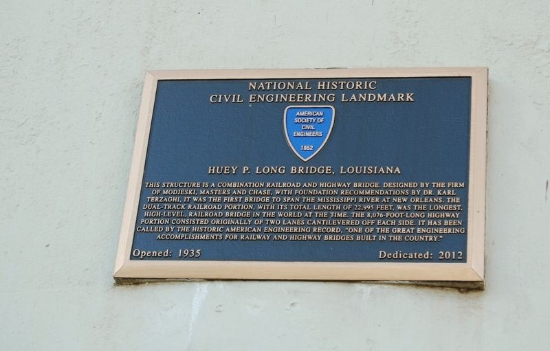
National Historic Civil Engineering Landmark
This structure is a combination railroad and highway bridge. Designed by the firm of Modjeski, Masters and Chase, with foundation recommendations by Dr. Karl Terzaghi. It was the first bridge to span the Mississippi River at New Orleans. The dual-track railroad portion, with its total length of 22,995 feet, was the longest, high-level, railroad bridge at the time. The 8,076-foot-long highway portion consisted originally of two lanes cantilevered off each side. It has been called by the Historic American Engineering Record, "One of the great engineering accomplishments for railway and highway bridges built in the country."
Opened: 1935
Erected 2012 by American Society of Civil Engineers.
Topics and series. This historical marker is listed in these topic lists: Bridges & Viaducts • Landmarks • Roads & Vehicles. In addition, it is included in the ASCE Civil Engineering Landmarks series list.
Location. 29° 56.897′ N, 90° 10.399′ W. Marker is in Elmwood, Louisiana, in Jefferson Parish. Marker is on River Road (State Road 611-1) north of St. George Street, on the right when traveling north. Touch for map. Marker is in this post office area: New Orleans LA 70123, United States of America. Touch for directions.
Other nearby markers. At least 8 other markers are within 2 miles of this marker, measured as the crow flies. Whitehall Plantation Home (approx. 0.4 miles away); Wedell - Williams Airport Site (approx. half a mile away); Marsalis Mansion Motel (approx. one mile away); Magnolia Lane (approx. 1.2 miles away); Camp Parapet (approx. 1.2 miles away); City Of Harahan (approx. 1.4 miles away); a different marker also named Camp Parapet (approx. 1.4 miles away); a different marker also named Camp Parapet (approx. 1.4 miles away).
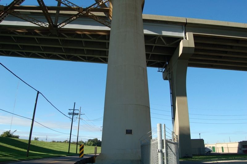
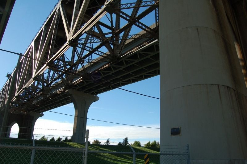
More about this marker. Located on the first bridge pylon/support east of river road facing south on the East Bank side.
Credits. This page was last revised on June 17, 2022. It was originally submitted on October 21, 2018, by Cajun Scrambler of Assumption, Louisiana. This page has been viewed 266 times since then and 23 times this year. Photos: 1, 2, 3. submitted on October 21, 2018, by Cajun Scrambler of Assumption, Louisiana.


