Corbridge in Northumberland, England, United Kingdom — Northwestern Europe (the British Isles)
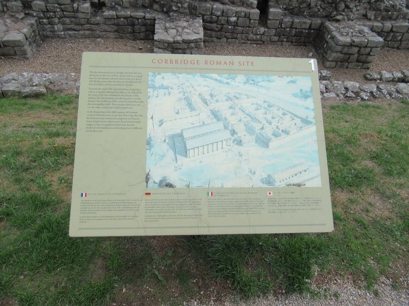
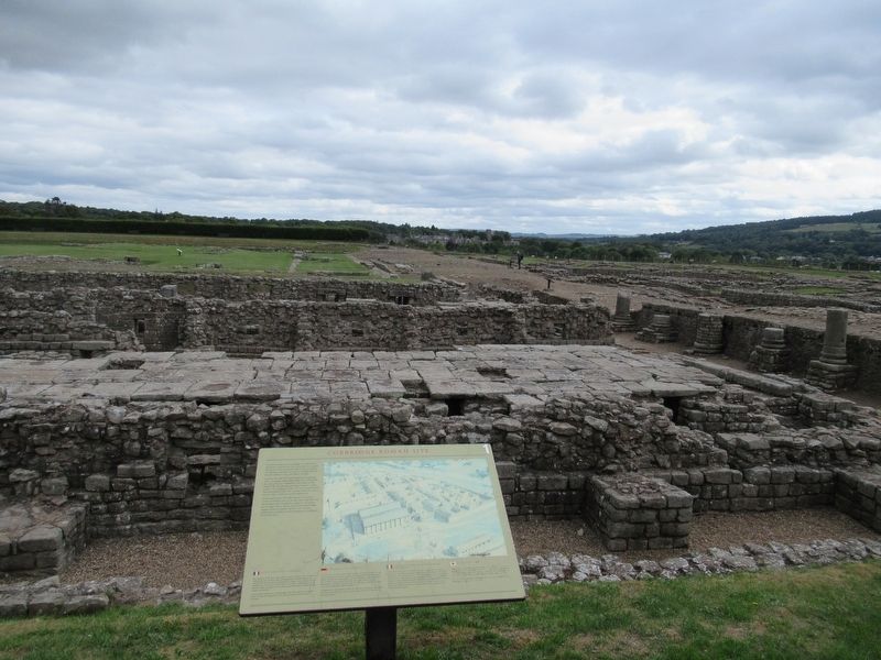
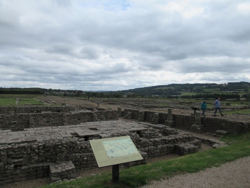
Corbridge Roman Site
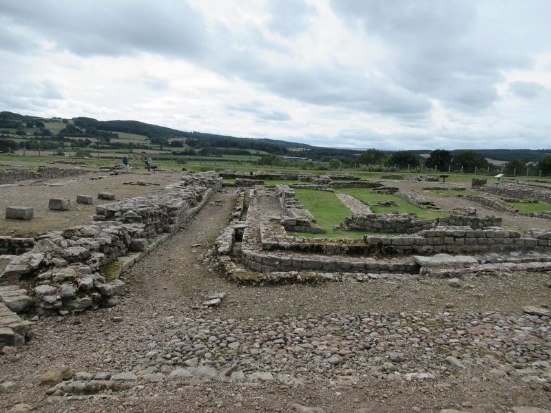
Towards the end of the second century Corbridge's role as a regular military fort came to an end. While the core of the site remained in the hands of the military the surrounding area developed as a town. Many of the buildings of the town are buried beneath the surrounding fields. The remains which you can see are only a small part of the central area.
At the beginning of the fifth century AD Roman control of Britain came to an end. How long after this the Roman town remained occupied is not known. Some Anglo-Saxon objects were found which might suggest some occupation at that time, but the medieval and modern town developed on a different site further east.
( the marker text is also presented in French, German, Italian and Japanese )
Topics. This historical marker is listed in these topic lists: Forts and Castles • Settlements & Settlers.
Location. 54° 58.698′ N, 2° 1.802′ W. Marker is in Corbridge, England, in Northumberland . Marker can be reached from Corchester Lane, 0.8 kilometers west of Stagshaw Road, on the left when traveling west. Located in Corbridge Roman Town. Touch for map. Marker is in this post office area: Corbridge, England NE45 5NT, United Kingdom. Touch for directions.
Other nearby markers. At least 8 other markers are within walking distance of this marker. The Granaries (a few steps from this marker); The Main Street (a few steps from this marker); The Fountain House (within shouting distance of this marker); The West Headquarters Building (within shouting distance of this marker); The West Military Compound (within shouting distance of this marker); The Courtyard Building (within shouting distance of this marker); The Early Forts (within shouting distance of this marker); The Side Street (within shouting distance of this marker). Touch for a list and map of all markers in Corbridge.
Also see . . .
1. Corbridge Roman Town – English Heritage. (Submitted on October 27, 2018, by Michael Herrick of Southbury, Connecticut.)
2. Coria (Corbridge) on Wikipedia. (Submitted on October 27, 2018, by Michael Herrick of Southbury, Connecticut.)
Credits. This page was last revised on January 27, 2022. It was originally submitted on October 27, 2018, by Michael Herrick of Southbury, Connecticut. This page has been viewed 73 times since then and 4 times this year. Photos: 1, 2, 3. submitted on October 27, 2018, by Michael Herrick of Southbury, Connecticut. 4. submitted on October 28, 2018, by Michael Herrick of Southbury, Connecticut.


